MyTopo
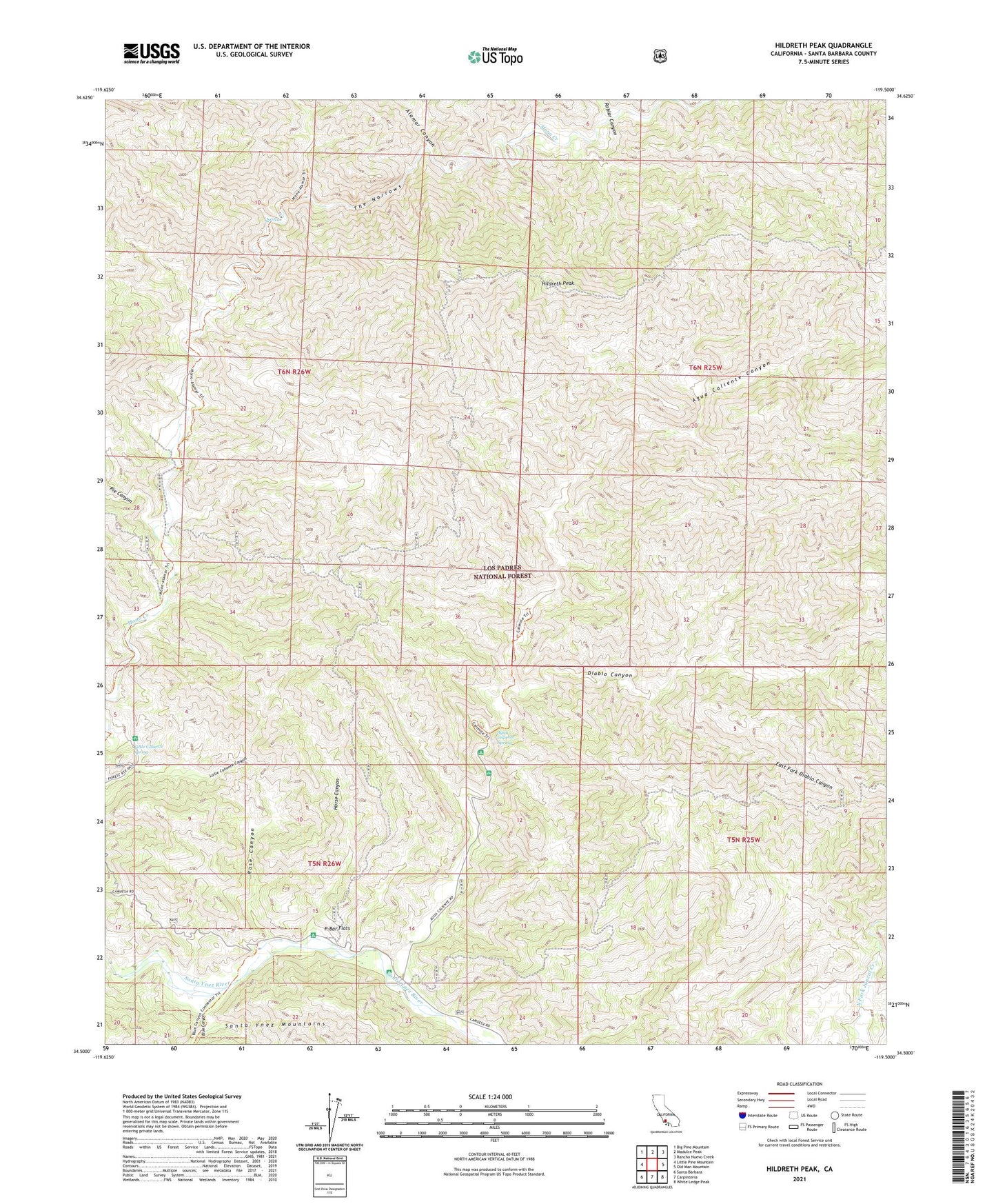
Hildreth Peak California US Topo Map
Couldn't load pickup availability
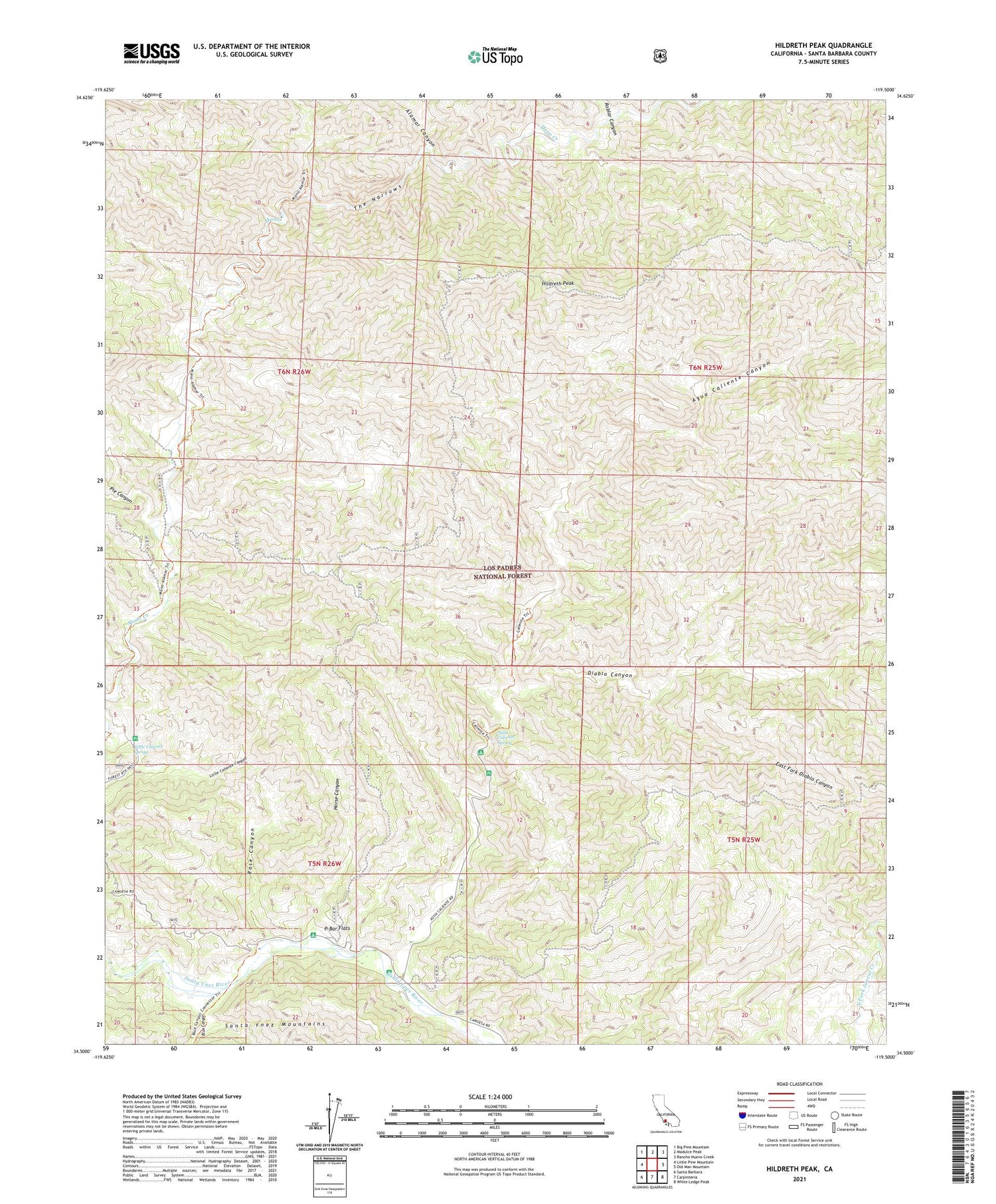
Also explore the Hildreth Peak Forest Service Topo of this same quad for updated USFS data
2021 topographic map quadrangle Hildreth Peak in the state of California. Scale: 1:24000. Based on the newly updated USGS 7.5' US Topo map series, this map is in the following counties: Santa Barbara. The map contains contour data, water features, and other items you are used to seeing on USGS maps, but also has updated roads and other features. This is the next generation of topographic maps. Printed on high-quality waterproof paper with UV fade-resistant inks.
Quads adjacent to this one:
West: Little Pine Mountain
Northwest: Big Pine Mountain
North: Madulce Peak
Northeast: Rancho Nuevo Creek
East: Old Man Mountain
Southeast: White Ledge Peak
South: Carpinteria
Southwest: Santa Barbara
This map covers the same area as the classic USGS quad with code o34119e5.
Contains the following named places: Agua Caliente Canyon, Agua Caliente Spring, Agua Caliente Trail, Alamar Canyon, Big Caliente Debris Dam, Big Caliente Recreation Site, Big Cliente Debris Dam, Blue Canyon, Diablo Canyon, East Fork Diablo Canyon, Hildreth Peak, Horse Canyon, Little Caliente Spring, Lower Caliente Recreation Site, Middle Santa Ynez Campground, Mono Alamar Trail, Ogilvy Ranch, P-Bar Flats, P-Bar Flats Campground, Pendola Campground, Pendola Debris Dam, Pendola Guard Station, Pie Canyon, Roblar Canyon, Roblar Trail, Rose Canyon, The Narrows