
MyTopo
Homewood Canyon California US Topo Map
Couldn't load pickup availability
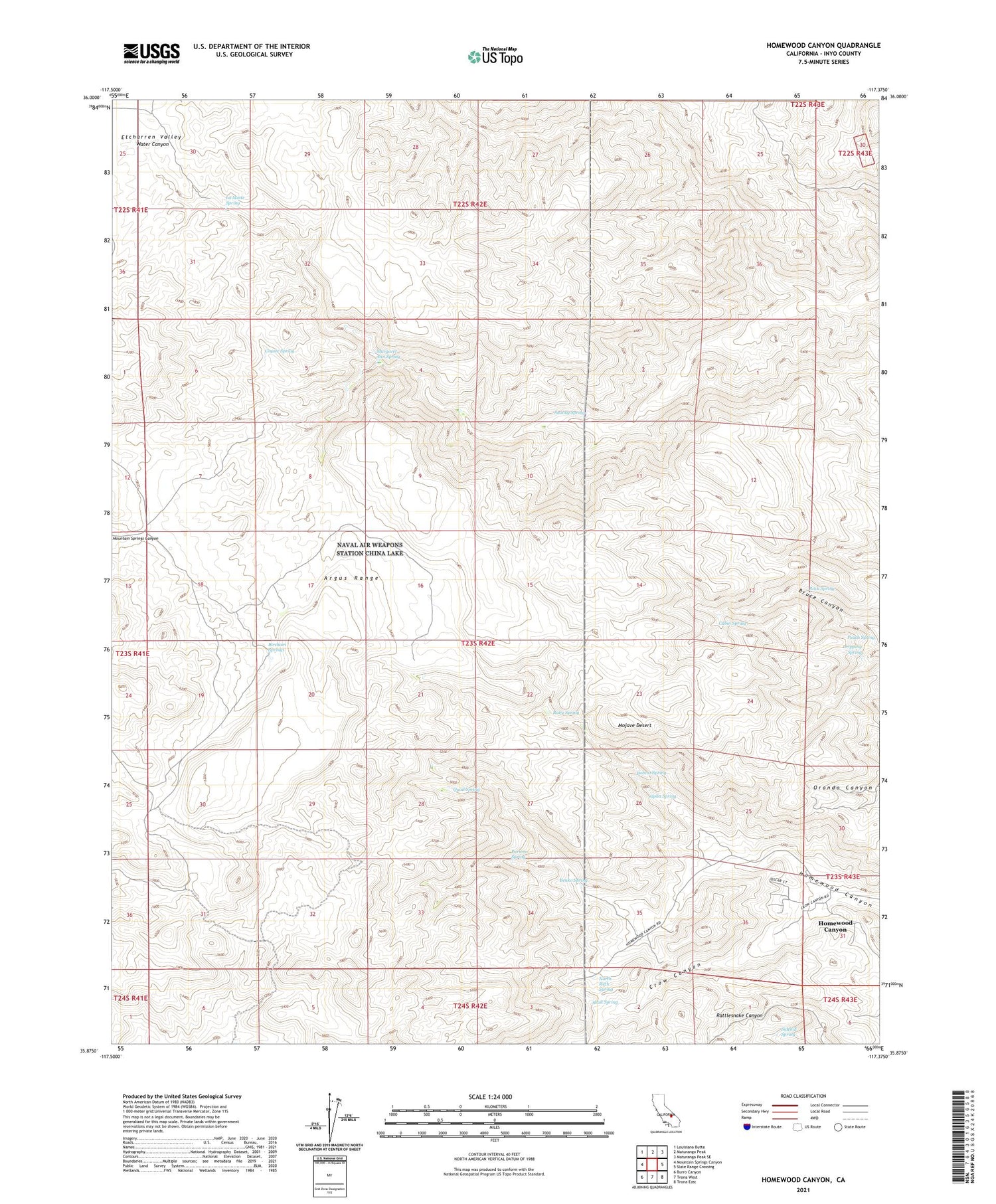
2021 topographic map quadrangle Homewood Canyon in the state of California. Scale: 1:24000. Based on the newly updated USGS 7.5' US Topo map series, this map is in the following counties: Inyo. The map contains contour data, water features, and other items you are used to seeing on USGS maps, but also has updated roads and other features. This is the next generation of topographic maps. Printed on high-quality waterproof paper with UV fade-resistant inks.
Quads adjacent to this one:
West: Mountain Springs Canyon
Northwest: Louisiana Butte
North: Maturango Peak
Northeast: Maturango Peak SE
East: Slate Range Crossing
Southeast: Trona East
South: Trona West
Southwest: Burro Canyon
This map covers the same area as the classic USGS quad with code o35117h4.
Contains the following named places: Alpha Spring, Argus Range, Benko Spring, Bircham Springs, Bircham Springs Picnic Area, Bobcat Spring, Cabin Spring, Coyote Spring, Crow Canyon, Davenport Mine, Dripping Spring, Etcharren Valley, Homewood Canyon Census Designated Place, La Motte Spring, Margaret Ann Spring, Mohawk Mine, North Ruth Spring, Orondo Mine, Parsons Spring, Peach Spring, Quail Spring, Rock Spring, Ruby Spring, Ruth Mine, Saint Patrick Mine, Sidehill Spring, Skull Spring, Snooky Spring


