MyTopo
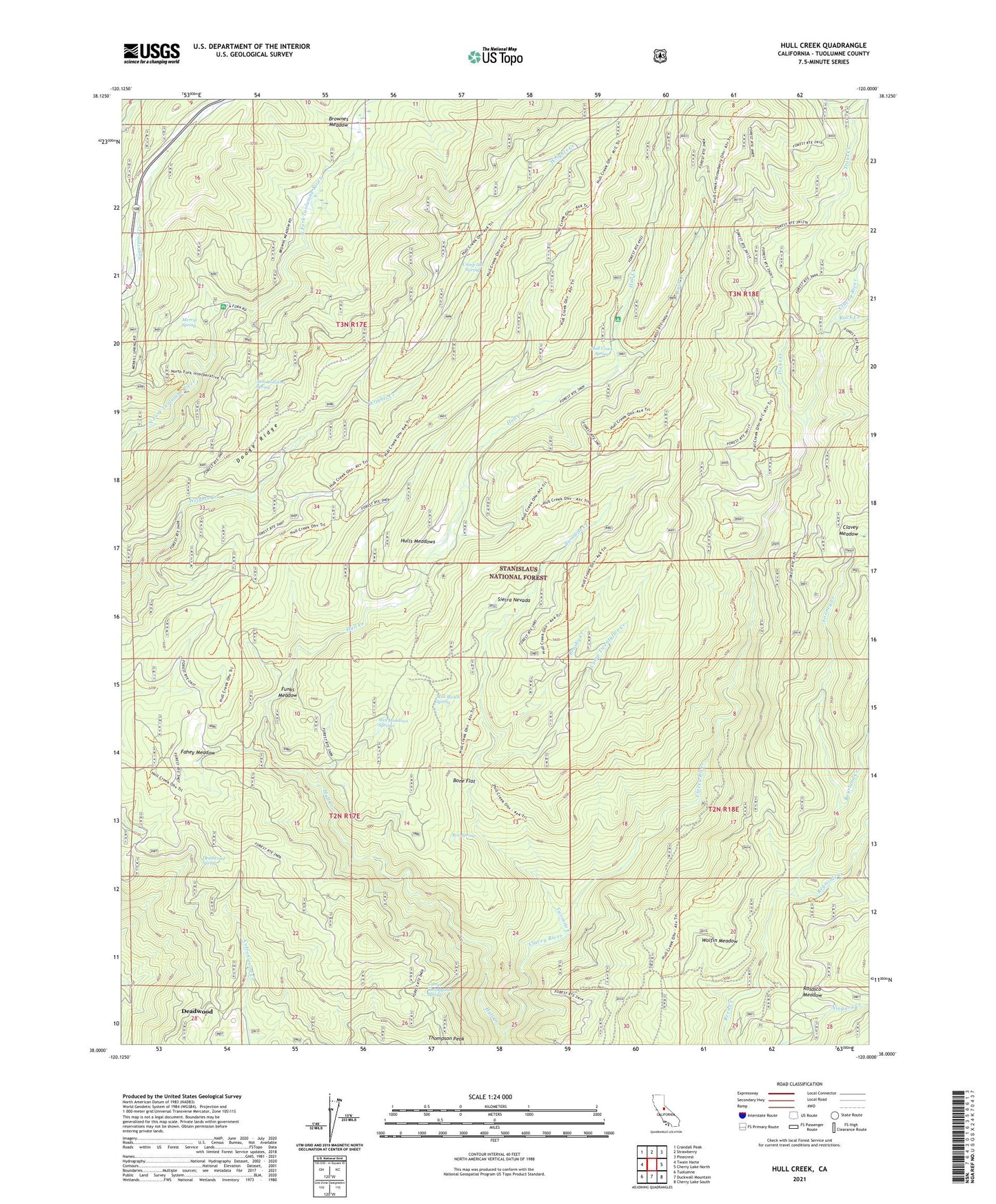
Hull Creek California US Topo Map
Couldn't load pickup availability
Also explore the Hull Creek Forest Service Topo of this same quad for updated USFS data
2021 topographic map quadrangle Hull Creek in the state of California. Scale: 1:24000. Based on the newly updated USGS 7.5' US Topo map series, this map is in the following counties: Tuolumne. The map contains contour data, water features, and other items you are used to seeing on USGS maps, but also has updated roads and other features. This is the next generation of topographic maps. Printed on high-quality waterproof paper with UV fade-resistant inks.
Quads adjacent to this one:
West: Twain Harte
Northwest: Crandall Peak
North: Strawberry
Northeast: Pinecrest
East: Cherry Lake North
Southeast: Cherry Lake South
South: Duckwall Mountain
Southwest: Tuolumne
This map covers the same area as the classic USGS quad with code o38120a1.
Contains the following named places: Bone Flat, Bourland Creek, Box Spring, Brownes Meadow, Brushy Creek, Camp Clavey, Camp Ida Spring, Camp Niagara, Camp Twentyfive Creek, Camp Twentyfour, Camp Twentyone Spring, Deadwood, Deadwood Spring, Fahey Cabin, Fahey Meadow, Faust Cabin, Funks Meadow, Hull Creek, Hull Creek Campground, Hull Creek Spring, Hulls Meadows, Lee Price Camp, Looney Creek, Merrill Spring, Milk Ranch Spring, Reynolds Creek, Rock Creek, Rosasco Meadow, Rush Creek, Sam Williams Spring, Trout Creek, Twomile Creek, Wet Meadows Springs, Wolfin Meadow, ZIP Code: 95335