MyTopo
Lanes Bridge California US Topo Map
Couldn't load pickup availability
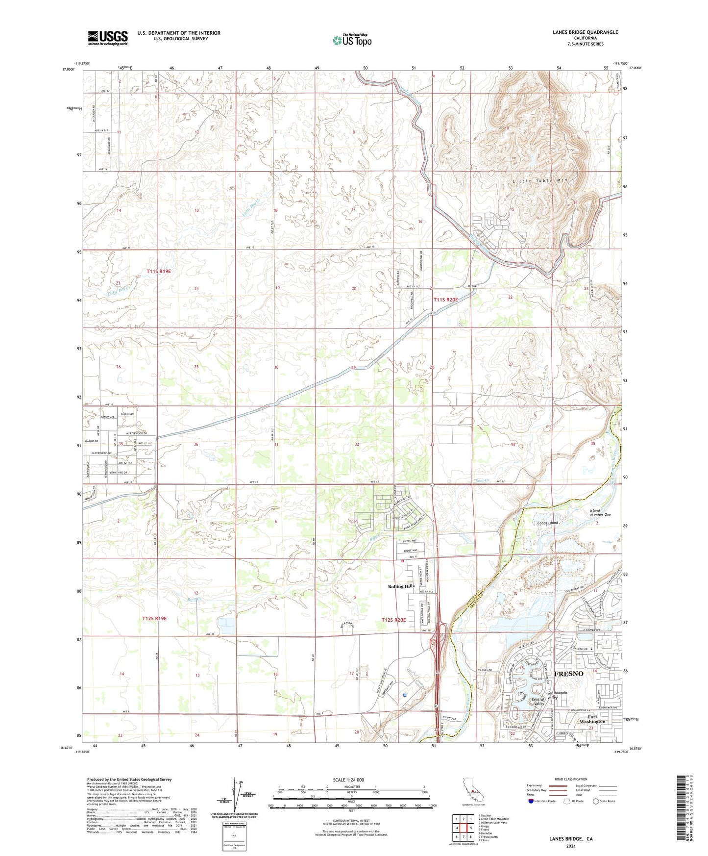
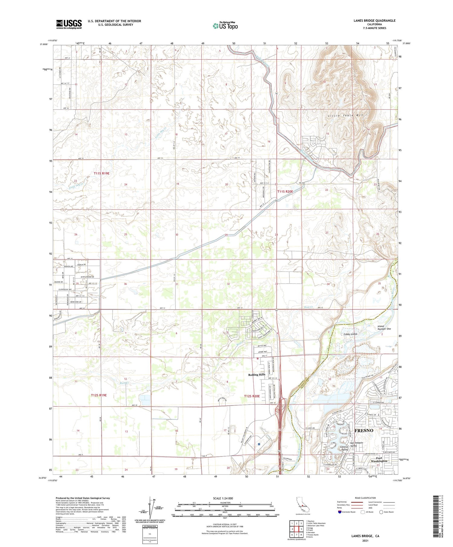
2021 topographic map quadrangle Lanes Bridge in the state of California. Scale: 1:24000. Based on the newly updated USGS 7.5' US Topo map series, this map is in the following counties: Madera, Fresno. The map contains contour data, water features, and other items you are used to seeing on USGS maps, but also has updated roads and other features. This is the next generation of topographic maps. Printed on high-quality waterproof paper with UV fade-resistant inks.
Quads adjacent to this one:
West: Gregg
Northwest: Daulton
North: Little Table Mountain
Northeast: Millerton Lake West
East: Friant
Southeast: Clovis
South: Fresno North
Southwest: Herndon
This map covers the same area as the classic USGS quad with code o36119h7.
Contains the following named places: Arnold Ranch Airport, Bonadelle Ranchos Nine, Bonadelle Ranchos-Madera Ranchos Census Designated Place, Cobbs Island, Deep Well School, Fort Washington Census Designated Place, Fort Washington Country Club, Fort Washington School, Island Number One, Lanes Bridge, Little Dry Creek, Madera County Fire Department Station 9, Rolling Hills, Rolling Hills Census Designated Place, Sumner Hill, Valley Children's Hospital, Webster School, ZIP Code: 93636