MyTopo
Lillis Ranch California US Topo Map
Couldn't load pickup availability
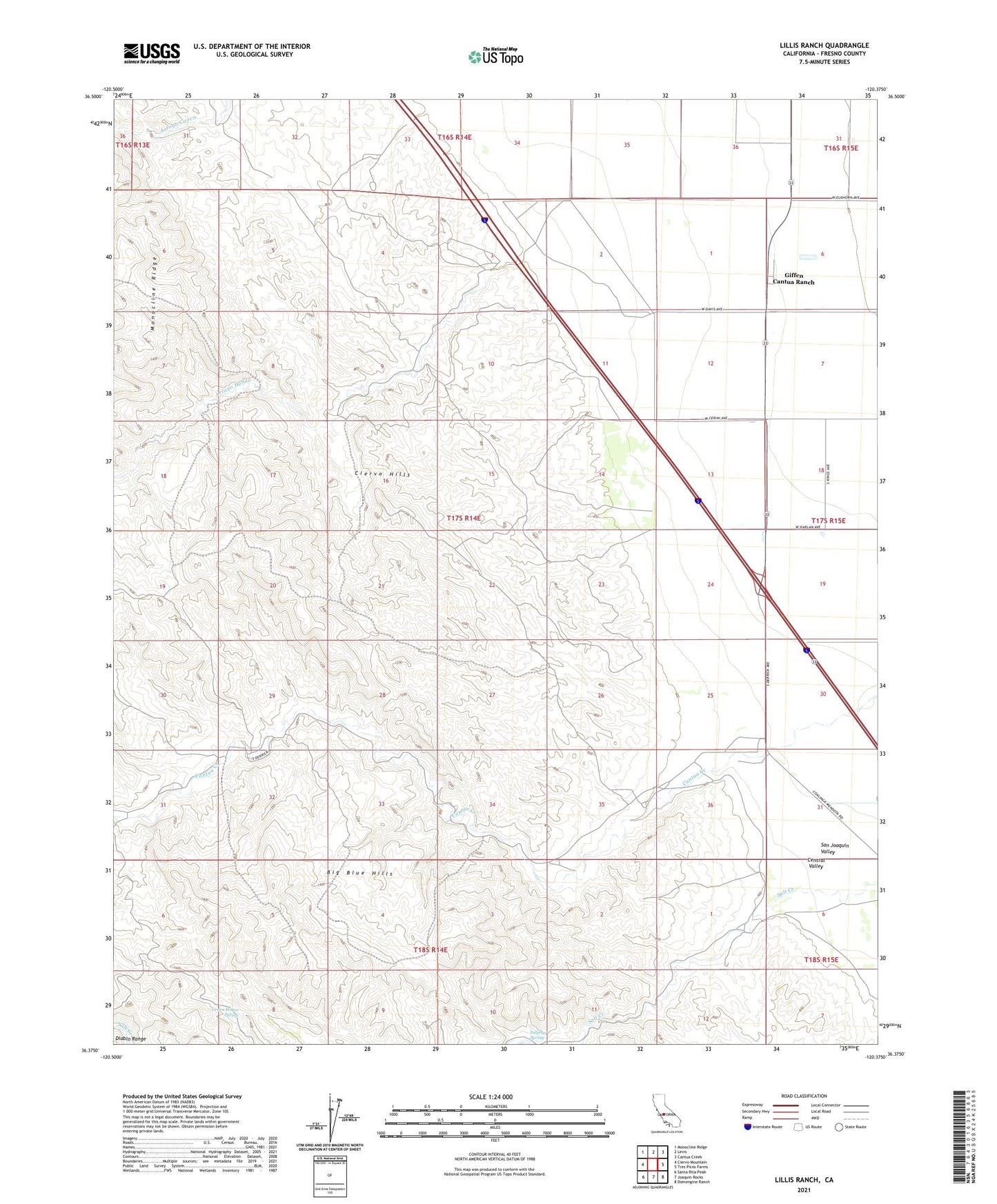
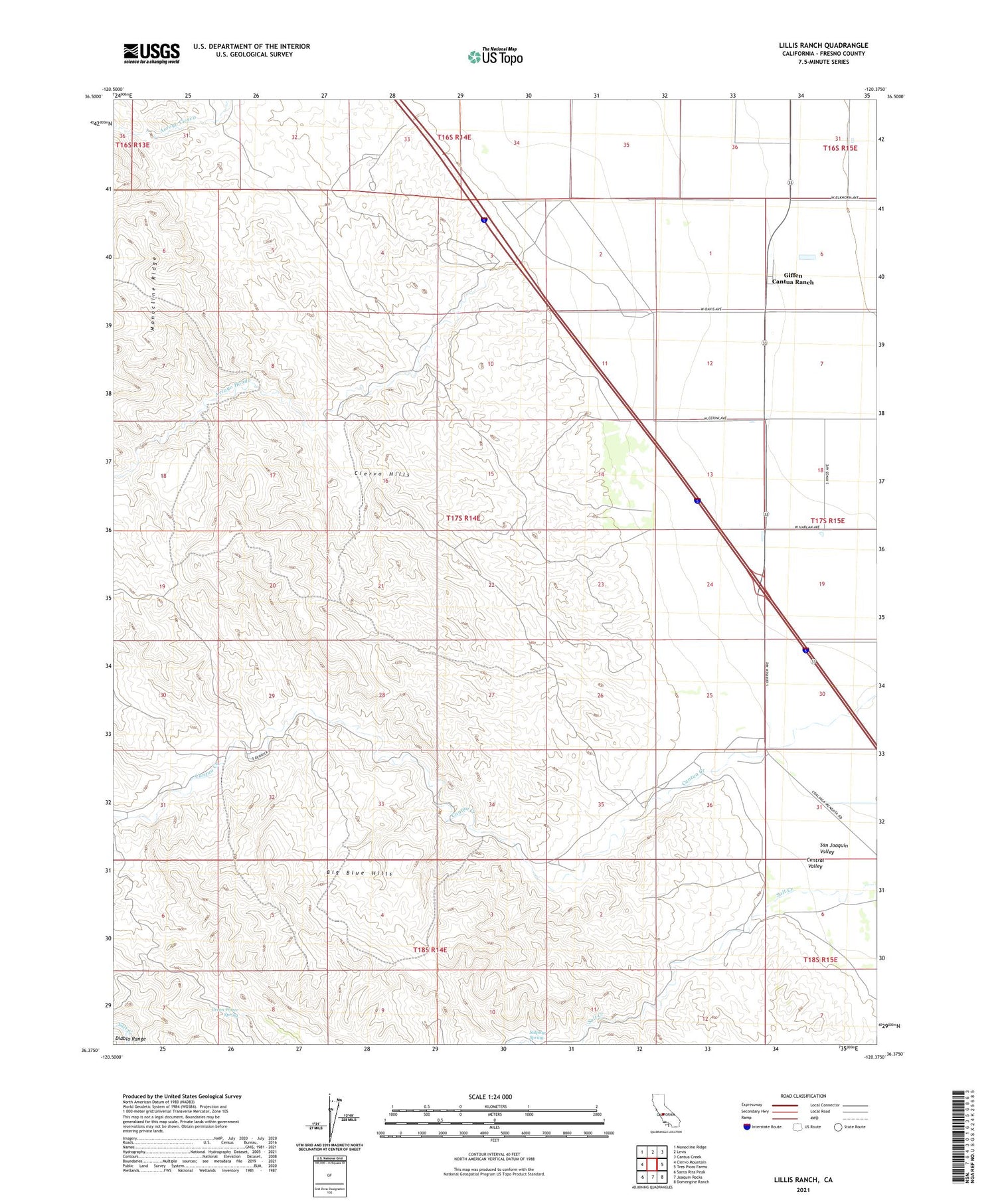
2021 topographic map quadrangle Lillis Ranch in the state of California. Scale: 1:24000. Based on the newly updated USGS 7.5' US Topo map series, this map is in the following counties: Fresno. The map contains contour data, water features, and other items you are used to seeing on USGS maps, but also has updated roads and other features. This is the next generation of topographic maps. Printed on high-quality waterproof paper with UV fade-resistant inks.
Quads adjacent to this one:
West: Ciervo Mountain
Northwest: Monocline Ridge
North: Levis
Northeast: Cantua Creek
East: Tres Picos Farms
Southeast: Domengine Ranch
South: Joaquin Rocks
Southwest: Santa Rita Peak
This map covers the same area as the classic USGS quad with code o36120d4.
Contains the following named places: Arroyo Hondo, Big Blue Hills, Cantua Creek Pit, Cantua School, Derrick Avenue Pit, Giffen Cantua Ranch, Green Water Spring, Lillis Ranch, Sulphur Spring