MyTopo
Monocline Ridge California US Topo Map
Couldn't load pickup availability
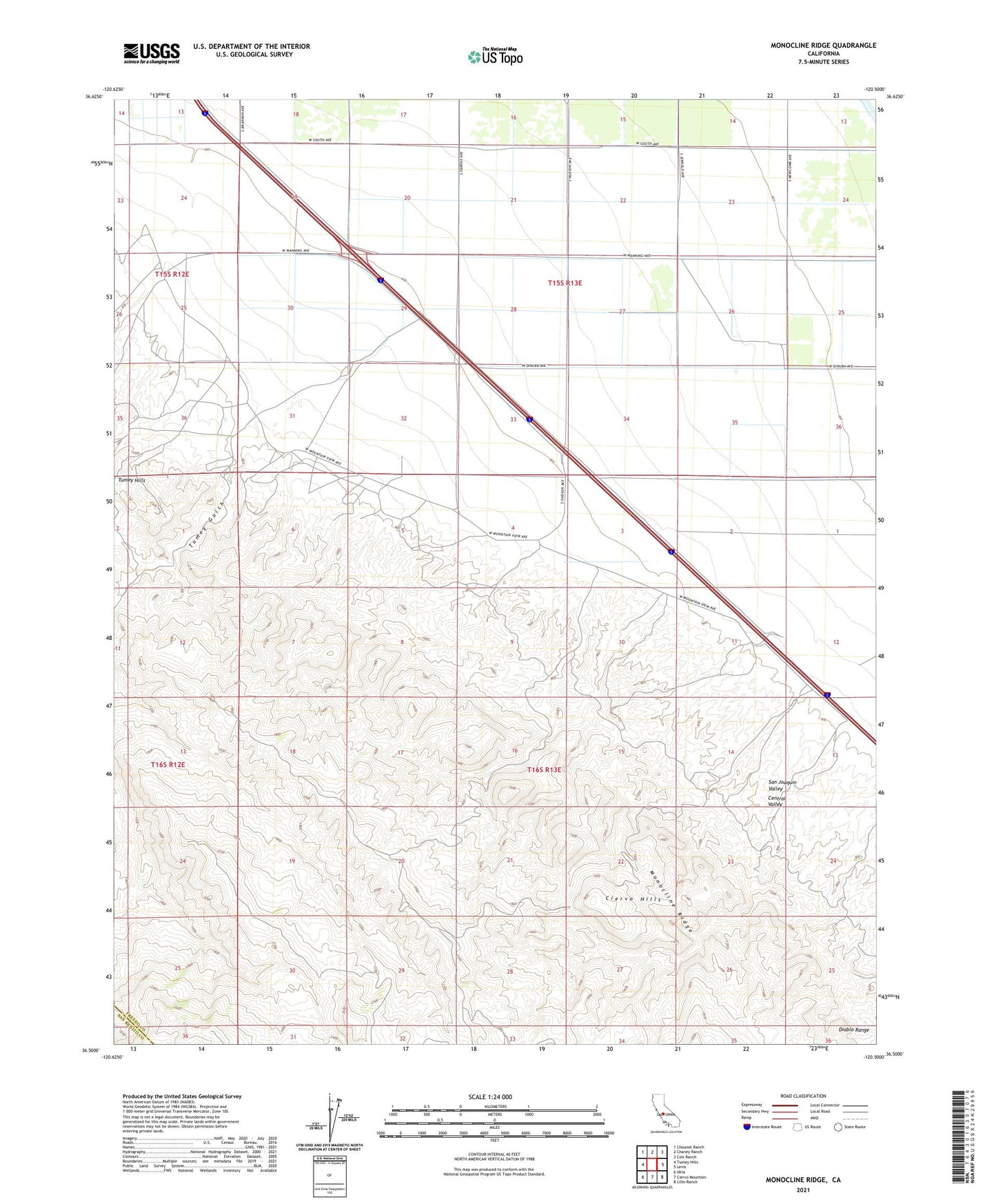
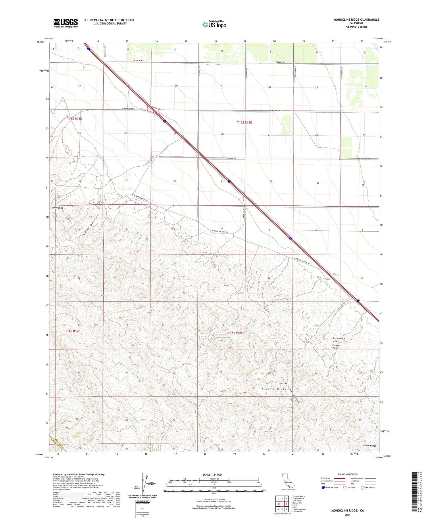
2021 topographic map quadrangle Monocline Ridge in the state of California. Scale: 1:24000. Based on the newly updated USGS 7.5' US Topo map series, this map is in the following counties: Fresno, San Benito. The map contains contour data, water features, and other items you are used to seeing on USGS maps, but also has updated roads and other features. This is the next generation of topographic maps. Printed on high-quality waterproof paper with UV fade-resistant inks.
Quads adjacent to this one:
West: Tumey Hills
Northwest: Chounet Ranch
North: Chaney Ranch
Northeast: Coit Ranch
East: Levis
Southeast: Lillis Ranch
South: Ciervo Mountain
Southwest: Idria
This map covers the same area as the classic USGS quad with code o36120e5.
Contains the following named places: Chaney Pumping Station, Tumey Gulch