MyTopo
Marl Mountains California US Topo Map
Couldn't load pickup availability
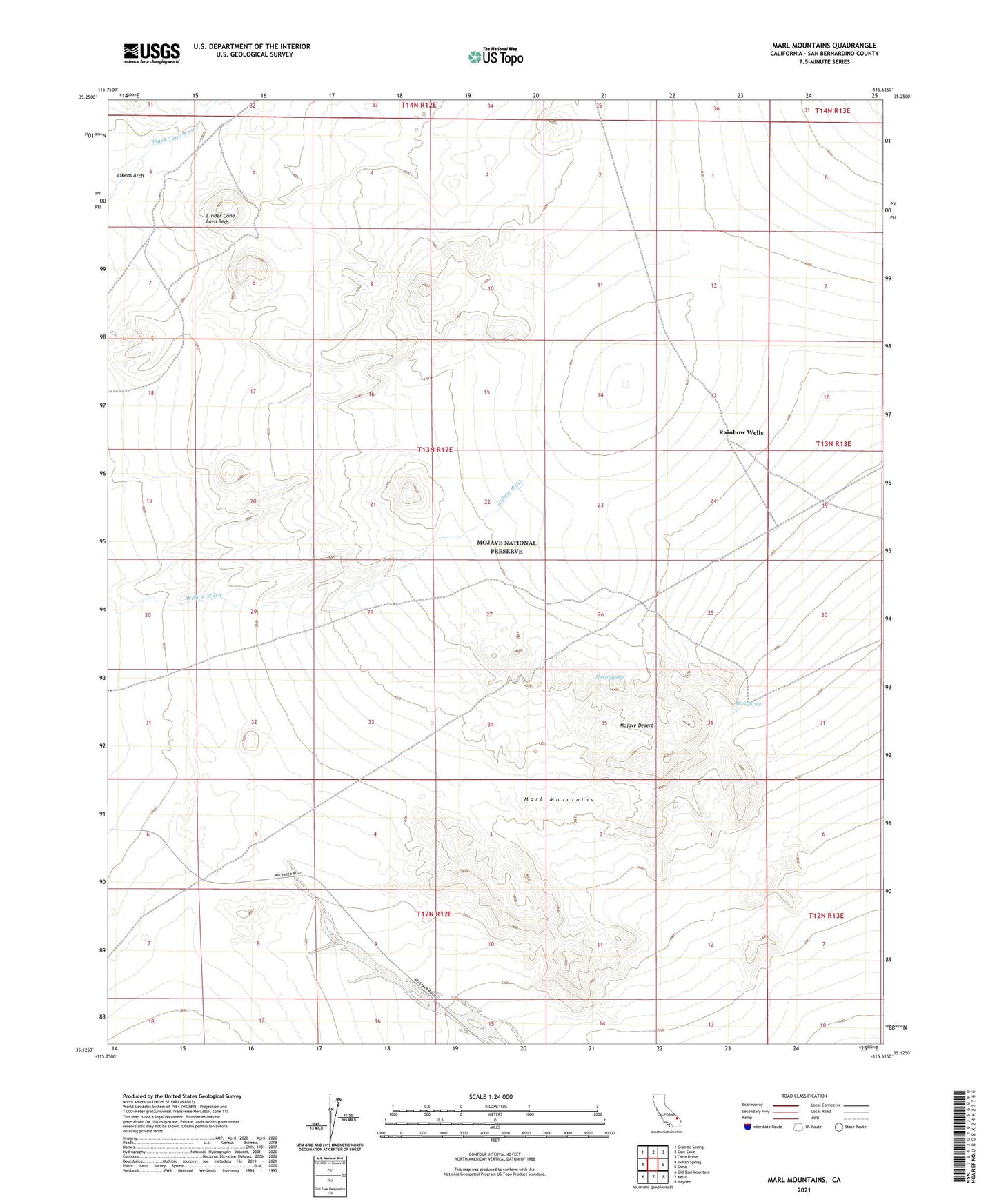
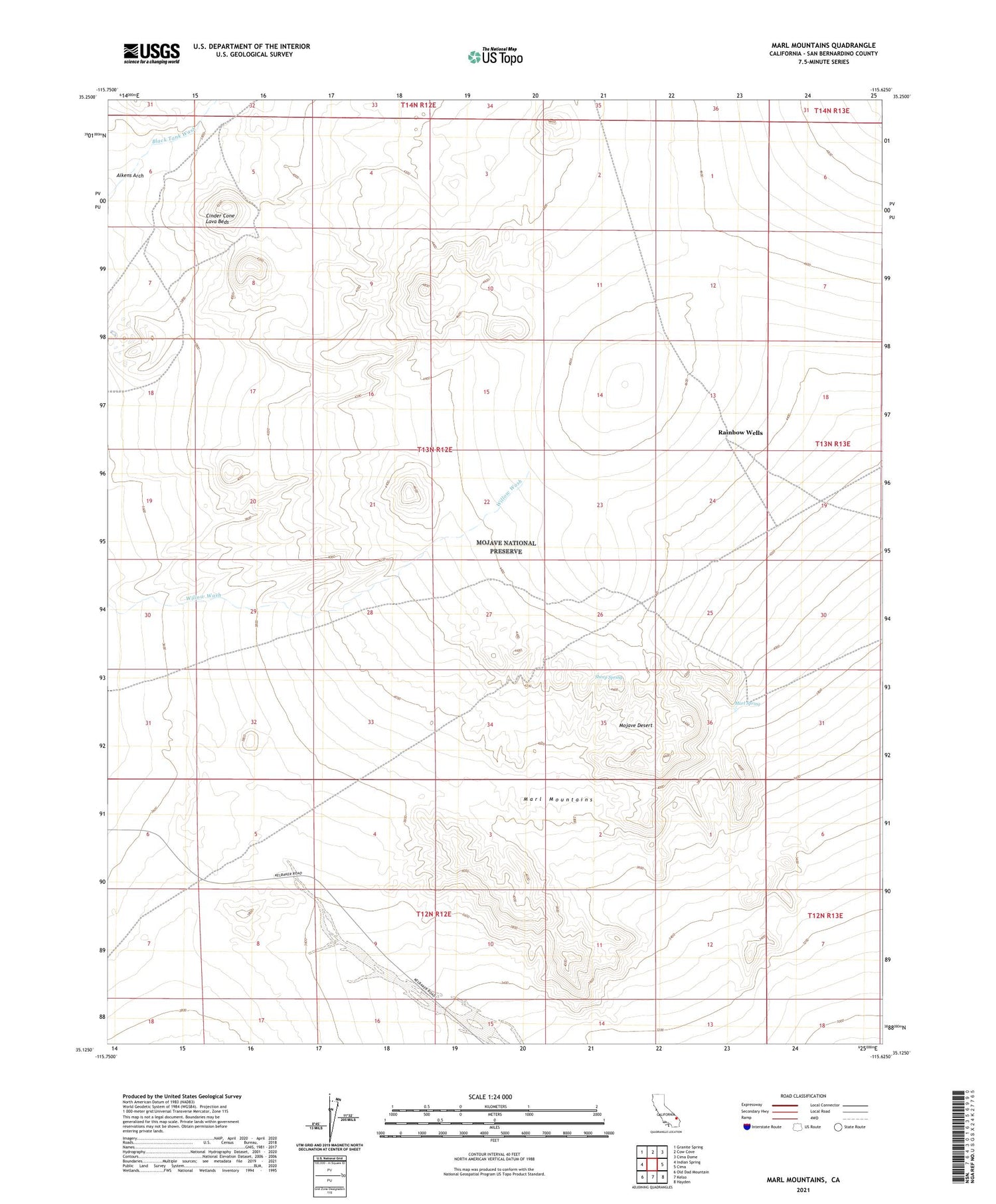
2021 topographic map quadrangle Marl Mountains in the state of California. Scale: 1:24000. Based on the newly updated USGS 7.5' US Topo map series, this map is in the following counties: San Bernardino. The map contains contour data, water features, and other items you are used to seeing on USGS maps, but also has updated roads and other features. This is the next generation of topographic maps. Printed on high-quality waterproof paper with UV fade-resistant inks.
Quads adjacent to this one:
West: Indian Spring
Northwest: Granite Spring
North: Cow Cove
Northeast: Cima Dome
East: Cima
Southeast: Hayden
South: Kelso
Southwest: Old Dad Mountain
This map covers the same area as the classic USGS quad with code o35115b6.
Contains the following named places: Aikens Arch, Marl Mountains, Marl Spring, Rainbow Wells, Sheep Spring, Tank Four