MyTopo
McCoy Wash California US Topo Map
Couldn't load pickup availability
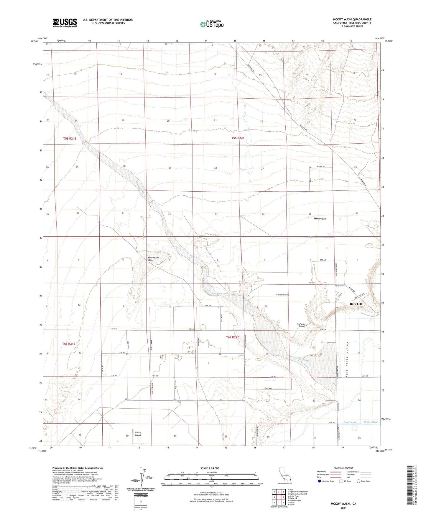
2021 topographic map quadrangle McCoy Wash in the state of California. Scale: 1:24000. Based on the newly updated USGS 7.5' US Topo map series, this map is in the following counties: Riverside. The map contains contour data, water features, and other items you are used to seeing on USGS maps, but also has updated roads and other features. This is the next generation of topographic maps. Printed on high-quality waterproof paper with UV fade-resistant inks.
Quads adjacent to this one:
West: McCoy Peak
Northwest: Inca
North: Big Maria Mountains SW
Northeast: Big Maria Mountains SE
East: Blythe NE
Southeast: Blythe
South: Ripley
Southwest: Roosevelt Mine
This map covers the same area as the classic USGS quad with code o33114f6.
Contains the following named places: Blythe Municipal Golf Course, McCoy Wash, Mesaville, Palo Verde College, Palo Verde Mesa, W R Byron Airport, ZIP Code: 92225