MyTopo
McKittrick Summit California US Topo Map
Couldn't load pickup availability
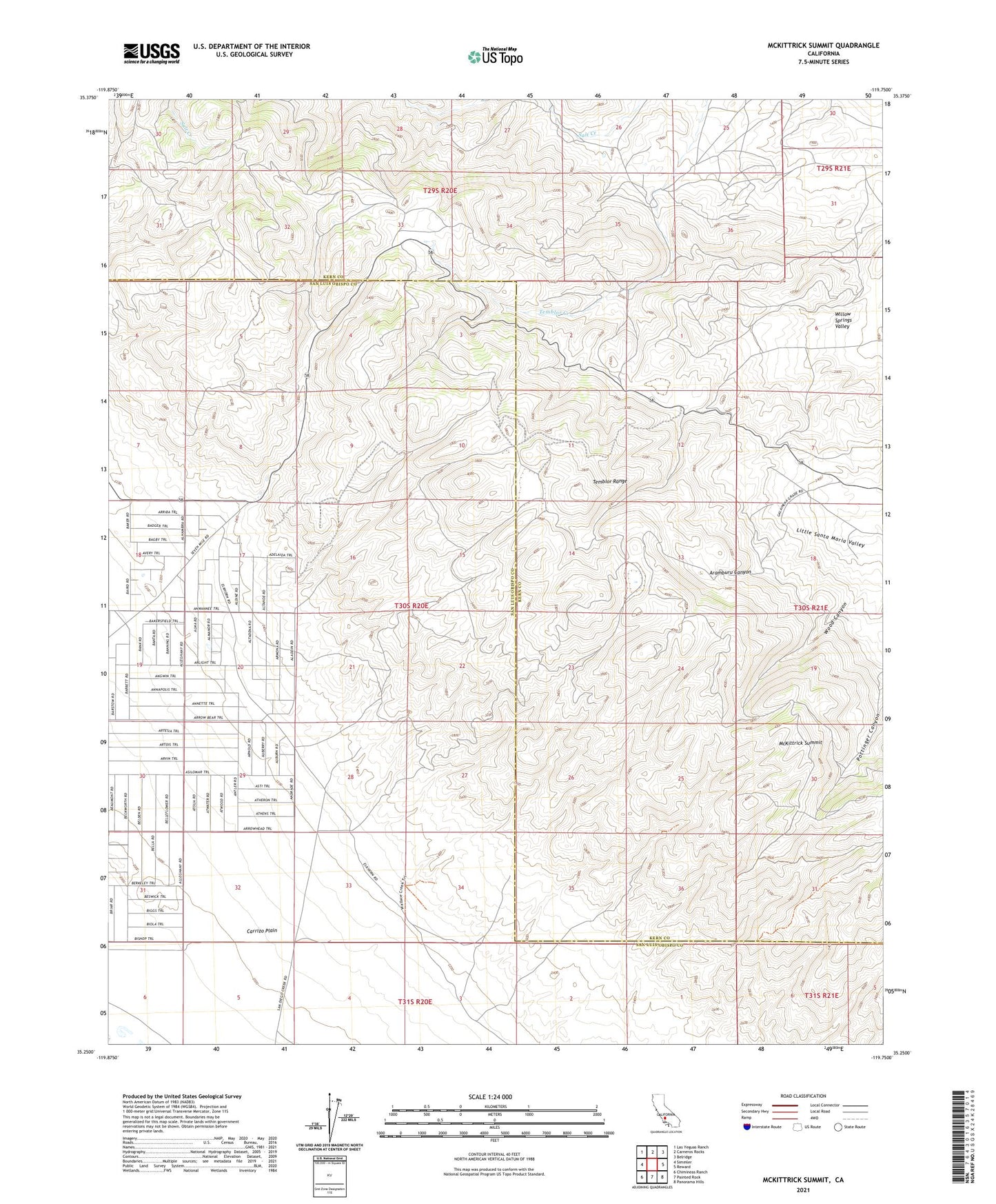
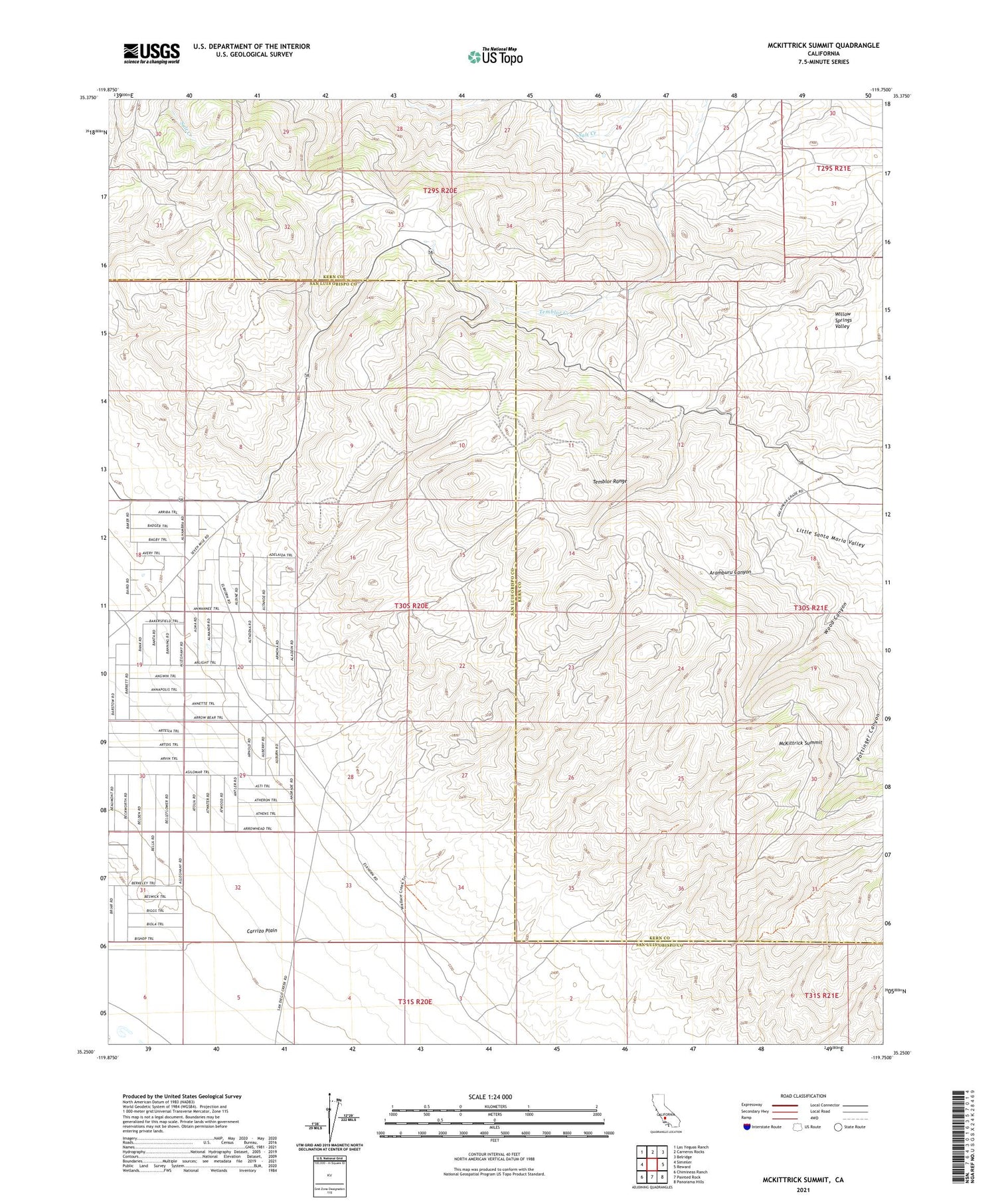
2021 topographic map quadrangle McKittrick Summit in the state of California. Scale: 1:24000. Based on the newly updated USGS 7.5' US Topo map series, this map is in the following counties: Kern, San Luis Obispo. The map contains contour data, water features, and other items you are used to seeing on USGS maps, but also has updated roads and other features. This is the next generation of topographic maps. Printed on high-quality waterproof paper with UV fade-resistant inks.
Quads adjacent to this one:
West: Simmler
Northwest: Las Yeguas Ranch
North: Carneros Rocks
Northeast: Belridge
East: Reward
Southeast: Panorama Hills
South: Painted Rock
Southwest: Chimineas Ranch
This map covers the same area as the classic USGS quad with code o35119c7.
Contains the following named places: Aramburu Canyon, Cauvel Ranch, Galainena Ranch, McKittrick Summit, San Diego Creek, Sandiego Joes, Temblor Ranch, Temblor Ranch Oil Field, Temblor Range, ZIP Code: 93251