MyTopo
Mercey Hot Springs California US Topo Map
Couldn't load pickup availability
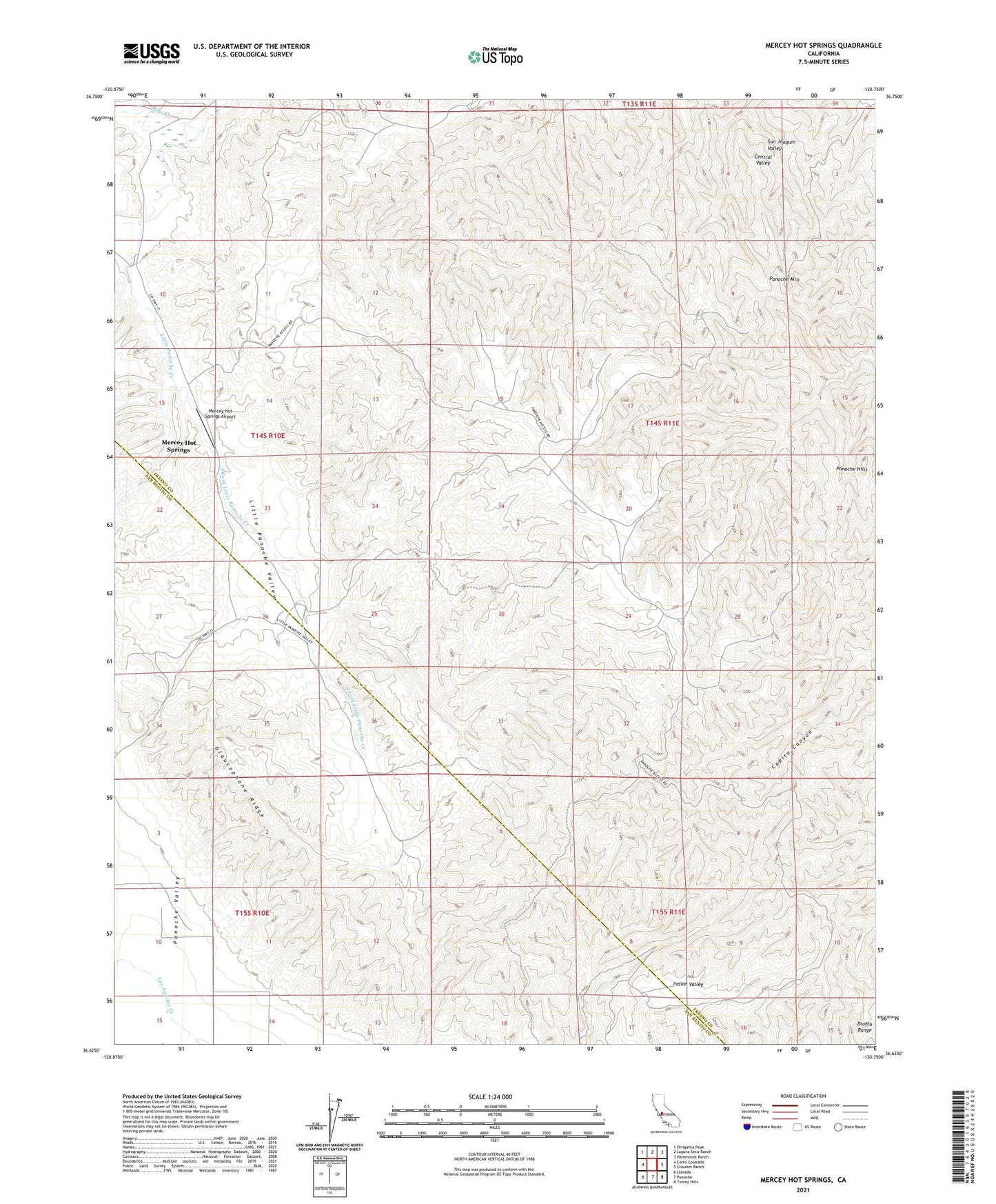
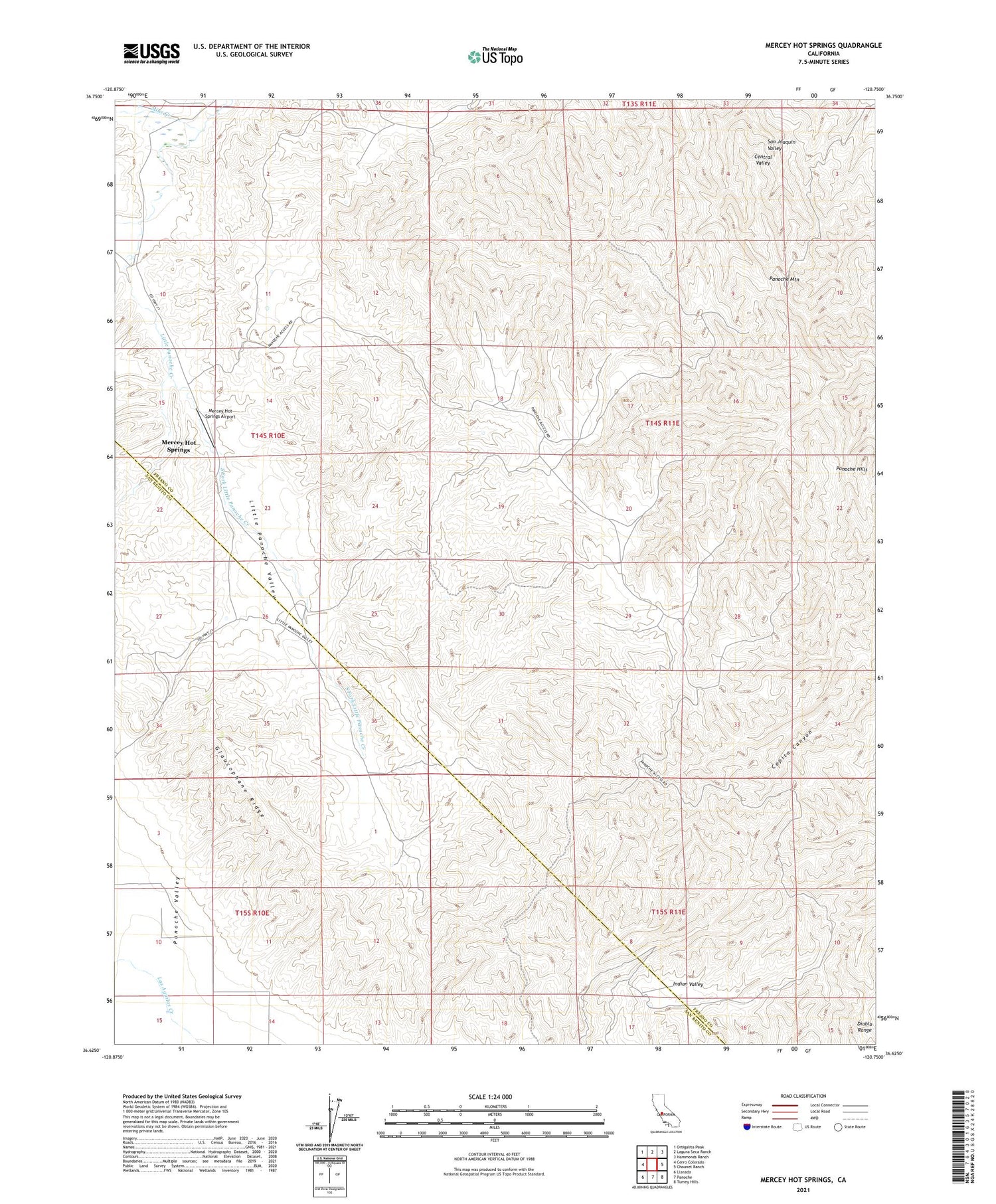
2021 topographic map quadrangle Mercey Hot Springs in the state of California. Scale: 1:24000. Based on the newly updated USGS 7.5' US Topo map series, this map is in the following counties: Fresno, San Benito. The map contains contour data, water features, and other items you are used to seeing on USGS maps, but also has updated roads and other features. This is the next generation of topographic maps. Printed on high-quality waterproof paper with UV fade-resistant inks.
Quads adjacent to this one:
West: Cerro Colorado
Northwest: Ortigalita Peak
North: Laguna Seca Ranch
Northeast: Hammonds Ranch
East: Chounet Ranch
Southeast: Tumey Hills
South: Panoche
Southwest: Llanada
This map covers the same area as the classic USGS quad with code o36120f7.
Contains the following named places: Glaucophane Ridge, Indian Valley, Mercey Creek, Mercey Hot Springs, Mercey Hot Springs Airport, Mine Creek, Panoche Hills Management Area, Panoche Mountain, South Fork Little Panoche Creek