MyTopo
Hammonds Ranch California US Topo Map
Couldn't load pickup availability
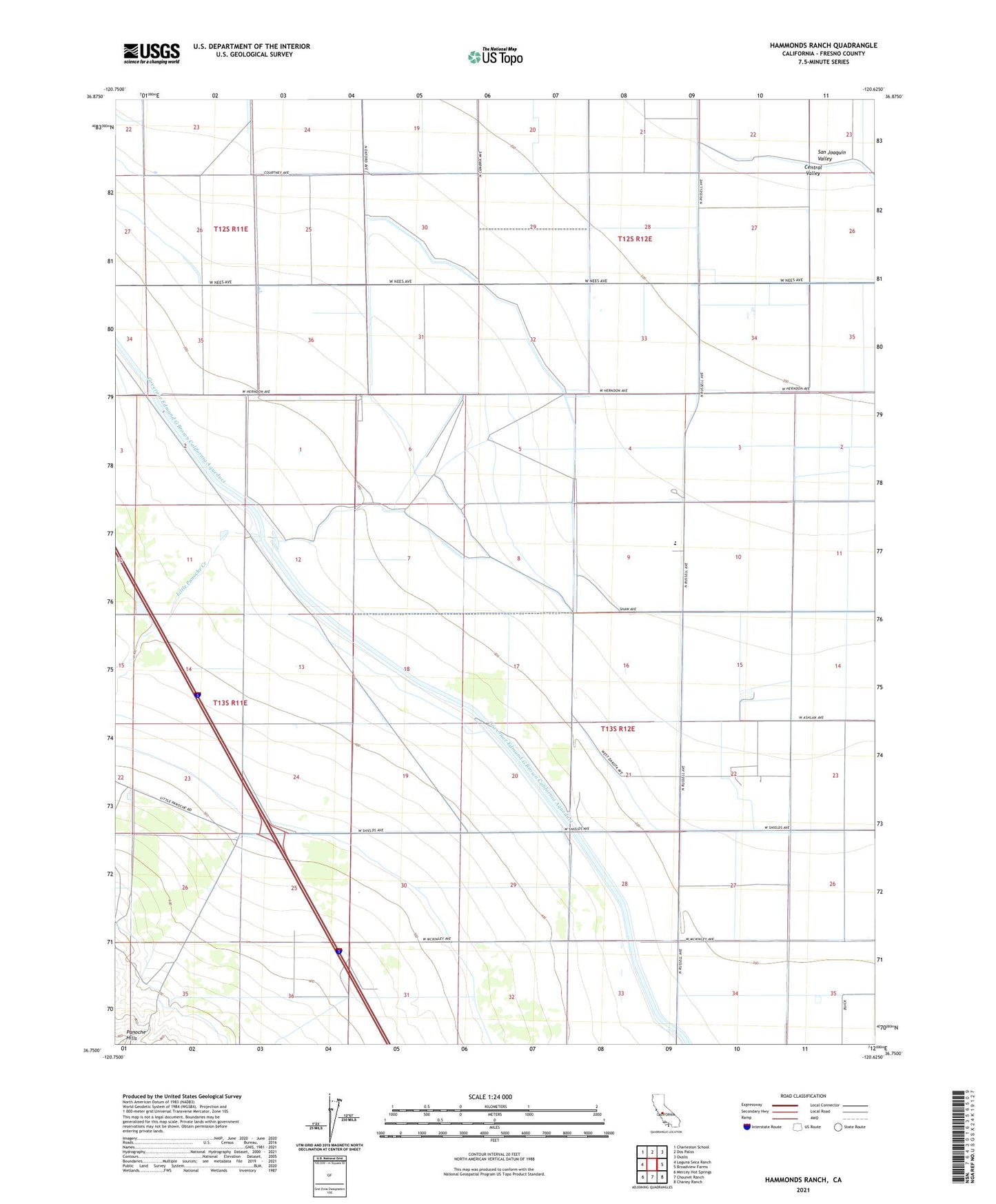
2021 topographic map quadrangle Hammonds Ranch in the state of California. Scale: 1:24000. Based on the newly updated USGS 7.5' US Topo map series, this map is in the following counties: Fresno. The map contains contour data, water features, and other items you are used to seeing on USGS maps, but also has updated roads and other features. This is the next generation of topographic maps. Printed on high-quality waterproof paper with UV fade-resistant inks.
Quads adjacent to this one:
West: Laguna Seca Ranch
Northwest: Charleston School
North: Dos Palos
Northeast: Oxalis
East: Broadview Farms
Southeast: Chaney Ranch
South: Chounet Ranch
Southwest: Mercey Hot Springs
This map covers the same area as the classic USGS quad with code o36120g6.
Contains the following named places: Hammonds Ranch, Little Panoche Creek, Oro Loma School