
MyTopo
Monterey OE N California US Topo Map
Couldn't load pickup availability
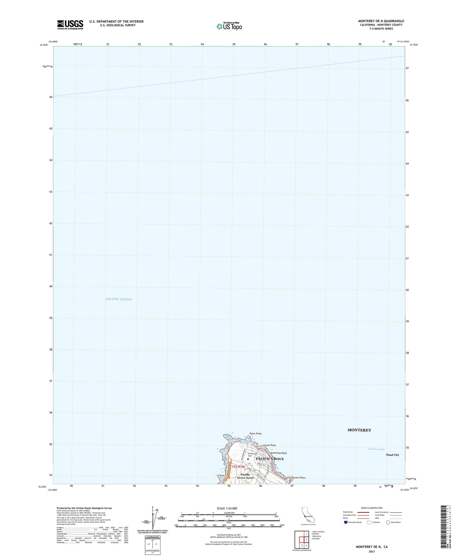
2021 topographic map quadrangle Monterey OE N in the state of California. Scale: 1:24000. Based on the newly updated USGS 7.5' US Topo map series, this map is in the following counties: Monterey. The map contains contour data, water features, and other items you are used to seeing on USGS maps, but also has updated roads and other features. This is the next generation of topographic maps. Printed on high-quality waterproof paper with UV fade-resistant inks.
Quads adjacent to this one:
Northeast: Moss Landing
East: Marina
Southeast: Seaside
South: Monterey
Contains the following named places: Aumentos Rock, Crespi Pond, El Carmelo Cemetery, Esplanade Park, Hays Perkins Park, Lighthouse Elementary School, Lovers Point, Lucas Point, Pacific Grove Acres, Pacific Grove Marine Gardens Fish Refuge, Pacific Grove Marine Gardens Park, Pacific Grove Municipal Golf Links, Point Pinos, Point Pinos Light Station, Point Pinos Lighthouse Reservation, Seaside-Monterey Division, Seventeen Mile Drive Elementary School, Seventeen Mile Drive Manor, Southern Pacific Station


