MyTopo
Mount Kaweah California US Topo Map
Couldn't load pickup availability
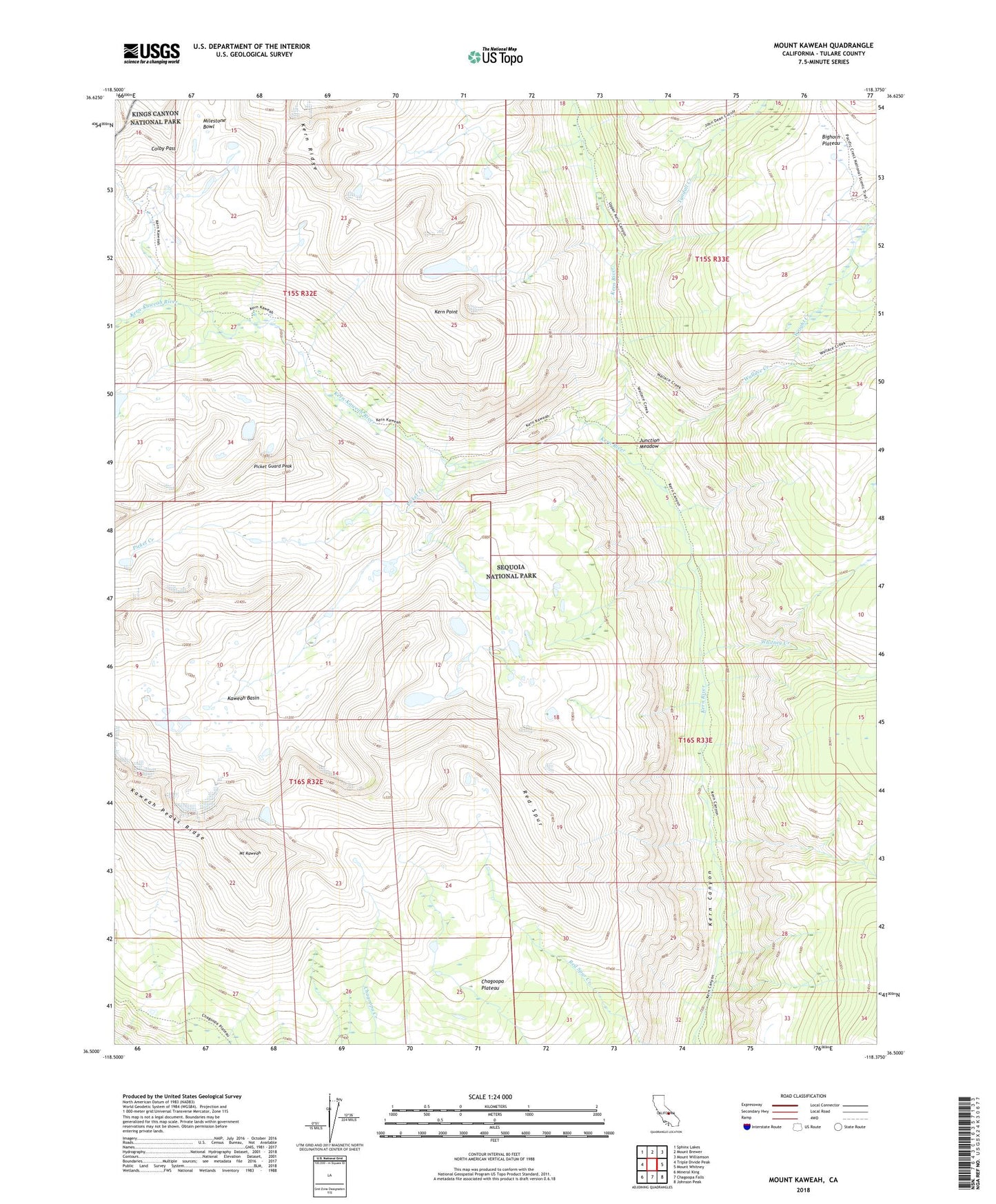
2022 topographic map quadrangle Mount Kaweah in the state of California. Scale: 1:24000. Based on the newly updated USGS 7.5' US Topo map series, this map is in the following counties: Tulare. The map contains contour data, water features, and other items you are used to seeing on USGS maps, but also has updated roads and other features. This is the next generation of topographic maps. Printed on high-quality waterproof paper with UV fade-resistant inks.
Quads adjacent to this one:
West: Triple Divide Peak
Northwest: Sphinx Lakes
North: Mount Brewer
Northeast: Mount Williamson
East: Mount Whitney
Southeast: Johnson Peak
South: Chagoopa Falls
Southwest: Mineral King
This map covers the same area as the classic USGS quad with code o36118e4.
Contains the following named places: Bighorn Plateau, Gallats Lake, Junction Meadow, Kaweah Basin, Kaweah Peaks Ridge, Kern Point, Kern-Kaweah River, Milestone Bowl, Mount Kaweah, Picket Creek, Picket Guard Peak, Red Spur, Rockslide Lake, Tyndall Creek, Wallace Creek, Whitney Creek, Wright Creek