MyTopo
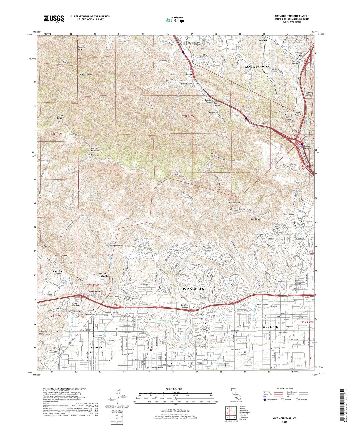
Oat Mountain California US Topo Map
Couldn't load pickup availability
2022 topographic map quadrangle Oat Mountain in the state of California. Scale: 1:24000. Based on the newly updated USGS 7.5' US Topo map series, this map is in the following counties: Los Angeles. The map contains contour data, water features, and other items you are used to seeing on USGS maps, but also has updated roads and other features. This is the next generation of topographic maps. Printed on high-quality waterproof paper with UV fade-resistant inks.
Quads adjacent to this one:
West: Simi Valley East
Northwest: Val Verde
North: Newhall
Northeast: Mint Canyon
East: San Fernando
Southeast: Van Nuys
South: Canoga Park
Southwest: Calabasas
This map covers the same area as the classic USGS quad with code o34118c5.
Contains the following named places: Aliso Canyon, Aliso Canyon Oil Field, Aliso Canyon Park, Andasol Elementary School, Balboa-Mission Shopping Center, Balboa-Mission Square Shopping Center, Beckford Elementary School, Bee Canyon, Blind Canyon, Brandeis Ranch, Browns Canyon, Browns Creek Park, Cascade Oil Field, Cascade Ranch, Castlebay Lane Elementary School, Chatsworth, Chatsworth Branch Los Angeles Public Library, Chatsworth Elementary School, Chatsworth High School, Chatsworth Hi-Line Aqueduct, Chatsworth Post Office, City of Los Angeles Fire Department Station 107, City of Los Angeles Fire Department Station 18, City of Los Angeles Fire Department Station 28, City of Los Angeles Fire Department Station 8, City of Los Angeles Fire Department Station 87, Darby Elementary School, Deer Lake Highlands, Devil Canyon, Devonshire Area Heliport, Devonshire Downs, Devonshire Golf Course, Devonshire-Reseda Shopping Center, East Canyon, Eddleston Park, El Oro Way Elementary School, Elayon, Elsmere Canyon, Falls Creek, Fern Ann Falls, First Presbyterian School, Fremont Pass, Garden of the Gods, Gavin Canyon, Germain Elementary School, Glenmore Ranch, Granada Elementary School, Granada Hills, Granada Hills Charter High School, Granada Hills Community Hospital, Granada Hills Post Office, Granada Village Shopping Center, Henry Middle School, Horse Flats, Iverson Ranch, John Elway Stadium, La Cima Ranch, Lawrence Middle School, Leaming Canyon, Limekiln Canyon, Limekiln Canyon Park, Lookout Gates, Los Angeles Police Department - Devonshire Station, Lyon Canyon, Marwyck Ranch, Mason Park, Mission Point, Monteria Lake, Mormon Canyon, Newhall Post Office, Newhall Tunnel, Nike Site LA-88C, Nike Site LA-88L, Nobel Middle School, North Hills Shopping Center, Northridge Recreation Center, Northridge Shopping Center, Oakwood Memorial Park, Oat Mountain, Omelveny Park, Pacific Tunnel, Palisades Park, Patrick Henry Middle School, Pico Oil Field, Porter Estate 775 Dam, Porter Ridge Park, Porter Valley Country Club, Ranch Post Office, Rice Canyon, Rinaldi Adult School Center, Robert Frost Middle School, Saint John Military Academy, San Fernando Pass, San Fernando Valley Academy, Sand Rock Peak, Santa Susana Mountains, Santa Susana Pass State Historic Park, Stoney Point Park, Stony Point, Sunshine Canyon Landfill, Towsley Canyon, Tunnel, Twin Lakes, Van Gogh Elementary School, Waltz, Weldon Canyon, Whitney Canyon, Wilbur Tampa Park, Wiley Canyon, Ybarra Canyon, ZIP Codes: 91311, 91326, 91344


