MyTopo
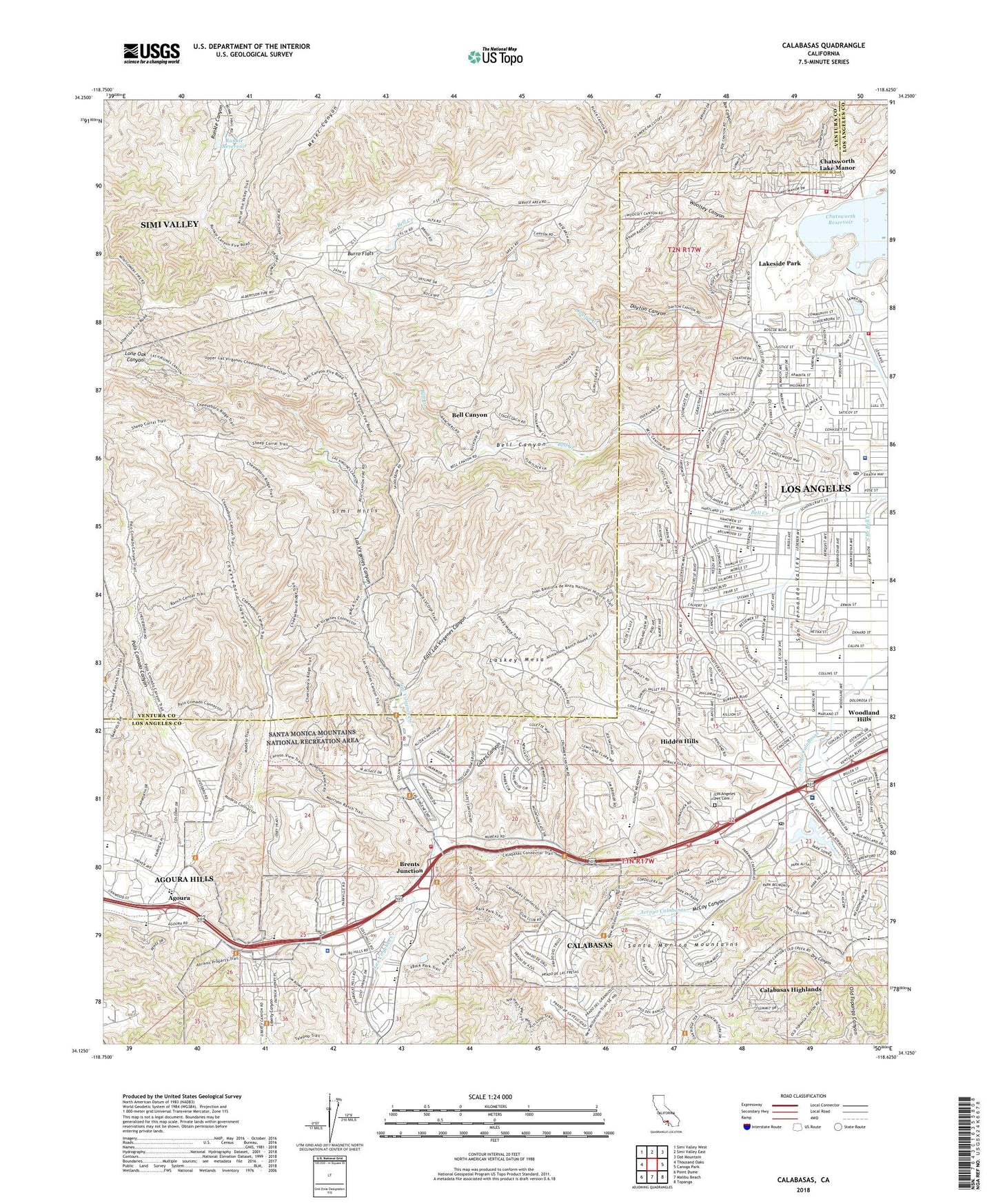
Calabasas California US Topo Map
Couldn't load pickup availability
2022 topographic map quadrangle Calabasas in the state of California. Scale: 1:24000. Based on the newly updated USGS 7.5' US Topo map series, this map is in the following counties: Los Angeles, Ventura. The map contains contour data, water features, and other items you are used to seeing on USGS maps, but also has updated roads and other features. This is the next generation of topographic maps. Printed on high-quality waterproof paper with UV fade-resistant inks.
Quads adjacent to this one:
West: Thousand Oaks
Northwest: Simi Valley West
North: Simi Valley East
Northeast: Oat Mountain
East: Canoga Park
Southeast: Topanga
South: Malibu Beach
Southwest: Point Dume
This map covers the same area as the classic USGS quad with code o34118b6.
Contains the following named places: A E Wright Middle School, Agoura, Agoura High School, Agoura Park, Bell Canyon, Bell Canyon Census Designated Place, Bell Canyon Park, Box Canyon, Box Canyon Fire Station, Brents Junction, Burro Flats, Cajon Valley Intermediate School, Calabasas, Calabasas Golf and Country Club, Calabasas Highlands, Calabasas Landfill, Calabasas Library Service Center, Calabasas Post Office, Calabasas School, Calabasas Tennis and Swim Club, Calabash Street Elementary School, Castle Peak Park, Chaminade High School, Chatsworth 6-004 Dam, Chatsworth Lake Manor, Chatsworth Oaks Park, Chatsworth Reservoir Park, Cheeseboro Canyon, City of Calabasas, City of Hidden Hills, City of Los Angeles Fire Department Station 106, Dayton Canyon, Dayton Creek, Dry Canyon, East Las Virgenes Canyon, El Camino Real High School, El Escorpio, El Escorpion Park, Fallbrook Mall Shopping Center, Gates Canyon, Gates Canyon Park, Gebil Ranch, Grape Arbor Park, Hale Middle School, Haynes Elementary School, Hidden Hills, Hidden Hills City Hall, Hughes-Canoga Park Heliport, Indian Hills Continuation High School, Justice Elementary School, Knapp Ranch Park, Lakeside Park, Las Virgenes Canyon, Las Virgenes County Administration Center, Laskey Mesa, Lazy J Ranch Park, Lees Lake, Liberty School, Lockhurst Elementary School, Los Angeles County Fire Department Station 125, Los Angeles County Fire Department Station 68, Los Angeles County Fire Department Station 75, Los Angeles Pet Cemetery, Lupin Hill Elementary School, Mae Boyar Recreation Center, Malibu - Lost Hills Station - Los Angeles County Sheriff's Department, McCoy Canyon, Motion Picture and Television Fund Hospital, Orcutt Ranch Horticultural Center Park, Palo Comado Canyon, Parkway Calabasas Shopping Center, Platt Ranch, Platt Village Shopping Center, Pomelo Elementary School, R I Santa Susana Helistop, Rancho Sombra Del Roble, Runkle 86-003 Dam, Runkle Reservoir, Saint Bernardine's Catholic School, Simi Hills, Station 125 Heliport, Taxco Trails Park, Valley Circle Park, Welby Elementary School, West Hills Hospital and Medical Center, West Hills Post Office, West Hills Recreation Center, Woodlake Avenue Elementary School, Woolsey Canyon, ZIP Codes: 91304, 91307, 93064


