MyTopo
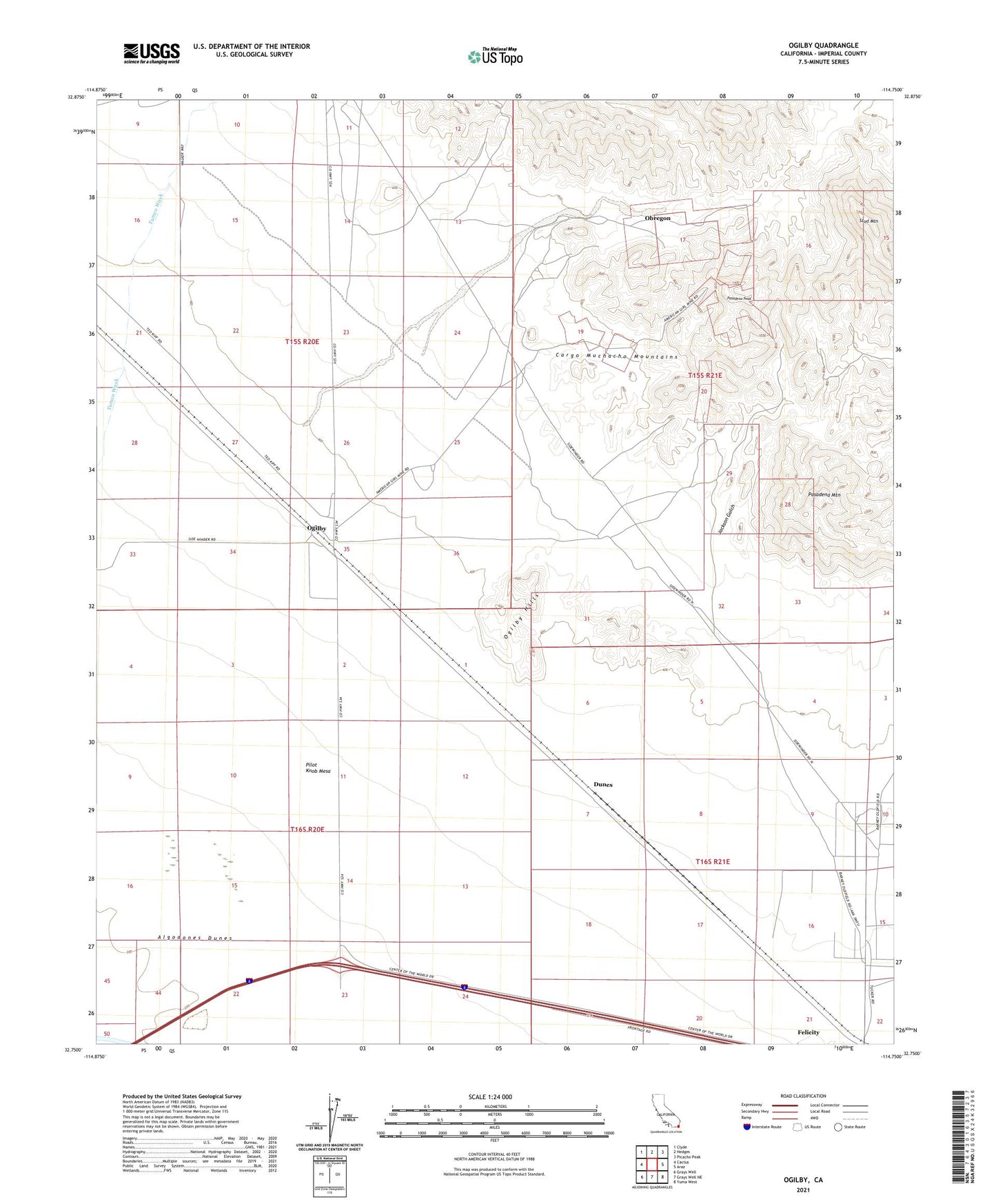
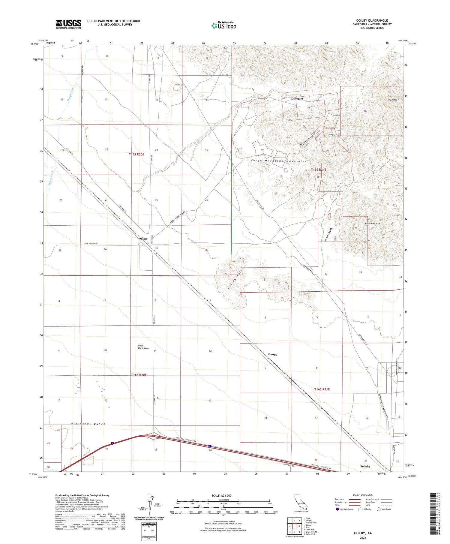
Ogilby California US Topo Map
Couldn't load pickup availability
2021 topographic map quadrangle Ogilby in the state of California. Scale: 1:24000. Based on the newly updated USGS 7.5' US Topo map series, this map is in the following counties: Imperial. The map contains contour data, water features, and other items you are used to seeing on USGS maps, but also has updated roads and other features. This is the next generation of topographic maps. Printed on high-quality waterproof paper with UV fade-resistant inks.
Quads adjacent to this one:
West: Cactus
Northwest: Clyde
North: Hedges
Northeast: Picacho Peak
East: Araz
Southeast: Yuma West
South: Grays Well NE
Southwest: Grays Well
This map covers the same area as the classic USGS quad with code o32114g7.
Contains the following named places: American Girl Mine, American Girl Wash, Cargo Mine, Dunes, Felicity, Felicity Post Office, Guadalupe Mine, Jackson Gulch, Obregon, Occidental Mine, Ogilby, Ogilby Hills, Padre Madre Mine, Pasadena Mine, Pasadena Mountain, Pasadena Peak, Stud Mountain