MyTopo
Picacho SW California US Topo Map
Couldn't load pickup availability
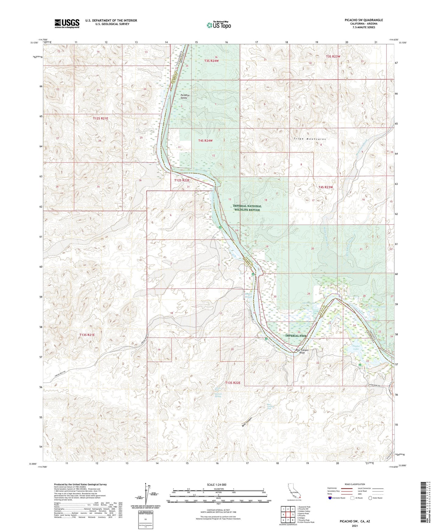
2021 topographic map quadrangle Picacho SW in the states of California, Arizona. Scale: 1:24000. Based on the newly updated USGS 7.5' US Topo map series, this map is in the following counties: Imperial, La Paz. The map contains contour data, water features, and other items you are used to seeing on USGS maps, but also has updated roads and other features. This is the next generation of topographic maps. Printed on high-quality waterproof paper with UV fade-resistant inks.
Quads adjacent to this one:
West: Quartz Peak
Northwest: Buzzards Peak
North: Picacho NW
Northeast: Hidden Valley
East: Picacho
Southeast: Little Picacho Peak
South: Picacho Peak
Southwest: Hedges
This map covers the same area as the classic USGS quad with code o33114a6.
Contains the following named places: Adobe Lake, Bear Canyon, Bear Canyon Bluff, Bear Canyon Falls, Bear Canyon Tank, Black Rock Wash, Carrizo Falls, Carrizo Spring, Carrizo Wash, Carrizo Wash Boat-in Camp, Cowbell Lake, Four-S Ranch, Gatuna Wash, Gavilan Wash, Hoge Ferry, Hoge Ranch, Imperial National Wildlife Refuge, Julian Wash, Nommel Place, Nortons Lake, Nortons Landing, Paddlewheeler Boat-in Camp, Para Wash, Paradise Valley, Picacho Peak Wilderness, Picacho State Recreation Area, Red Cloud Wash, Regan Slough, Taylor Lake, Taylor Lake Boat-in Camp, Taylor Lake Overlook, Velian Wash, White Wash