
MyTopo
Redondo Beach OE S California US Topo Map
Couldn't load pickup availability
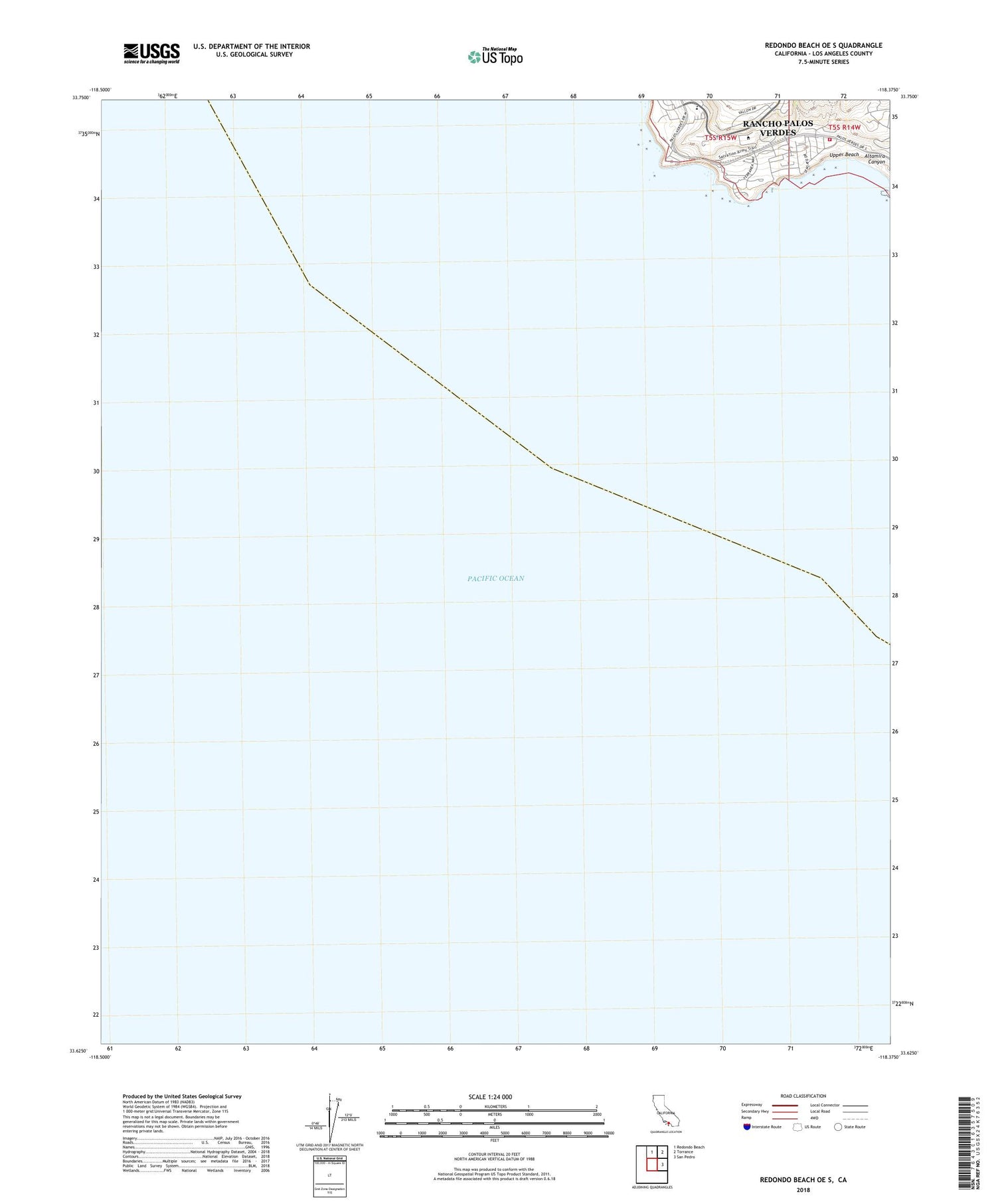
2022 topographic map quadrangle Redondo Beach OE S in the state of California. Scale: 1:24000. Based on the newly updated USGS 7.5' US Topo map series, this map is in the following counties: Los Angeles. The map contains contour data, water features, and other items you are used to seeing on USGS maps, but also has updated roads and other features. This is the next generation of topographic maps. Printed on high-quality waterproof paper with UV fade-resistant inks.
Quads adjacent to this one:
North: Redondo Beach
Northeast: Torrance
East: San Pedro
Contains the following named places: Abalone Cove, Abalone Cove Ecological Reserve, Altamira Canyon, City of Rancho Palos Verdes, Golden Cove Shopping Center, Long Point, Long Point Heliport, Los Angeles County Fire Department - Station 53, Marineland, Nike Site LA-55L, Point Vicente, Point Vicente County Park, Point Vicente Fishing Access, Point Vicente Lighthouse, Point Vicente Park, Portuguese Bend Riding Club, Rancho Palos Verdes, Upper Beach, Wayfarers Chapel


