MyTopo
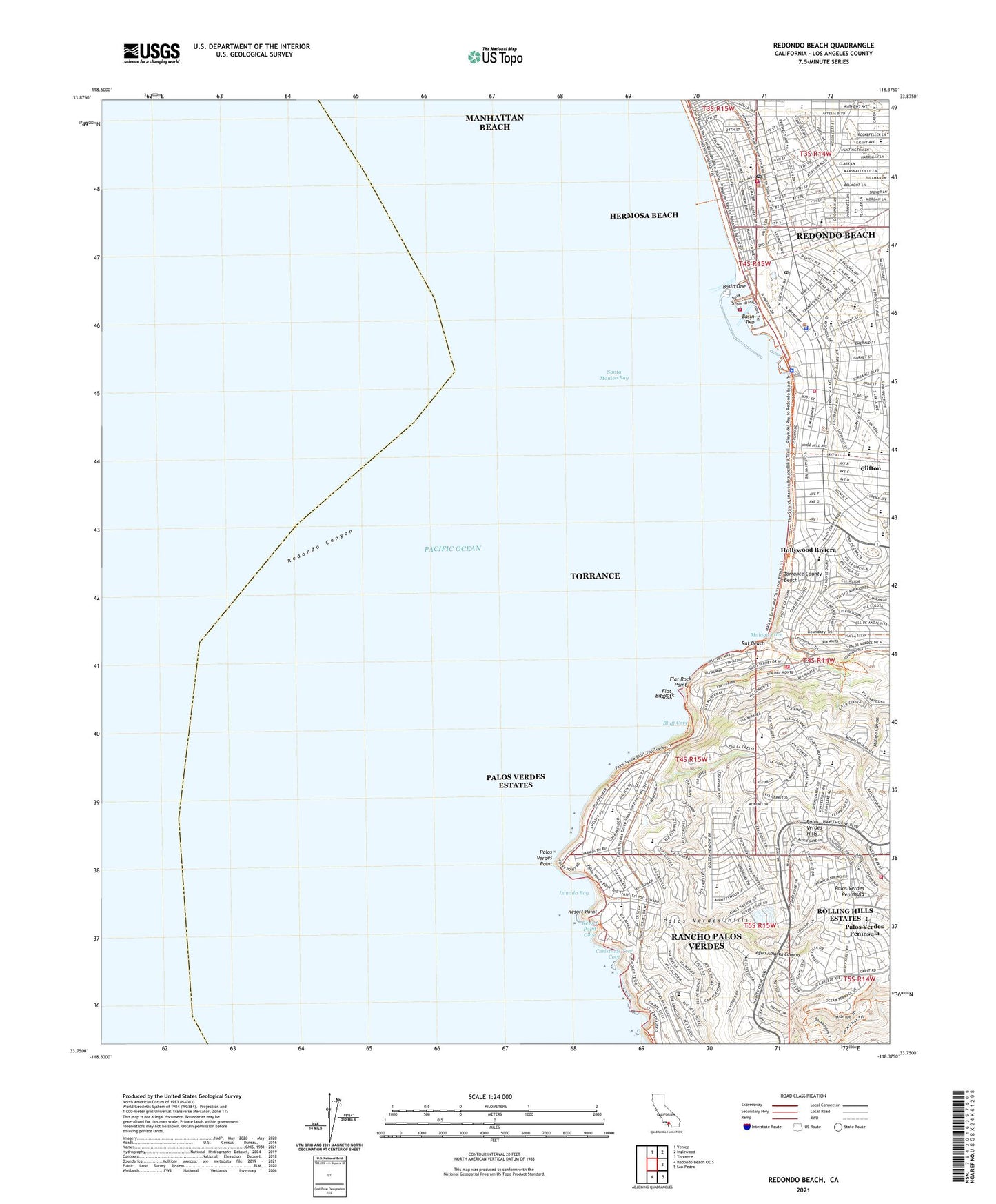
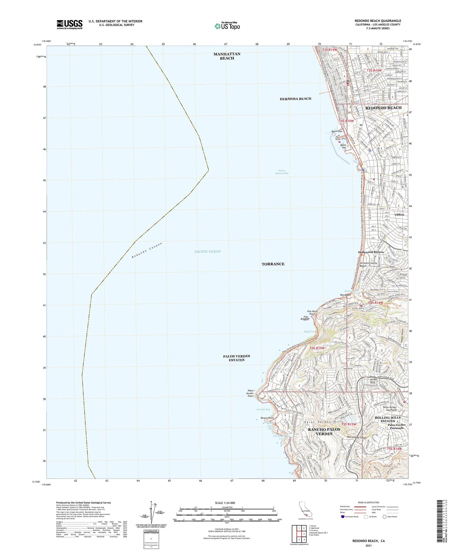
Redondo Beach California US Topo Map
Couldn't load pickup availability
2021 topographic map quadrangle Redondo Beach in the state of California. Scale: 1:24000. Based on the newly updated USGS 7.5' US Topo map series, this map is in the following counties: Los Angeles. The map contains contour data, water features, and other items you are used to seeing on USGS maps, but also has updated roads and other features. This is the next generation of topographic maps. Printed on high-quality waterproof paper with UV fade-resistant inks.
Quads adjacent to this one:
North: Venice
Northeast: Inglewood
East: Torrance
Southeast: San Pedro
South: Redondo Beach OE S
This map covers the same area as the classic USGS quad with code o33118f4.
Contains the following named places: Agua Amarga Canyon, Alta Vista Elementary School, Alta Vista Park, Andrews School, Basin One, Basin Two, Bay Shore Sanitarium, Belfo Park, Berean Tabernacle, Beryl Heights Elementary School, Birney Elementary School, Bit Rock, Bluff Cove, Christ Episcopal Church, Christmas Tree Cove, Church of Christ, Church of the Nazarene, City of Hermosa Beach, City of Palos Verdes Estates, City of Redondo Beach, Cleveland Elementary School, Clifton, Community Baptist Church, Coronel Plaza, Cypress Park, Dominquez Park, El Retiro Branch Torrance Public Library, El Retiro Park, First Baptist Church, First Church of Christ Scientist, First Congregational Church, First United Methodist Church, Flat Rock, Flat Rock Point, Hermosa Beach, Hermosa Beach Branch County of Los Angeles Public Library, Hermosa Beach City Hall, Hermosa Beach Municipal Pier, Hermosa Beach Pavilion Shopping Center, Hermosa Beach Police Department, Hermosa Beach Post Office, Hermosa City Beach, Hermosa Gospel Tabernacle Assembly of God Church, Hermosa School, Hermosa Valley School, Hesse Park, High Ridge Park, Hillcrest School, Hollywood Riviera, Jefferson Elementary School, King Harbor, King Harbor Marina, Loreto Plaza Shopping Center, Los Angeles County Fire Department Palos Verdes Estates Station 2, Los Angeles County Fire Department Station 100, Los Angeles County Fire Department Station 106, Los Verdes Golf Course, Los Verdes Park, Lunada Bay, Lunada Bay Elementary School, Malaga Canyon, Malaga Cove, Malaga Cove Library, Malaga Cove Plaza Shopping Center, Malaga Cove School, Margate School, McCandless School, Mira Costa High School, Miramar Park, Monstad Pier, Montemalaga Elementary School, Neighborhood Church, North School, Northrop Palos Verdes Heliport, Ocean View School, Our Lady of Guadalupe Roman Catholic Church, Pacific View Hospital, Palos Verdes Estates, Palos Verdes Estates City Hall, Palos Verdes Estates Police Department, Palos Verdes Estates Post Office, Palos Verdes Estates Shoreline Preserve, Palos Verdes Intermediate School, Palos Verdes Peninsula, Palos Verdes Point, Parkway School, Pedregal School, Peninsula Shopping Center, Pier Ave School, Plaza Andres, Plaza Blanca, Point Vicente Elementary School, Prospect Heights School, Rat Beach, Redondo Beach, Redondo Beach City Hall, Redondo Beach Fire Department Station 1 Headquarters, Redondo Beach Municipal Pier, Redondo Beach Original Townsite Historic District, Redondo Beach Police Department, Redondo Beach Police Department - Investigations, Redondo Beach Police Department - Pier Substation, Redondo Beach Post Office, Redondo Beach Public Library, Redondo Generating Station, Redondo Union High School, Resort Point, Resort Point Cove, Riviera Methodist Church, Rodaway Park, Roessler Memorial Swimming Pool, Saint Cross Episcopal Church, Saint James Parochial School, Salt Pond, Sea Hawk Stadium, Seventh Day Adventist Church, Silver Spur Elementary School, Silver Spur School, South Bay Christian Church, South Bay Cities Division, South Bay Hospital, South Bay Hospital Heliport, South School, The Pier Shopping Center, Torrance County Beach, Towers Elementary School, Tulita Elementary School, Valley Park, Veterans Park, Vincent Park, Vista Grande Elementary School, ZIP Codes: 90254, 90277


