MyTopo
Saxon California US Topo Map
Couldn't load pickup availability
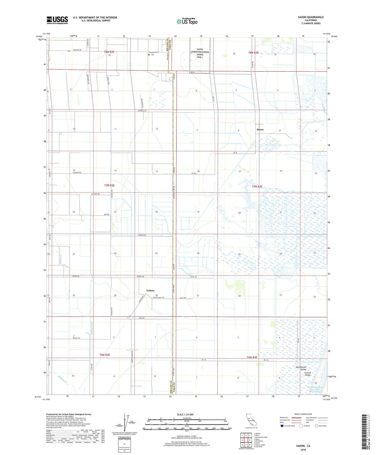
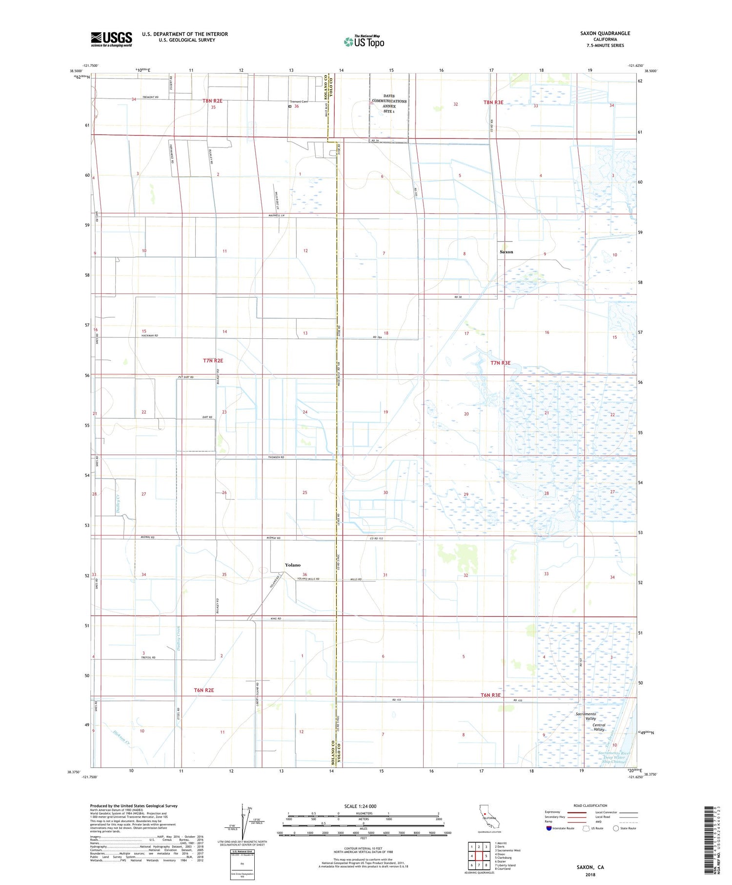
2022 topographic map quadrangle Saxon in the state of California. Scale: 1:24000. Based on the newly updated USGS 7.5' US Topo map series, this map is in the following counties: Solano, Yolo. The map contains contour data, water features, and other items you are used to seeing on USGS maps, but also has updated roads and other features. This is the next generation of topographic maps. Printed on high-quality waterproof paper with UV fade-resistant inks.
Quads adjacent to this one:
West: Dixon
Northwest: Merritt
North: Davis
Northeast: Sacramento West
East: Clarksburg
Southeast: Courtland
South: Liberty Island
Southwest: Dozier
This map covers the same area as the classic USGS quad with code o38121d6.
Contains the following named places: Bulkley Ranch, Dana Ranch, Dudley Creek, Glide Ranch, Libfarm, M K Ranch, Maxwell Ranch, Millar, Saxon, Tremont Cemetery, Tremont Hall, Vaughn Ranch, West Levee, Yolano