MyTopo
Spangler Hills West California US Topo Map
Couldn't load pickup availability
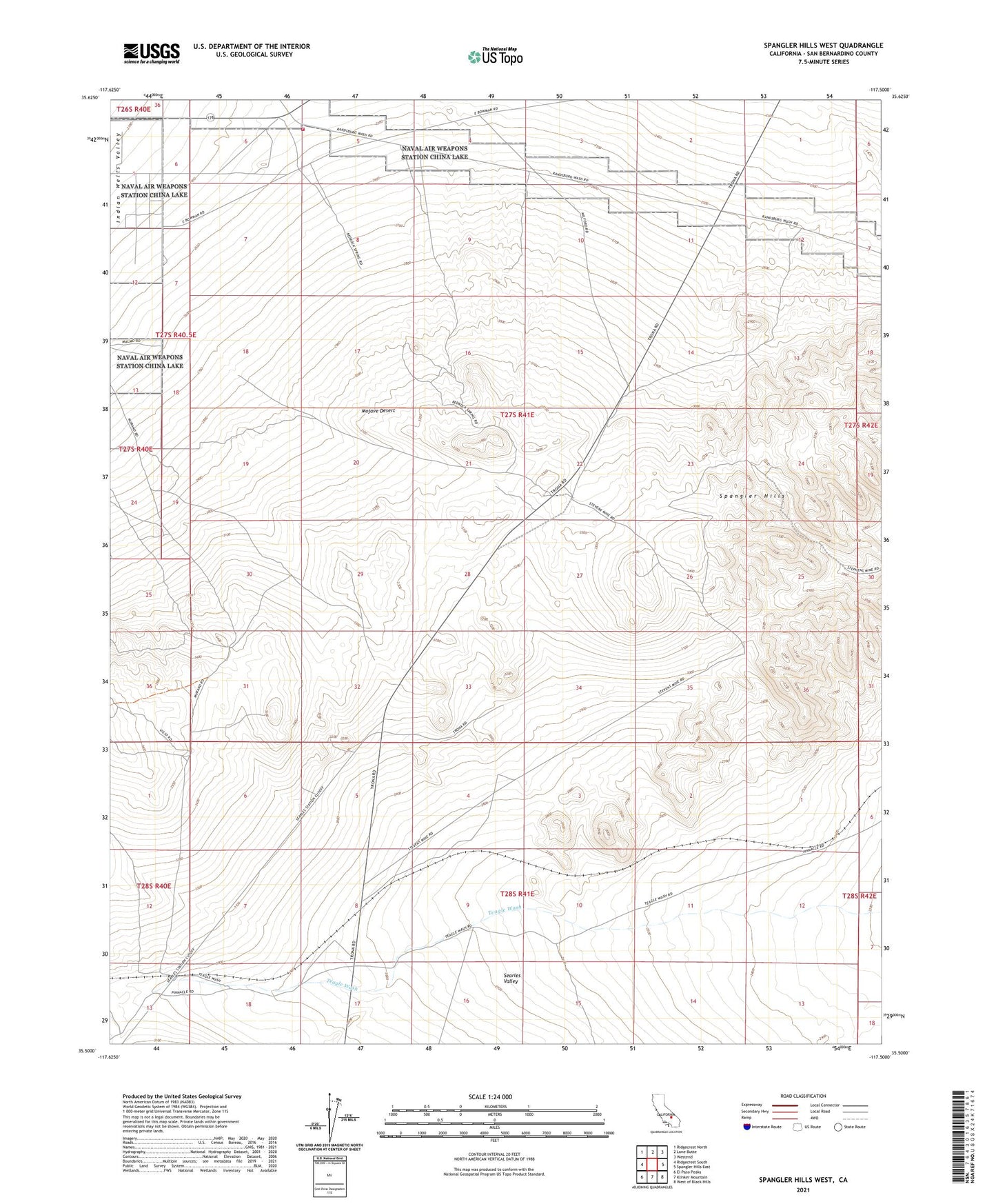
2021 topographic map quadrangle Spangler Hills West in the state of California. Scale: 1:24000. Based on the newly updated USGS 7.5' US Topo map series, this map is in the following counties: San Bernardino. The map contains contour data, water features, and other items you are used to seeing on USGS maps, but also has updated roads and other features. This is the next generation of topographic maps. Printed on high-quality waterproof paper with UV fade-resistant inks.
Quads adjacent to this one:
West: Ridgecrest South
Northwest: Ridgecrest North
North: Lone Butte
Northeast: Westend
East: Spangler Hills East
Southeast: West of Black Hills
South: Klinker Mountain
Southwest: El Paso Peaks
This map covers the same area as the classic USGS quad with code o35117e5.
Contains the following named places: Bureau of Land Management - Salt Wells Fire Station, Saint Elmo Mines, Spangler Hills, Stephens Holding Mines