MyTopo
Tent Hills California US Topo Map
Couldn't load pickup availability
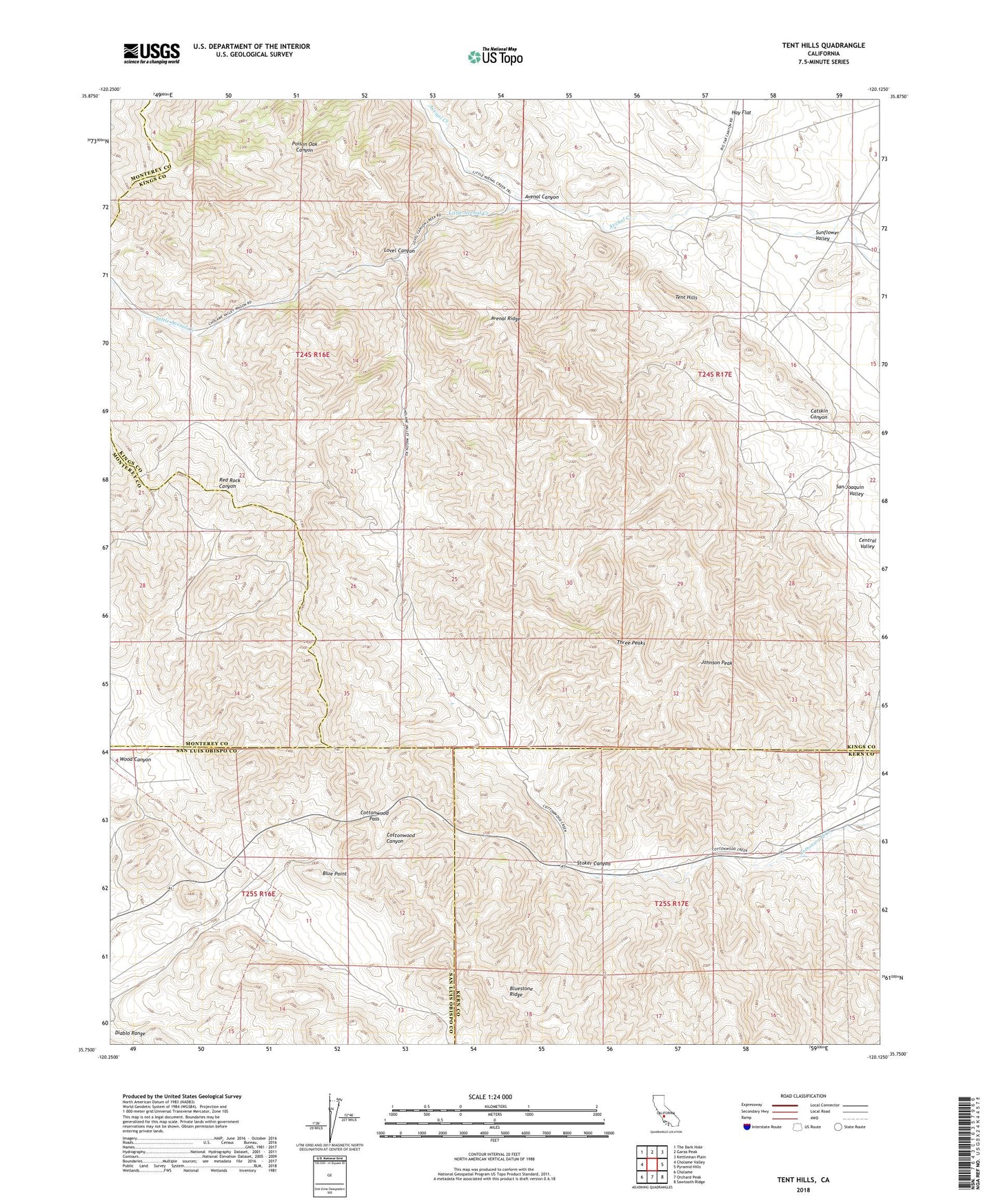
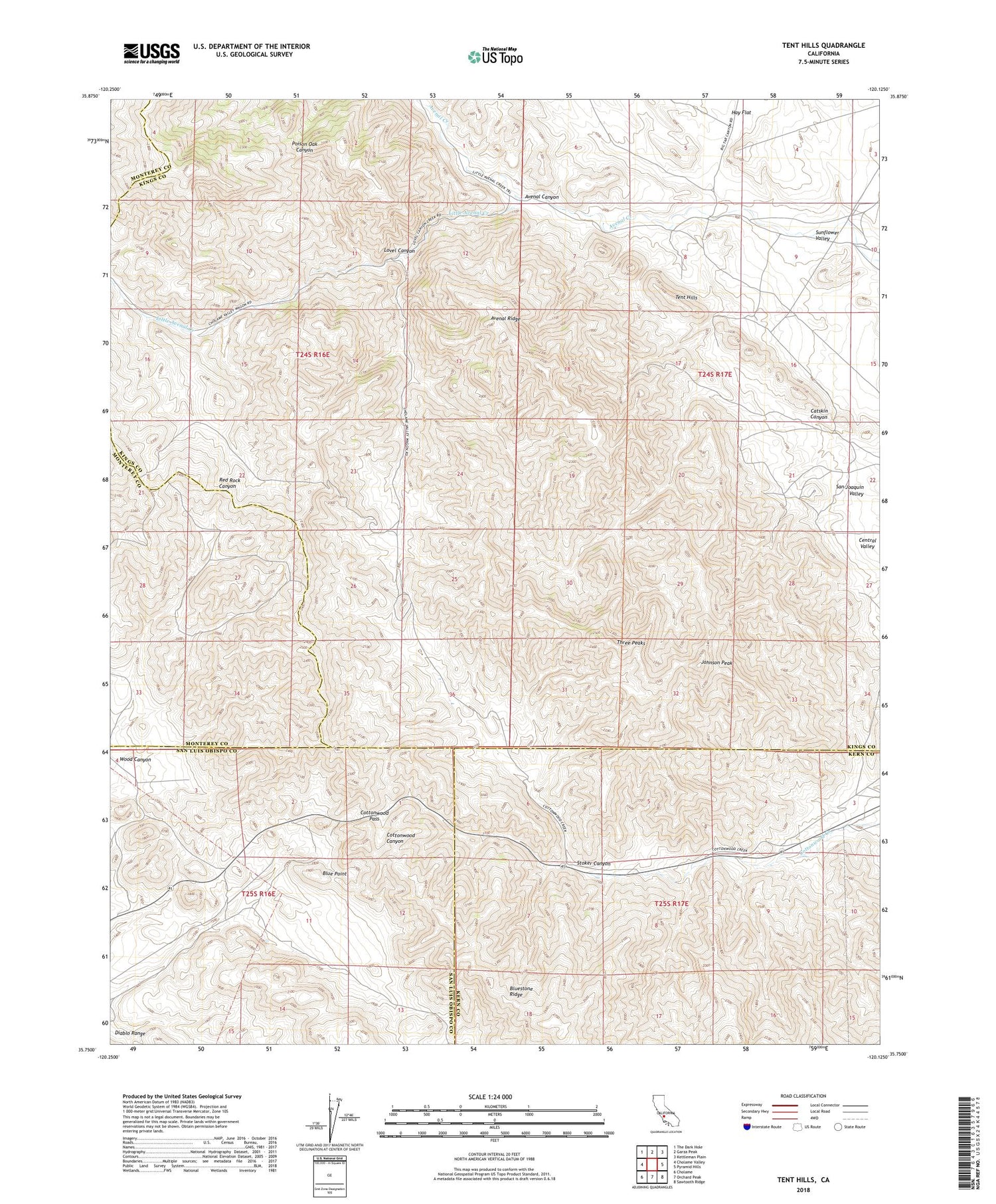
2021 topographic map quadrangle Tent Hills in the state of California. Scale: 1:24000. Based on the newly updated USGS 7.5' US Topo map series, this map is in the following counties: Kings, Kern, San Luis Obispo, Monterey. The map contains contour data, water features, and other items you are used to seeing on USGS maps, but also has updated roads and other features. This is the next generation of topographic maps. Printed on high-quality waterproof paper with UV fade-resistant inks.
Quads adjacent to this one:
West: Cholame Valley
Northwest: The Dark Hole
North: Garza Peak
Northeast: Kettleman Plain
East: Pyramid Hills
Southeast: Sawtooth Ridge
South: Orchard Peak
Southwest: Cholame
This map covers the same area as the classic USGS quad with code o35120g2.
Contains the following named places: Acebedo, Acebedo Ranch, Avenal Canyon, Avenal Ridge, Blue Point, Catskin Canyon, Cottonwood Pass, Fahey Ranch, Iron Spring Ranch, Johnson Peak, Little Avenal Creek, Lovel Canyon, Stoker Canyon, Tent Hills, Three Peaks, Wood Canyon