MyTopo
Upper Centennial Flat California US Topo Map
Couldn't load pickup availability
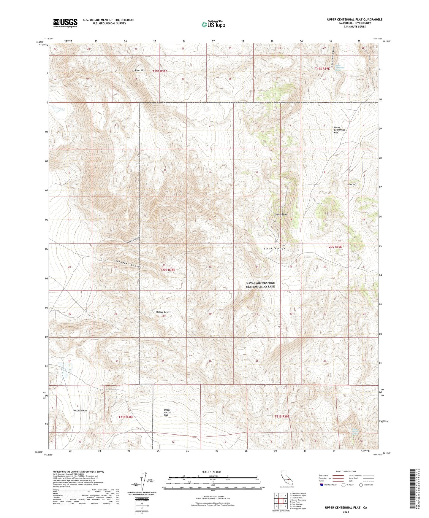
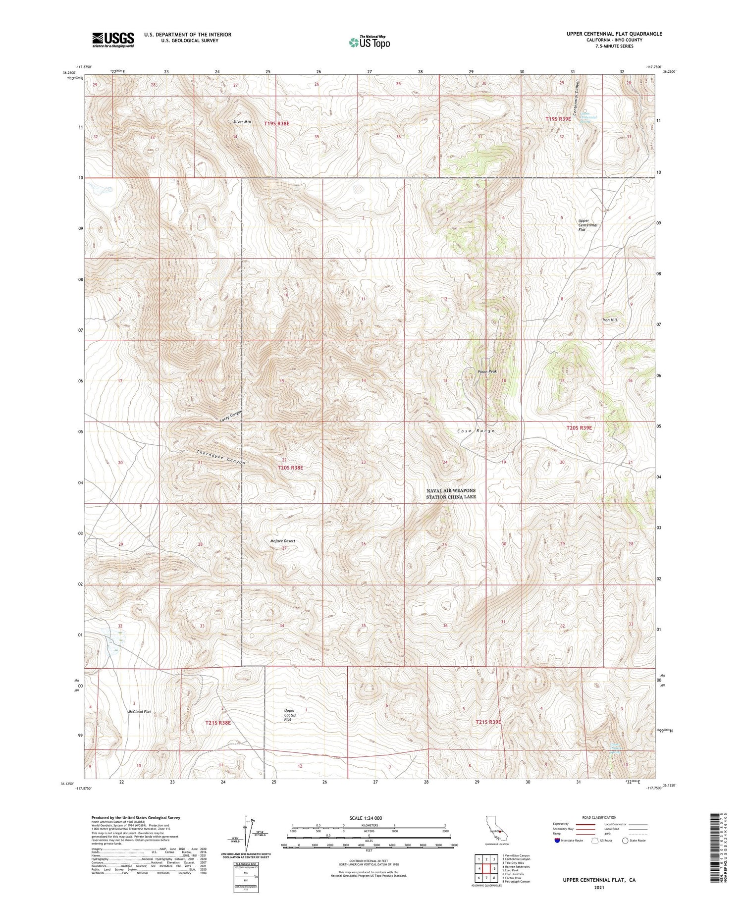
2021 topographic map quadrangle Upper Centennial Flat in the state of California. Scale: 1:24000. Based on the newly updated USGS 7.5' US Topo map series, this map is in the following counties: Inyo. The map contains contour data, water features, and other items you are used to seeing on USGS maps, but also has updated roads and other features. This is the next generation of topographic maps. Printed on high-quality waterproof paper with UV fade-resistant inks.
Quads adjacent to this one:
West: Haiwee Reservoirs
Northwest: Vermillion Canyon
North: Centennial Canyon
Northeast: Talc City Hills
East: Coso Peak
Southeast: Petroglyph Canyon
South: Cactus Peak
Southwest: Coso Junction
This map covers the same area as the classic USGS quad with code o36117b7.
Contains the following named places: Coso Range, Iron Hill, Lacey Canyon, McCloud Flat, Pinon Peak, Silver Mountain, Thorndyke Canyon, Thorndyke Mine, Upper Centennial Flat, Upper Centennial Spring, Upper Haiwee Spring, West Tunnel