MyTopo
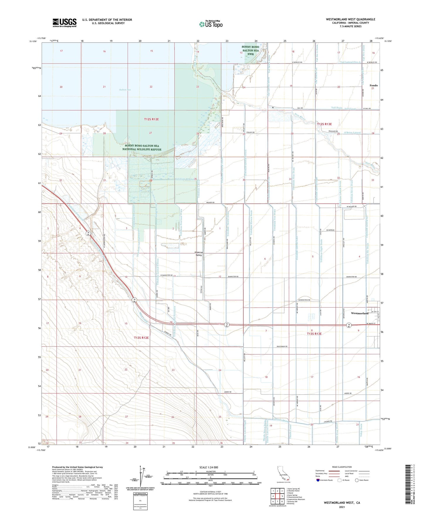
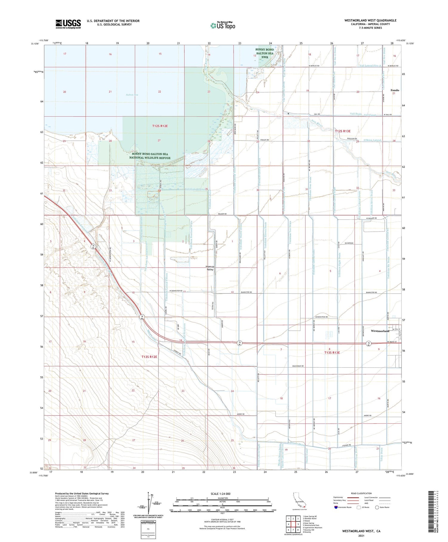
Westmorland West California US Topo Map
Couldn't load pickup availability
2021 topographic map quadrangle Westmorland West in the state of California. Scale: 1:24000. Based on the newly updated USGS 7.5' US Topo map series, this map is in the following counties: Imperial. The map contains contour data, water features, and other items you are used to seeing on USGS maps, but also has updated roads and other features. This is the next generation of topographic maps. Printed on high-quality waterproof paper with UV fade-resistant inks.
Quads adjacent to this one:
West: Kane Spring
Northwest: Kane Spring NE
North: Obsidian Butte
Northeast: Niland
East: Westmorland East
Southeast: Brawley
South: Brawley NW
Southwest: Superstition Mountain
This map covers the same area as the classic USGS quad with code o33115a6.
Contains the following named places: Benson Landing, Heise Service Station, O'Brien Lateral, Thompson Drain, Trifolium Drain 2, Trifolium Drain One, Trifolium Eight Drain, Trifolium Eleven Drain, Trifolium Fifteen Drain, Trifolium Fourteen Drain, Trifolium Lateral, Trifolium Lateral Eight, Trifolium Lateral Eleven, Trifolium Lateral Fifteen, Trifolium Lateral Fourteen, Trifolium Lateral Nine, Trifolium Lateral Seven, Trifolium Lateral Six, Trifolium Lateral Sixteen, Trifolium Lateral Ten, Trifolium Lateral Twelve, Trifolium Nine Drain, Trifolium School, Trifolium Seven Drain, Trifolium Six Drain, Trifolium Storm Drain, Trifolium Ten Drain, Trifolium Twelve Drain, Vail Canal, Vail Five Drain, Vail Ranch, Vail Seven Drain, Vail Six-A Drain