MyTopo
Brawley California US Topo Map
Couldn't load pickup availability
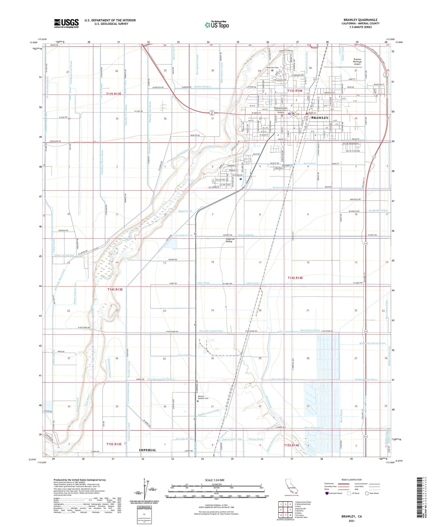
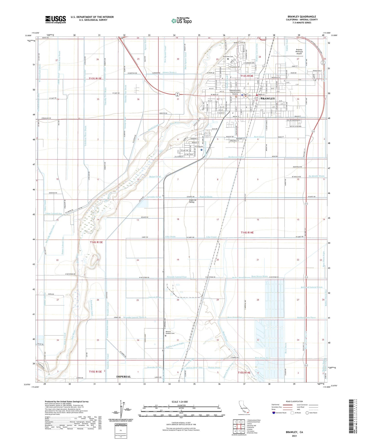
2021 topographic map quadrangle Brawley in the state of California. Scale: 1:24000. Based on the newly updated USGS 7.5' US Topo map series, this map is in the following counties: Imperial. The map contains contour data, water features, and other items you are used to seeing on USGS maps, but also has updated roads and other features. This is the next generation of topographic maps. Printed on high-quality waterproof paper with UV fade-resistant inks.
Quads adjacent to this one:
West: Brawley NW
Northwest: Westmorland West
North: Westmorland East
Northeast: Wiest
East: Alamorio
Southeast: Holtville West
South: El Centro
Southwest: Seeley
This map covers the same area as the classic USGS quad with code o32115h5.
Contains the following named places: All Saints Episcopal Church, Alyce Gereaux Park, Baptist Missionary Tabernacle, Barbara Worth Junior High School, Brawley, Brawley Chamber of Commerce, Brawley City Hall, Brawley City Water Works, Brawley Fire Department Station 1, Brawley Foursquare Gospel Church, Brawley Junior College, Brawley Municipal Airport, Brawley Police Department, Brawley Post Office, Brawley Public LIbrary, Brawley Union High School, Calvary Baptist Church, Church of Christ, Church of God of Prophecy, Church of the Nazarene, Citrus View, City of Brawley, Cline Park, Crestview Park, Dahlia Canal, Dolson Drain, Dolson Drain One, First Baptist Church, First Christian Church, First Church of Christ Scientist, First Mexican Baptist Church, First Presbyterian Church, First Southern Baptist Church, First United Methodist Church of Brawley, Free Methodist Church, Grape Siding, Guadalupe Park, Hawthorne Park, Iglesia Apostolica, Iglesia de Christo, Imperial County Building, Imperial County Sheriff's Office Brawley North County Operations, J W Oakley Elementary School, KROP-AM (Brawley), Lateral Three, Lavender Canal, Lilac Canal, Lilac Drain, Lions Field, Longfellow Park, Malan Canal, Mansfield Canal, Memory Gardens Cemetery, Meserve Park, Miguel Hidalgo Elementary School, Myron D Witter Elementary School, New River Fines Material Pit, New Testament Baptist Church, Newside Lateral Four, Newside Lateral Three-A, O'Connell Brothers Airport, Our Lady of Perpetual Help Catholic Church, Pat Williams Park, Pearsol Drain, Phil D Swing Elementary School, Pioneers Memorial Hospital, Pioneers Memorial Hospital Heliport, Plaza Park, Redwood Lateral Seven, Reid School, Ridge Park, Rio Vista Plaza Shopping Center, River Park, Riverview Cemetery, Rose Drain, Rose Drain Eight, Rose Drain One, Rose Drain Three A, Rose Drain Two, Rose Lateral Seven, Rose Seven Drain, Rubber Drain, Rubber Drain One, Sacred Heart Roman Catholic Church, Sacred Heart School, Saint Margaret Mary Catholic Church, Sandal Canal, Schaefer Ambulance Service, Seventh Day Adventist Church, Seventh Day Adventist Spanish Church, Soroptimist Elementary School, Spruce Drain 2, Stanley Canal, Stanley Lateral One, Sumac Canal, Sumac Lateral, Sumac Lateral Two, Tamarack Ranch, The Church of Jesus Christ of Latter Day Saints, Thorn 1 Canal, Thorn Canal, Timothy One Drain, Timothy Two Drain, Tokay Lateral One, Trifolium Three Drain, Trinity Lutheran Church, Tuberose Canal, Turnip Canal, Valley Baptist Church, Valley Fish Farms, Warne Field, Warne Park, Weinburg Park, Western Avenue Baptist Church, Western Baptist Christian School, Westgate Shopping Center, Westmorland Canal, Westmorland Drain, Westside Main Canal, Whittier Park


