MyTopo
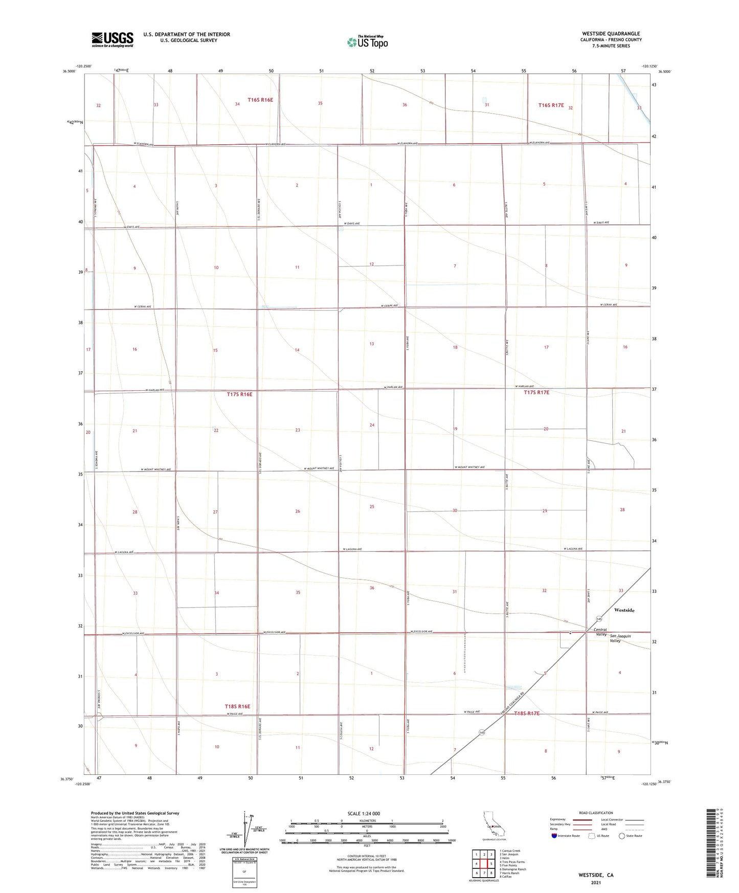
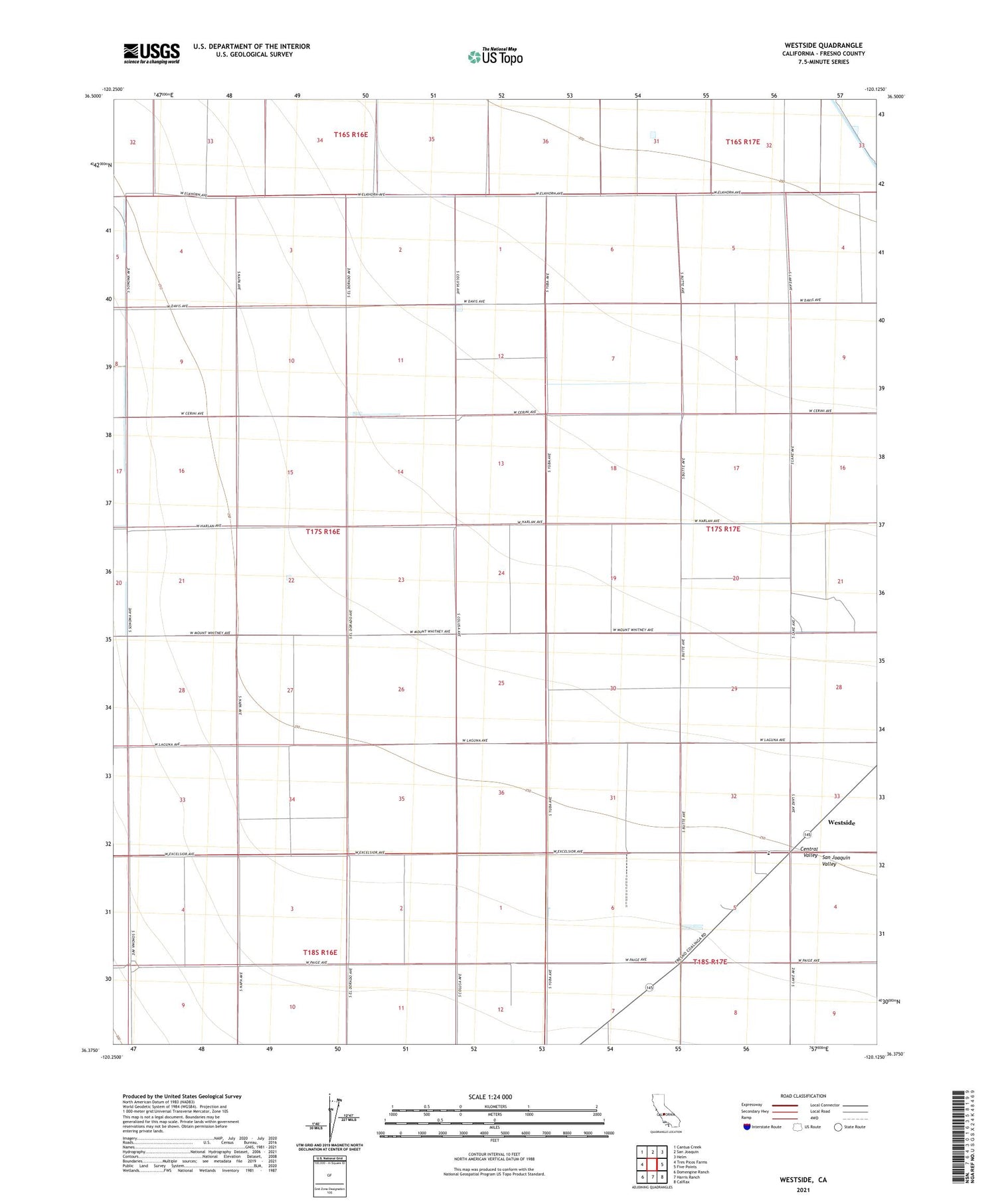
Westside California US Topo Map
Couldn't load pickup availability
2021 topographic map quadrangle Westside in the state of California. Scale: 1:24000. Based on the newly updated USGS 7.5' US Topo map series, this map is in the following counties: Fresno. The map contains contour data, water features, and other items you are used to seeing on USGS maps, but also has updated roads and other features. This is the next generation of topographic maps. Printed on high-quality waterproof paper with UV fade-resistant inks.
Quads adjacent to this one:
West: Tres Picos Farms
Northwest: Cantua Creek
North: San Joaquin
Northeast: Helm
East: Five Points
Southeast: Calflax
South: Harris Ranch
Southwest: Domengine Ranch
This map covers the same area as the classic USGS quad with code o36120d2.
Contains the following named places: Airway Farms, Baker Ranch, Harnish Ranch, Kings County Development Company Farm Number 1, Matheson Ranch, O'Neill Ranch, Towne Oil Station, Vista del Llano Farms, Westside, Westside Census Designated Place, Westside Elementary School, Wilson Ranch