MyTopo
Wildrose Peak California US Topo Map
Couldn't load pickup availability
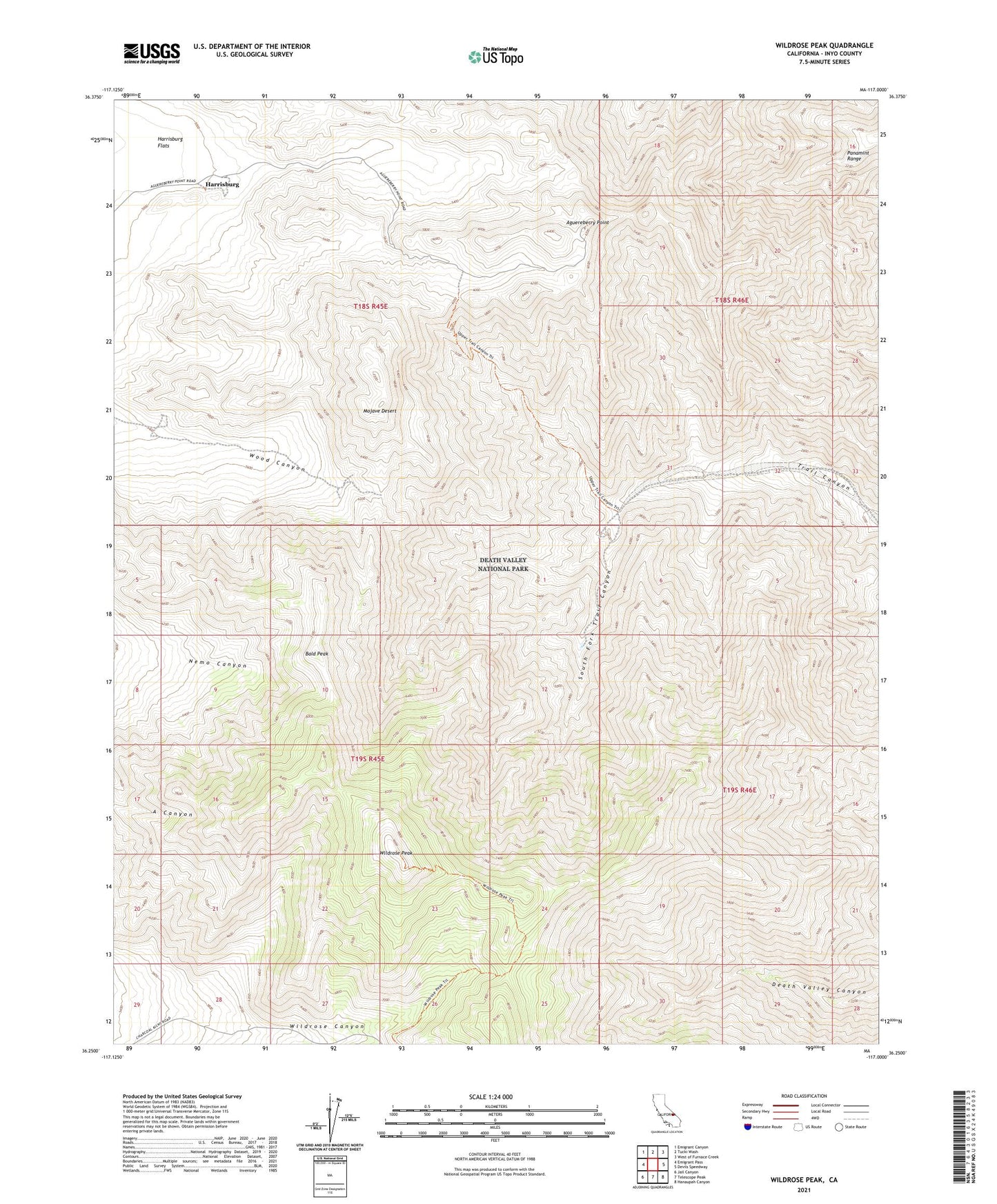
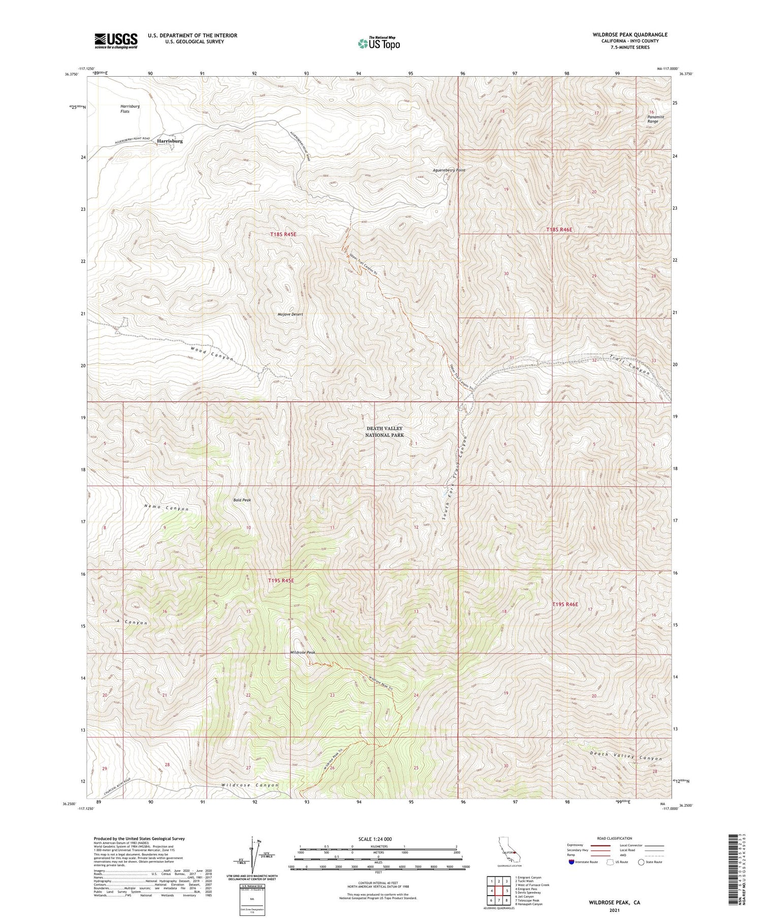
2021 topographic map quadrangle Wildrose Peak in the state of California. Scale: 1:24000. Based on the newly updated USGS 7.5' US Topo map series, this map is in the following counties: Inyo. The map contains contour data, water features, and other items you are used to seeing on USGS maps, but also has updated roads and other features. This is the next generation of topographic maps. Printed on high-quality waterproof paper with UV fade-resistant inks.
Quads adjacent to this one:
West: Emigrant Pass
Northwest: Emigrant Canyon
North: Tucki Wash
Northeast: West of Furnace Creek
East: Devils Speedway
Southeast: Hanaupah Canyon
South: Telescope Peak
Southwest: Jail Canyon
This map covers the same area as the classic USGS quad with code o36117c1.
Contains the following named places: Aguereberry Point, Argenta Mine, Bald Peak, Harrisburg, Napoleon Mine, South Fork Trail Canyon, Wildrose Peak