MyTopo
Emigrant Canyon California US Topo Map
Couldn't load pickup availability
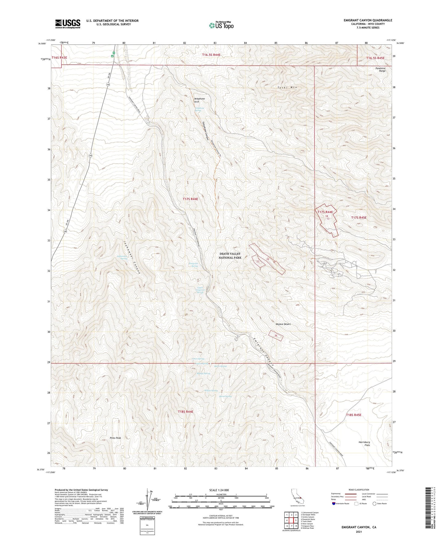
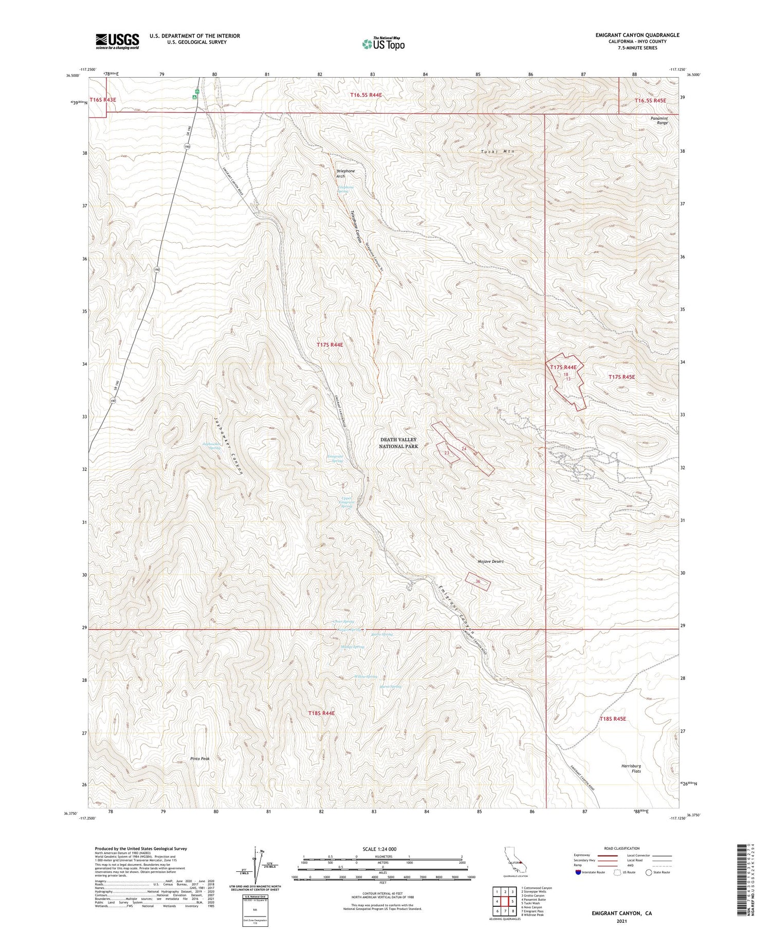
2021 topographic map quadrangle Emigrant Canyon in the state of California. Scale: 1:24000. Based on the newly updated USGS 7.5' US Topo map series, this map is in the following counties: Inyo. The map contains contour data, water features, and other items you are used to seeing on USGS maps, but also has updated roads and other features. This is the next generation of topographic maps. Printed on high-quality waterproof paper with UV fade-resistant inks.
Quads adjacent to this one:
West: Panamint Butte
Northwest: Cottonwood Canyon
North: Stovepipe Wells
Northeast: Grotto Canyon
East: Tucki Wash
Southeast: Wildrose Peak
South: Emigrant Pass
Southwest: Nova Canyon
This map covers the same area as the classic USGS quad with code o36117d2.
Contains the following named places: Burns Spring, Burro Spring, Canyon Spring, Death Valley National Park, Death Valley Wilderness, Emigrant Canyon, Emigrant Ranger Station, Emigrant Spring, Greer Spring, Harrisburg Flats, Jayhawker Canyon, Jayhawker Spring, Malapi Spring, Pinto Peak, Skidoo, Telephone Arch, Telephone Canyon, Telephone Spring, Tucki Mountain, Upper Emigrant Spring, Willow Spring