MyTopo
Atwood Colorado US Topo Map
Couldn't load pickup availability
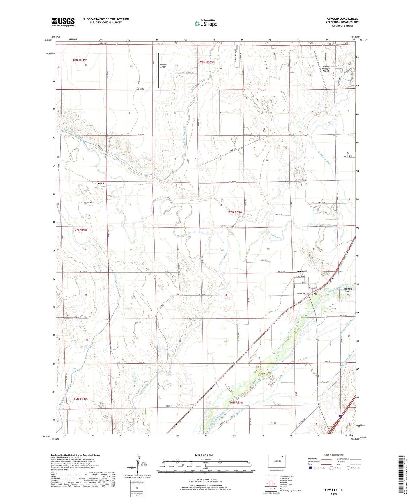
2022 topographic map quadrangle Atwood in the state of Colorado. Scale: 1:24000. Based on the newly updated USGS 7.5' US Topo map series, this map is in the following counties: Logan. The map contains contour data, water features, and other items you are used to seeing on USGS maps, but also has updated roads and other features. This is the next generation of topographic maps. Printed on high-quality waterproof paper with UV fade-resistant inks.
Quads adjacent to this one:
West: Willard
Northwest: Wild Horse Lake
North: Atwood NE
Northeast: Sterling North
East: Sterling South
Southeast: Buffalo Springs Ranch NW
South: Merino
Southwest: Messex
This map covers the same area as the classic USGS quad with code o40103e3.
Contains the following named places: Atwood, Atwood Census Designated Place, Atwood Post Office, Logan, Mertens Airport, North Pawnee Ditch, North Sterling Canal, Pawnee Ditch, Schneider Ditch, South Schneider Ditch, Sterling Municipal Airport, ZIP Code: 80722