MyTopo
Brush East Colorado US Topo Map
Couldn't load pickup availability
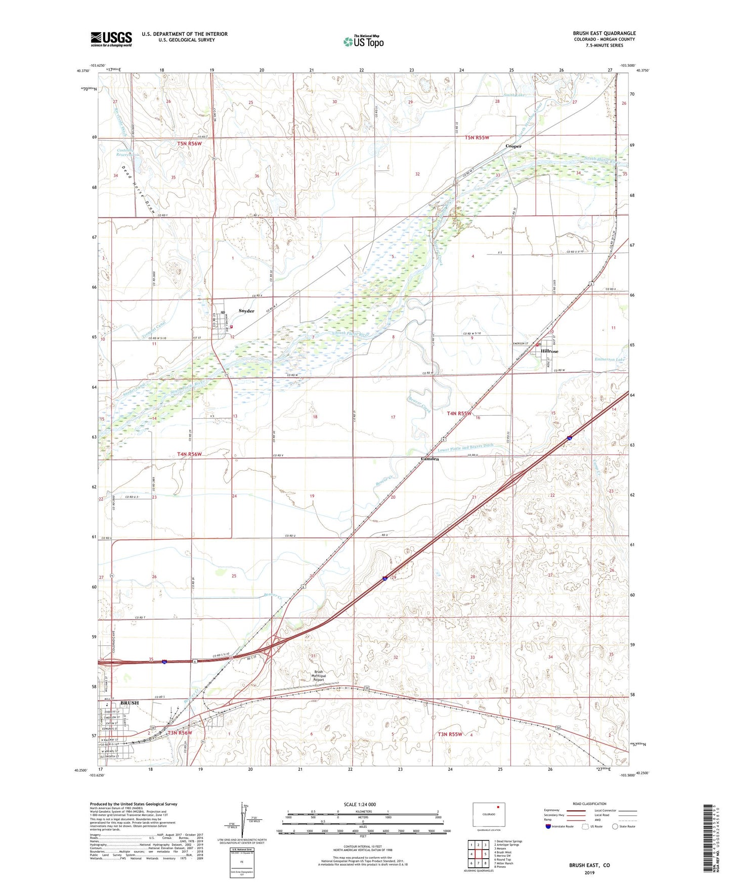
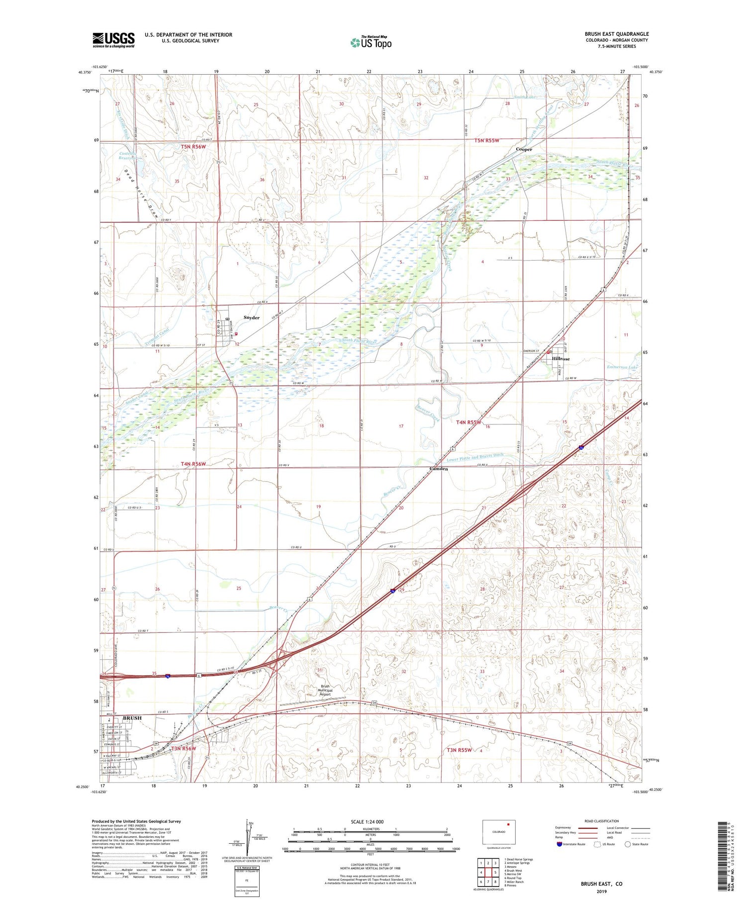
2022 topographic map quadrangle Brush East in the state of Colorado. Scale: 1:24000. Based on the newly updated USGS 7.5' US Topo map series, this map is in the following counties: Morgan. The map contains contour data, water features, and other items you are used to seeing on USGS maps, but also has updated roads and other features. This is the next generation of topographic maps. Printed on high-quality waterproof paper with UV fade-resistant inks.
Quads adjacent to this one:
West: Brush West
Northwest: Dead Horse Springs
North: Antelope Springs
Northeast: Messex
East: Merino SW
Southeast: Pinneo
South: Miller Ranch
Southwest: Round Top
This map covers the same area as the classic USGS quad with code o40103c5.
Contains the following named places: Beaver Creek, Brush, Brush Municipal Airport, Camden, Camp Creek, Colwell School, Cooper, Costelloe Dam, Costelloe Reservoir, Dead Horse Draw, Fairview School, Headley Dam, Hillrose, Hillrose - Snyder Fire Department, Hillrose Post Office, Lower Platte and Beaver Ditch, Pinneo Feedlot, Smith Lake, Snyder, Snyder Canal, Snyder Census Designated Place, Snyder Dam, Snyder Post Office, Snyder Reservoir, Town of Hillrose, Trowel Ranch