MyTopo
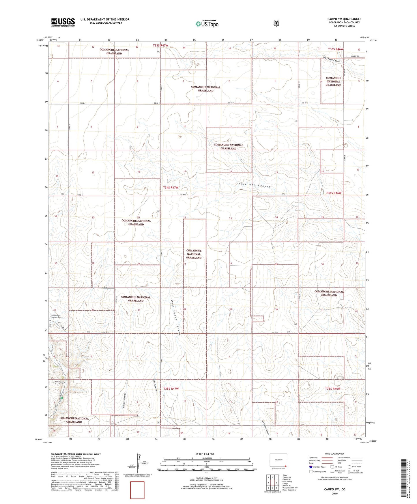
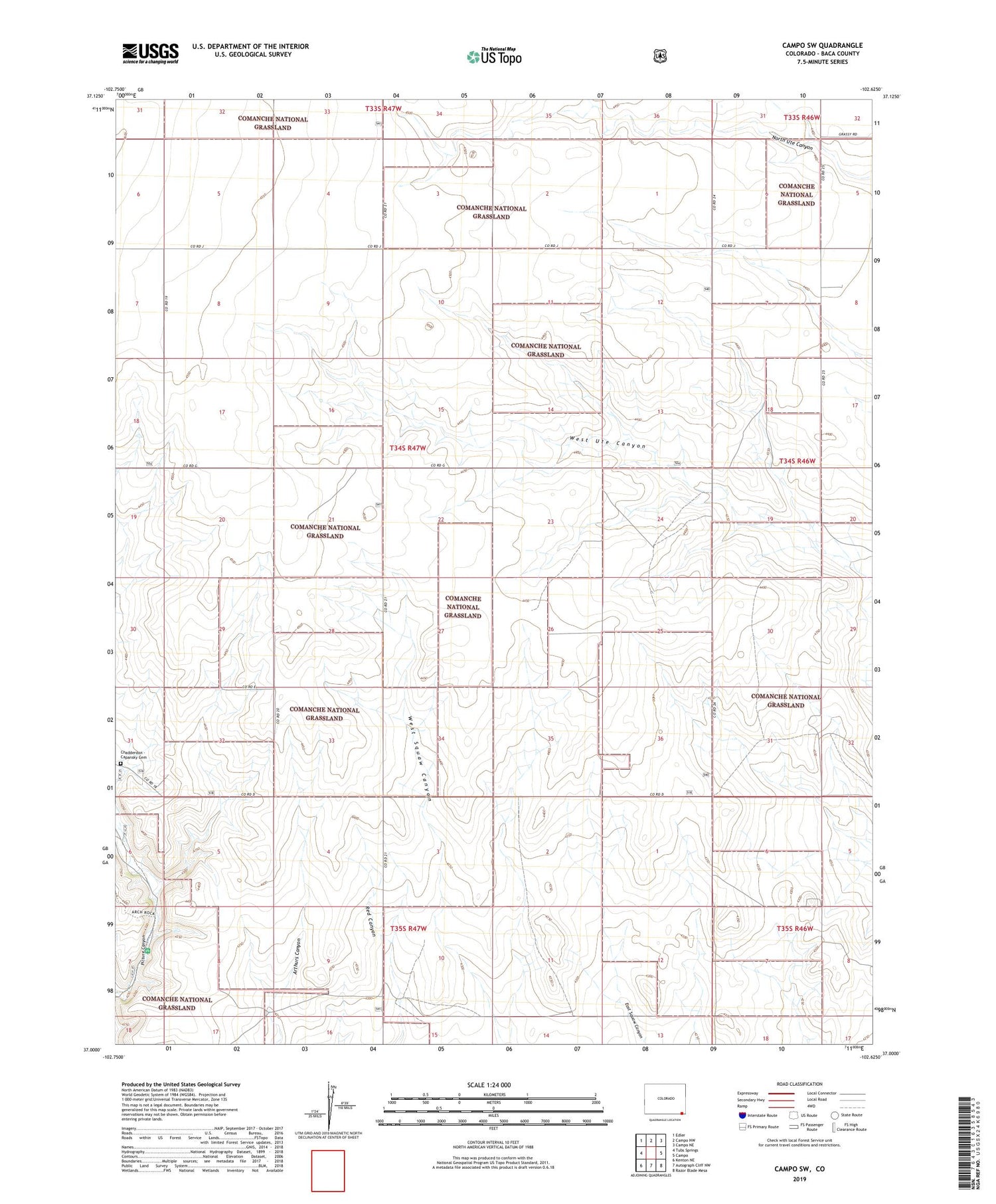
Campo SW Colorado US Topo Map
Couldn't load pickup availability
Also explore the Campo SW Forest Service Topo of this same quad for updated USFS data
2023 topographic map quadrangle Campo SW in the state of Colorado. Scale: 1:24000. Based on the newly updated USGS 7.5' US Topo map series, this map is in the following counties: Baca. The map contains contour data, water features, and other items you are used to seeing on USGS maps, but also has updated roads and other features. This is the next generation of topographic maps. Printed on high-quality waterproof paper with UV fade-resistant inks.
Quads adjacent to this one:
West: Tubs Springs
Northwest: Edler
North: Campo NW
Northeast: Campo NE
East: Campo
Southeast: Razor Blade Mesa
South: Autograph Cliff NW
Southwest: Kenton NE
This map covers the same area as the classic USGS quad with code o37102a6.
Contains the following named places: Arthurs Canyon, Chadderdon - Capansky Cemetery, Picture Canyon Picnic Area