MyTopo
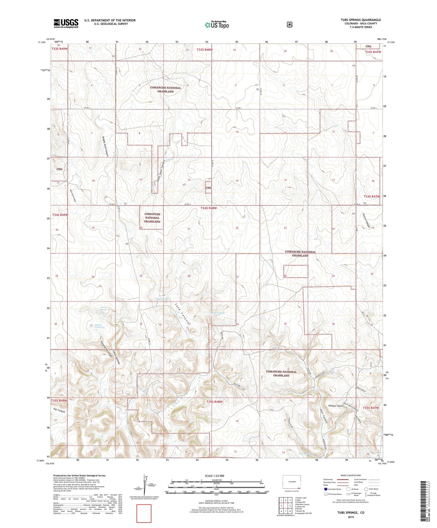
Tubs Springs Colorado US Topo Map
Couldn't load pickup availability
Also explore the Tubs Springs Forest Service Topo of this same quad for updated USFS data
2022 topographic map quadrangle Tubs Springs in the state of Colorado. Scale: 1:24000. Based on the newly updated USGS 7.5' US Topo map series, this map is in the following counties: Baca. The map contains contour data, water features, and other items you are used to seeing on USGS maps, but also has updated roads and other features. This is the next generation of topographic maps. Printed on high-quality waterproof paper with UV fade-resistant inks.
Quads adjacent to this one:
West: Big Hole Canyon
Northwest: Reader Lake
North: Edler
Northeast: Campo NW
East: Campo SW
Southeast: Autograph Cliff NW
South: Kenton NE
Southwest: Kenton
Contains the following named places: Cave Spring, Cross L Spring, Dipping Vat Spring, Dripping Vat Canyon, Dripping Vat Spring, East Sand Canyon, East Sand Canyon Windmill, Little Dandy Windmill, Mamnie Windmill, Middle Sand Canyon, Ramon Spring, Tubs Springs, West Sand Canyon, Wisdom Tooth