MyTopo
Craig Colorado US Topo Map
Couldn't load pickup availability
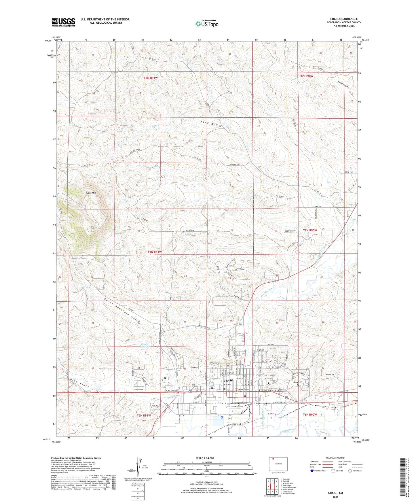
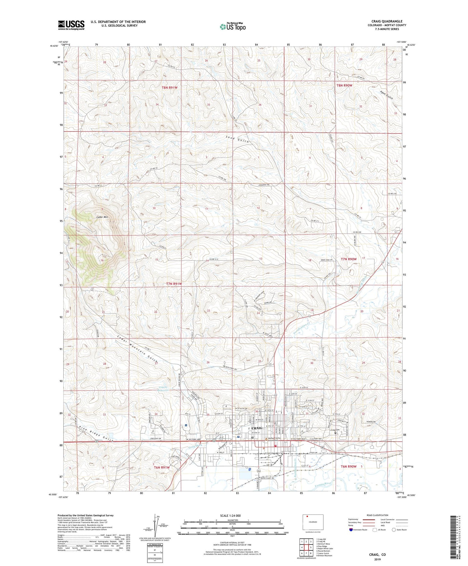
2022 topographic map quadrangle Craig in the state of Colorado. Scale: 1:24000. Based on the newly updated USGS 7.5' US Topo map series, this map is in the following counties: Moffat. The map contains contour data, water features, and other items you are used to seeing on USGS maps, but also has updated roads and other features. This is the next generation of topographic maps. Printed on high-quality waterproof paper with UV fade-resistant inks.
Quads adjacent to this one:
West: Pine Ridge
Northwest: Craig NW
North: Craig NE
Northeast: McInturf Mesa
East: Ralph White Lake
Southeast: Breeze Mountain
South: Castor Gulch
Southwest: Round Bottom
This map covers the same area as the classic USGS quad with code o40107e5.
Contains the following named places: Breeze School, Cedar Mountain, Cedar Mountain Gulch, Centennial Mall, City of Craig, Colorado State Patrol Troop 4B Craig, Coyote Dam, Coyote Reservoir, Craig, Craig Cemetery, Craig Ditch, Craig Fire / Rescue, Craig Pit, Craig Police Department, Craig Post Office, Early Childhood Center, East Elementary School, Edmundson Mine, Grace Pit, KRAI-AM (Craig), KRAI-FM (Craig), Memorial Hospital Heliport, Moffat County Sheriff's Office, Moon Pit, Pine Ridge Gulch, Sand Gulch, Sandrock Elementary School, Sunset Elementary School, The Memorial Hospital Craig, The Memorial Hospital Medical Clinic, The Memorial Hospital Rehabilitation Center, Three Sisters Mine