MyTopo
Castor Gulch Colorado US Topo Map
Couldn't load pickup availability
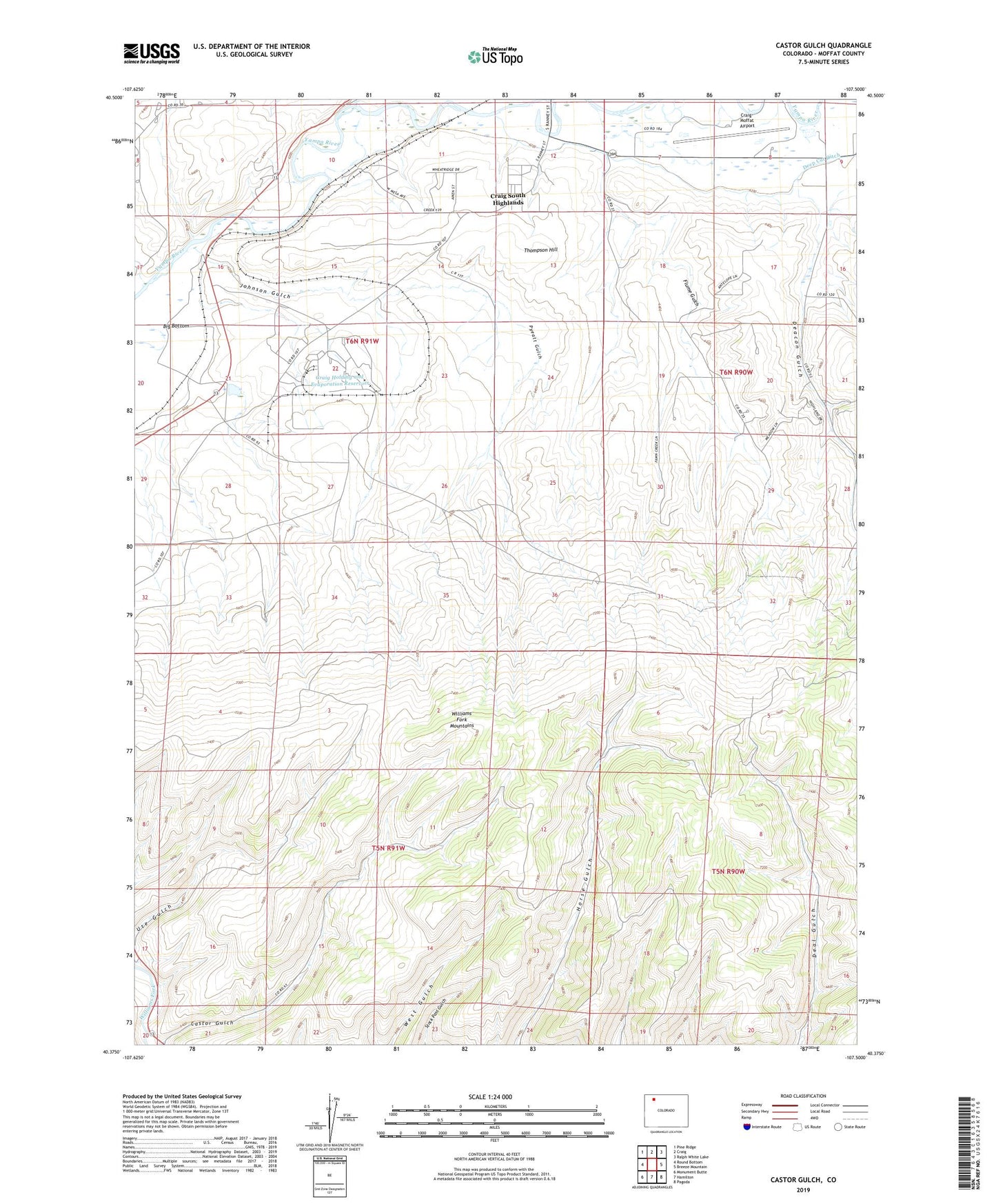
2022 topographic map quadrangle Castor Gulch in the state of Colorado. Scale: 1:24000. Based on the newly updated USGS 7.5' US Topo map series, this map is in the following counties: Moffat. The map contains contour data, water features, and other items you are used to seeing on USGS maps, but also has updated roads and other features. This is the next generation of topographic maps. Printed on high-quality waterproof paper with UV fade-resistant inks.
Quads adjacent to this one:
West: Round Bottom
Northwest: Pine Ridge
North: Craig
Northeast: Ralph White Lake
East: Breeze Mountain
Southeast: Pagoda
South: Hamilton
Southwest: Monument Butte
This map covers the same area as the classic USGS quad with code o40107d5.
Contains the following named places: Blair Coal Mine, Bogenschutz Creek, Brant Mine, Castor Gulch, Craig Holding and Evaporation Dam, Craig Holding and Evaporation Reservoir, Craig Raw Water Dam, Craig Raw Water Reservoir, Craig South Highlands, Craig-Moffat Airport, Deacon Gulch, Deep Cut Ditch, Eberle Mine, Flume Gulch, Fortification Creek, Hamilton Mine, Hamilton School, Johnson Gulch, Mack Pit, Mine Number Five, Mount Evans Mine, Phillips Mine, Pyeatt Gulch, Thompson Hill, Trapper Strip Mine, Walker Mine, Whitlock Mine