MyTopo
Desert Gulch Colorado US Topo Map
Couldn't load pickup availability
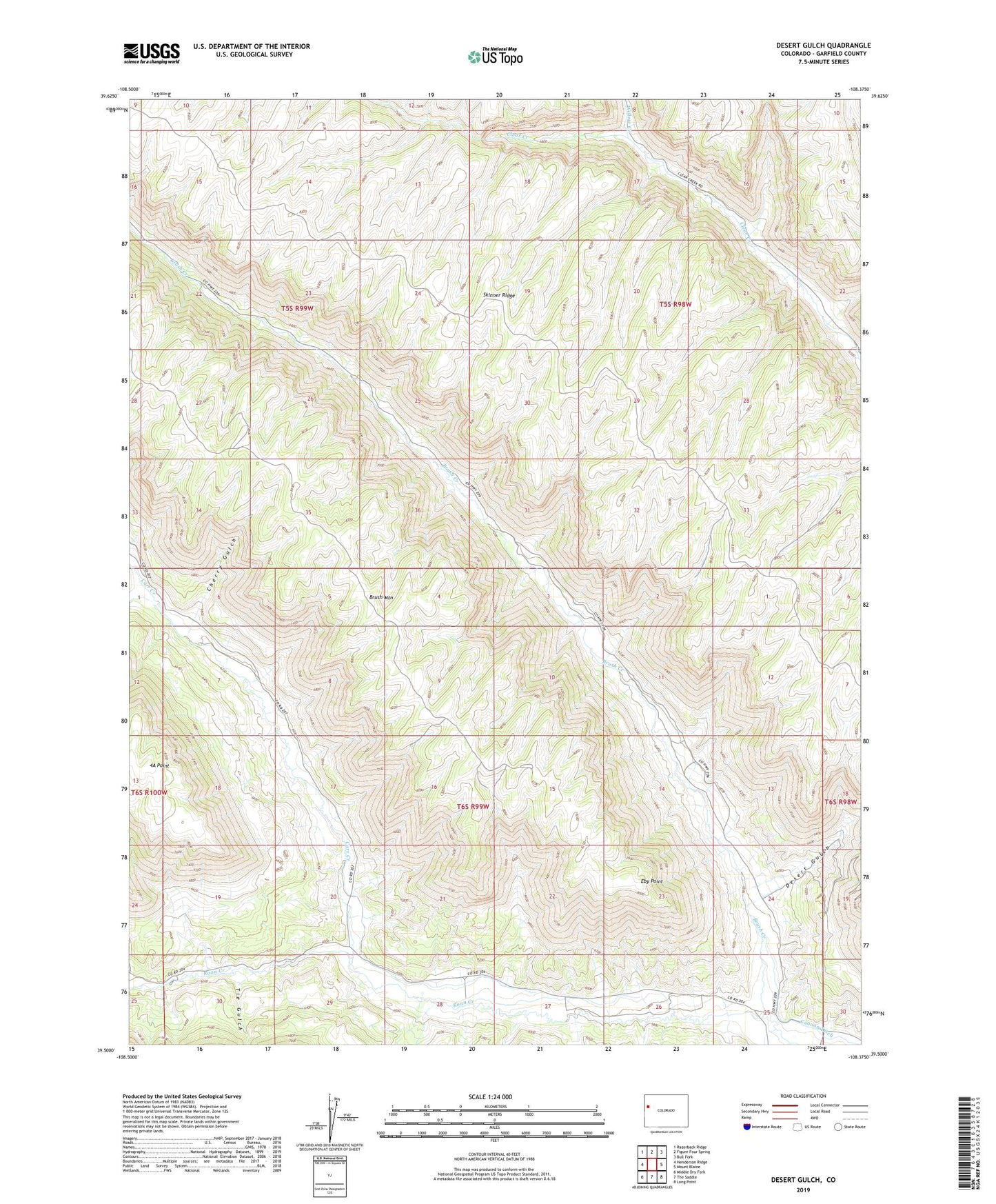
2022 topographic map quadrangle Desert Gulch in the state of Colorado. Scale: 1:24000. Based on the newly updated USGS 7.5' US Topo map series, this map is in the following counties: Garfield. The map contains contour data, water features, and other items you are used to seeing on USGS maps, but also has updated roads and other features. This is the next generation of topographic maps. Printed on high-quality waterproof paper with UV fade-resistant inks.
Quads adjacent to this one:
West: Henderson Ridge
Northwest: Razorback Ridge
North: Figure Four Spring
Northeast: Bull Fork
East: Mount Blaine
Southeast: Long Point
South: The Saddle
Southwest: Middle Dry Fork
This map covers the same area as the classic USGS quad with code o39108e4.
Contains the following named places: 4A Point, Brush Creek, Cannon Ditch, Carr Creek, Cherry Gulch, Desert Gulch, Eby Point, Left Fork Carr Creek, Sheep Gulch, Tie Gulch, West Garfield Division, Willow Creek