MyTopo
Bull Fork Colorado US Topo Map
Couldn't load pickup availability
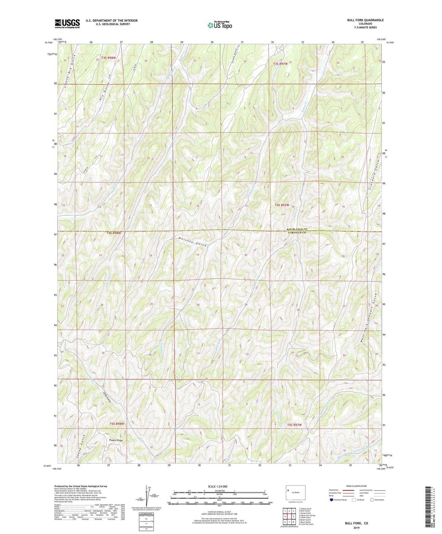
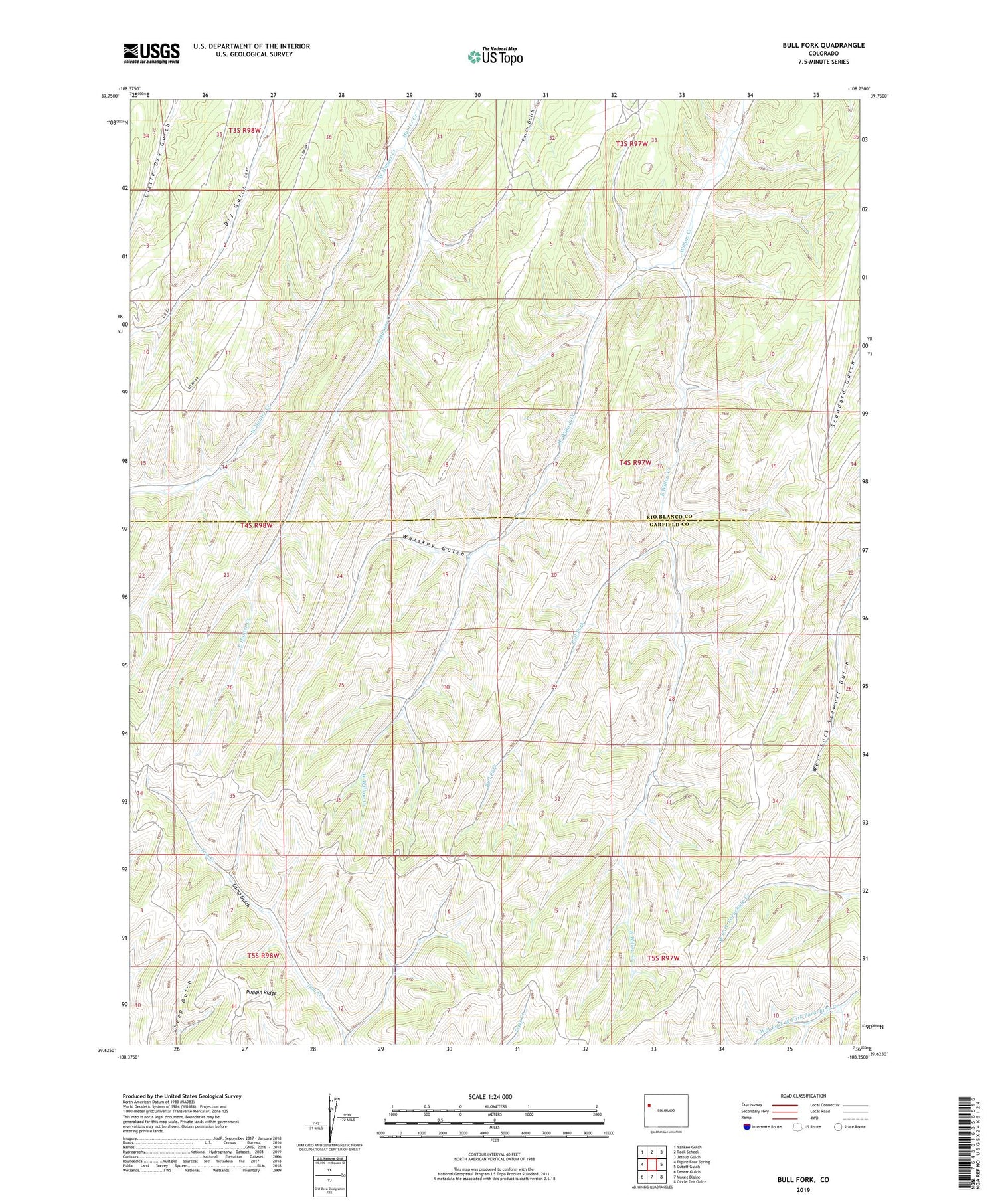
2022 topographic map quadrangle Bull Fork in the state of Colorado. Scale: 1:24000. Based on the newly updated USGS 7.5' US Topo map series, this map is in the following counties: Garfield, Rio Blanco. The map contains contour data, water features, and other items you are used to seeing on USGS maps, but also has updated roads and other features. This is the next generation of topographic maps. Printed on high-quality waterproof paper with UV fade-resistant inks.
Quads adjacent to this one:
West: Figure Four Spring
Northwest: Yankee Gulch
North: Rock School
Northeast: Jessup Gulch
East: Cutoff Gulch
Southeast: Circle Dot Gulch
South: Mount Blaine
Southwest: Desert Gulch
This map covers the same area as the classic USGS quad with code o39108f3.
Contains the following named places: Bull Fork, East Hunter Creek, East Willow Creek, Puddin Ridge, West Hunter Creek, West Willow Creek, Whiskey Gulch