MyTopo
Dipper Spring Colorado US Topo Map
Couldn't load pickup availability
Also explore the Dipper Spring Forest Service Topo of this same quad for updated USFS data
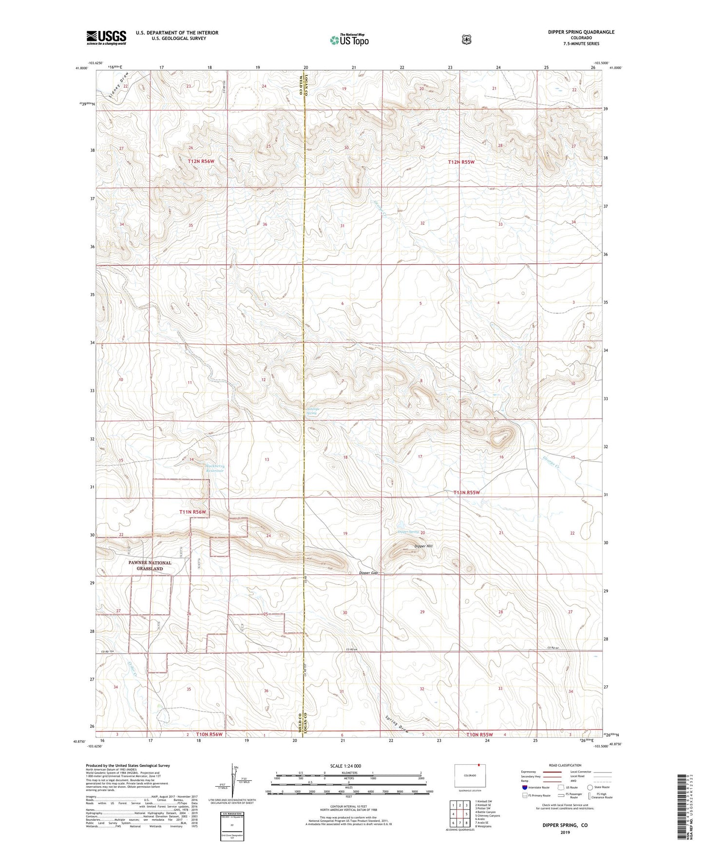
2022 topographic map quadrangle Dipper Spring in the state of Colorado. Scale: 1:24000. Based on the newly updated USGS 7.5' US Topo map series, this map is in the following counties: Logan, Weld. The map contains contour data, water features, and other items you are used to seeing on USGS maps, but also has updated roads and other features. This is the next generation of topographic maps. Printed on high-quality waterproof paper with UV fade-resistant inks.
Quads adjacent to this one:
West: Battle Canyon
Northwest: Kimball SW
North: Kimball SE
Northeast: Potter SW
East: Chimney Canyons
Southeast: Westplains
South: Avalo SE
Southwest: Avalo
This map covers the same area as the classic USGS quad with code o40103h5.
Contains the following named places: Antelope Spring, Cervi Ranch, Dipper Gap, Dipper Hill, Dipper Spring, Hackberry Reservoir, Indian Caves Windmill