MyTopo
Westplains Colorado US Topo Map
Couldn't load pickup availability
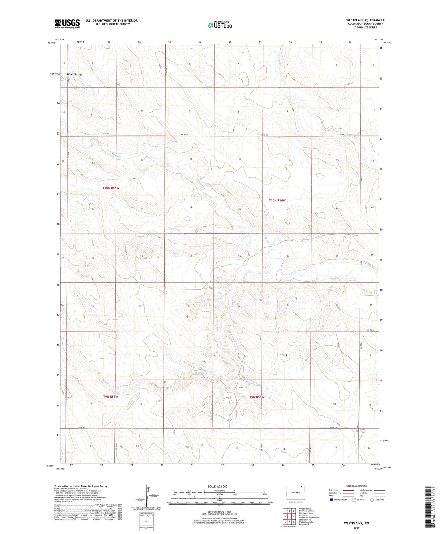
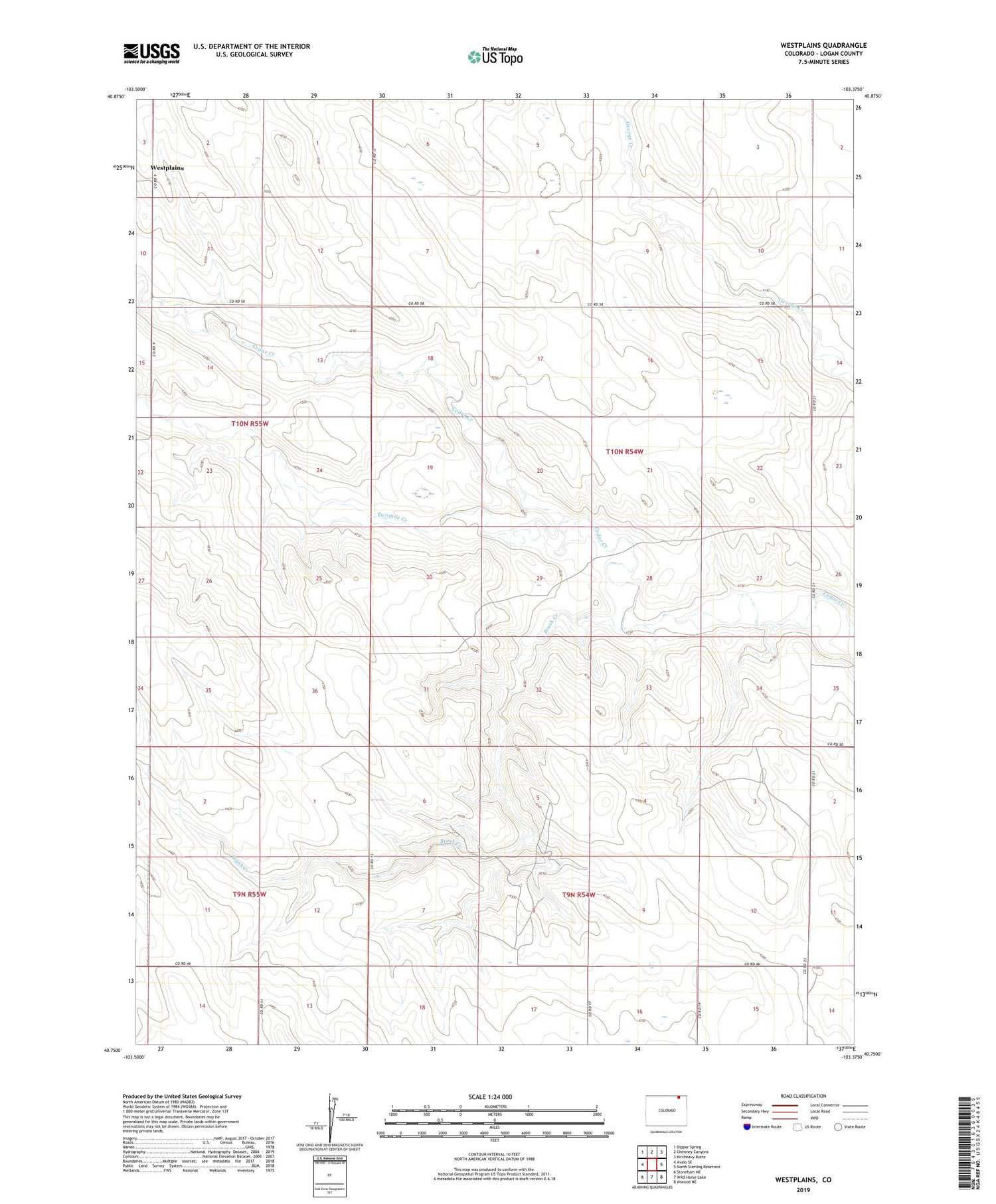
2022 topographic map quadrangle Westplains in the state of Colorado. Scale: 1:24000. Based on the newly updated USGS 7.5' US Topo map series, this map is in the following counties: Logan. The map contains contour data, water features, and other items you are used to seeing on USGS maps, but also has updated roads and other features. This is the next generation of topographic maps. Printed on high-quality waterproof paper with UV fade-resistant inks.
Quads adjacent to this one:
West: Avalo SE
Northwest: Dipper Spring
North: Chimney Canyons
Northeast: Kirchnavy Butte
East: North Sterling Reservoir
Southeast: Atwood NE
South: Wild Horse Lake
Southwest: Stoneham NE
This map covers the same area as the classic USGS quad with code o40103g4.
Contains the following named places: Brush Creek, Little Hoot Oil Field, Twomile Creek, Westplains