MyTopo
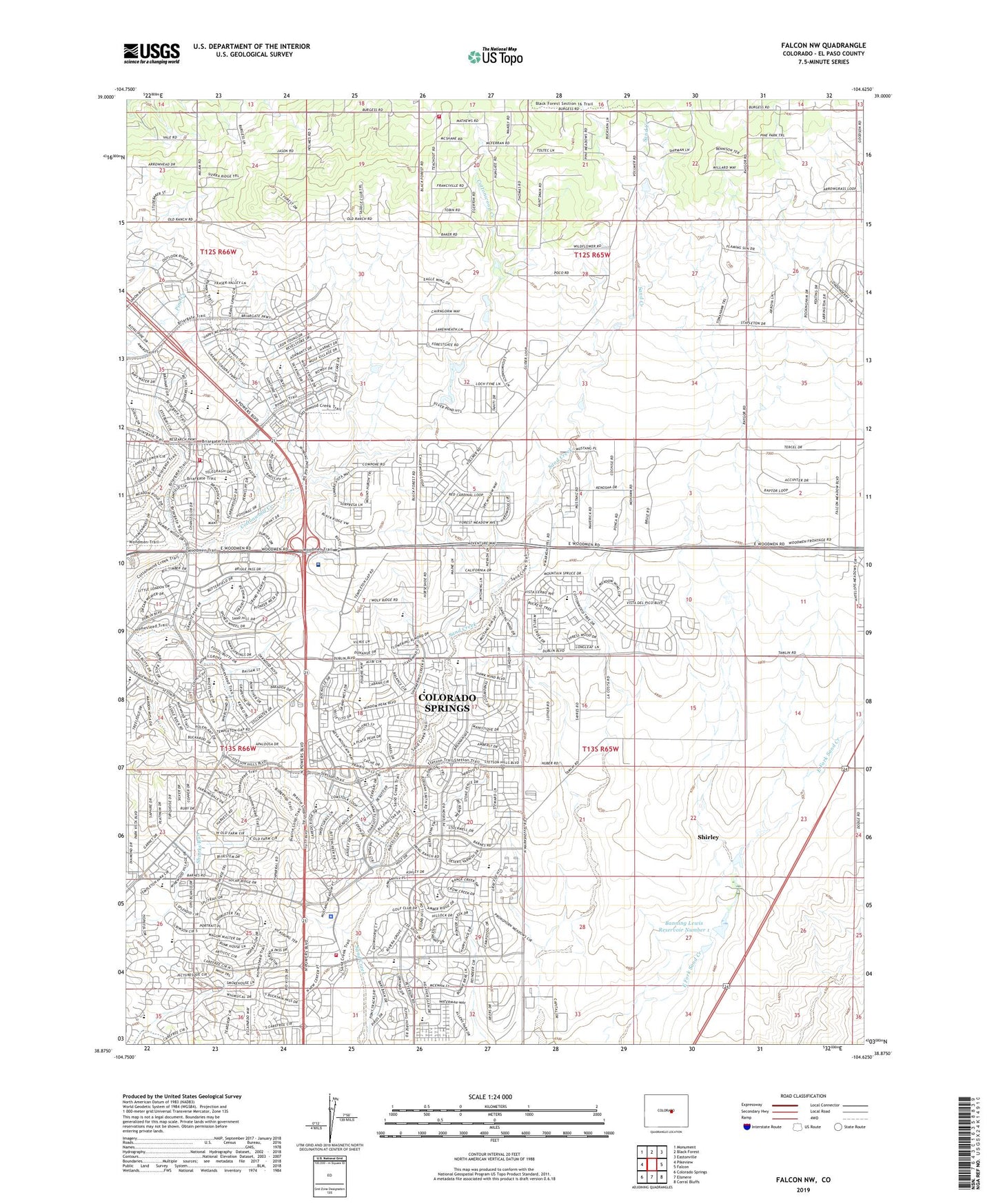
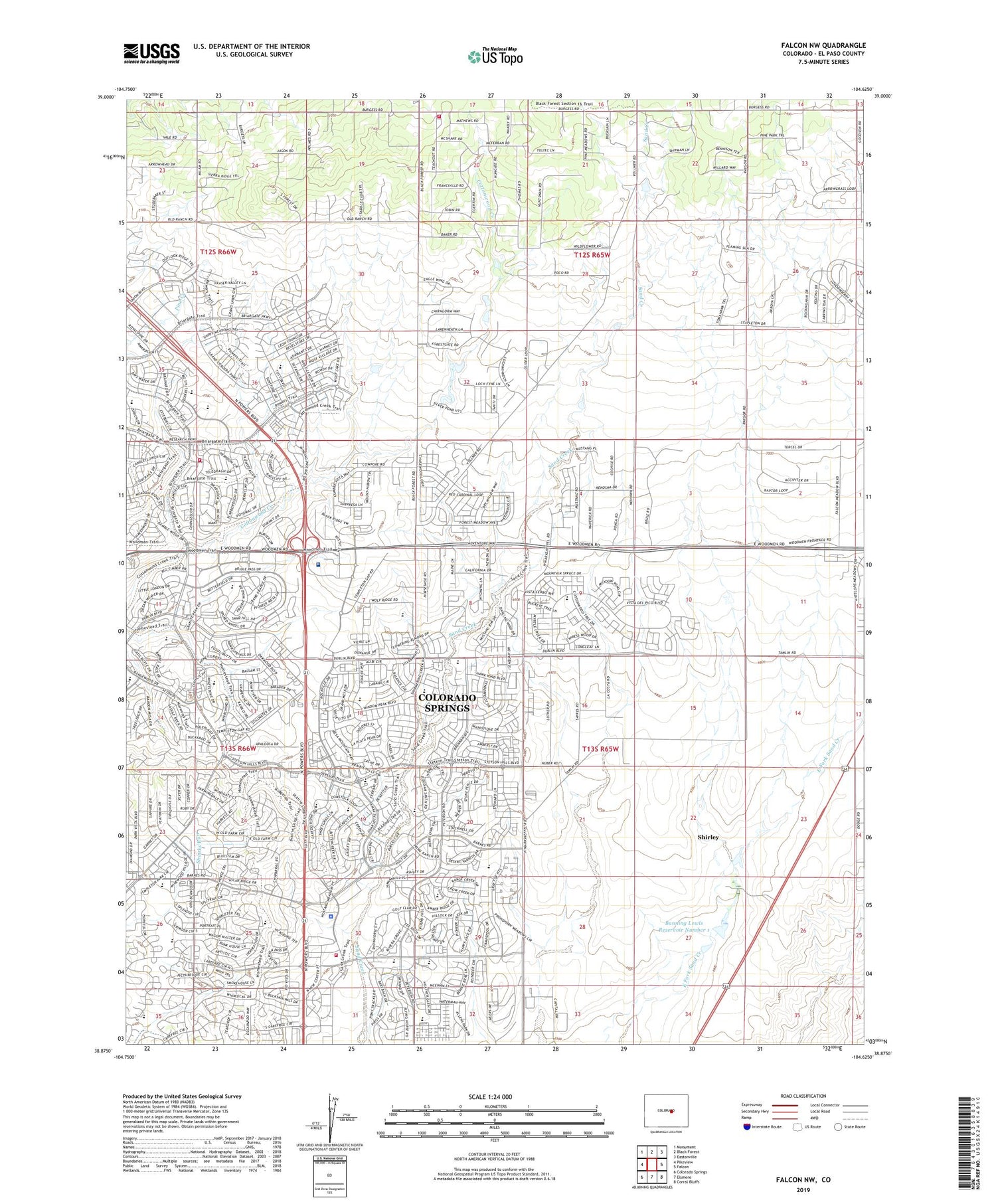
Falcon NW Colorado US Topo Map
Couldn't load pickup availability
2022 topographic map quadrangle Falcon NW in the state of Colorado. Scale: 1:24000. Based on the newly updated USGS 7.5' US Topo map series, this map is in the following counties: El Paso. The map contains contour data, water features, and other items you are used to seeing on USGS maps, but also has updated roads and other features. This is the next generation of topographic maps. Printed on high-quality waterproof paper with UV fade-resistant inks.
Quads adjacent to this one:
West: Pikeview
Northwest: Monument
North: Black Forest
Northeast: Eastonville
East: Falcon
Southeast: Corral Bluffs
South: Elsmere
Southwest: Colorado Springs
This map covers the same area as the classic USGS quad with code o38104h6.
Contains the following named places: Anna M Rudy Elementary School, Banning Lewis Number 1 Dam, Banning Lewis Ranch, Banning Lewis Reservoir Number 1, Black Forest Church, Black Forest Fire / Rescue Station 1, Colorado Springs Fire Department Station 15, Colorado Springs Fire Department Station 17, Colorado Springs Police Department Stetson Hills Division, Elsmere Division, Explorer Elementary School, Flight for Life Colorado, G W Flanders Ranch Strip, George Washington Carver Elementary School, Hyatt Ranch, Jenkins Middle School, Julie Penrose Elementary School, Liberty High School, Martinez Elementary School, Prairie Hills Elementary School, Saint Francis Medical Center, Sand Creek High School, Scott Elementary School, Select Long Term Care Hospital Colorado Springs, Shirley, Skyview Middle School, Stetson Elementary School, Thomas B Doherty High School, Timberview Middle School, Wolf Ranch, ZIP Codes: 80917, 80922, 80923, 80924, 80927, 80938, 80939, 80951


