MyTopo
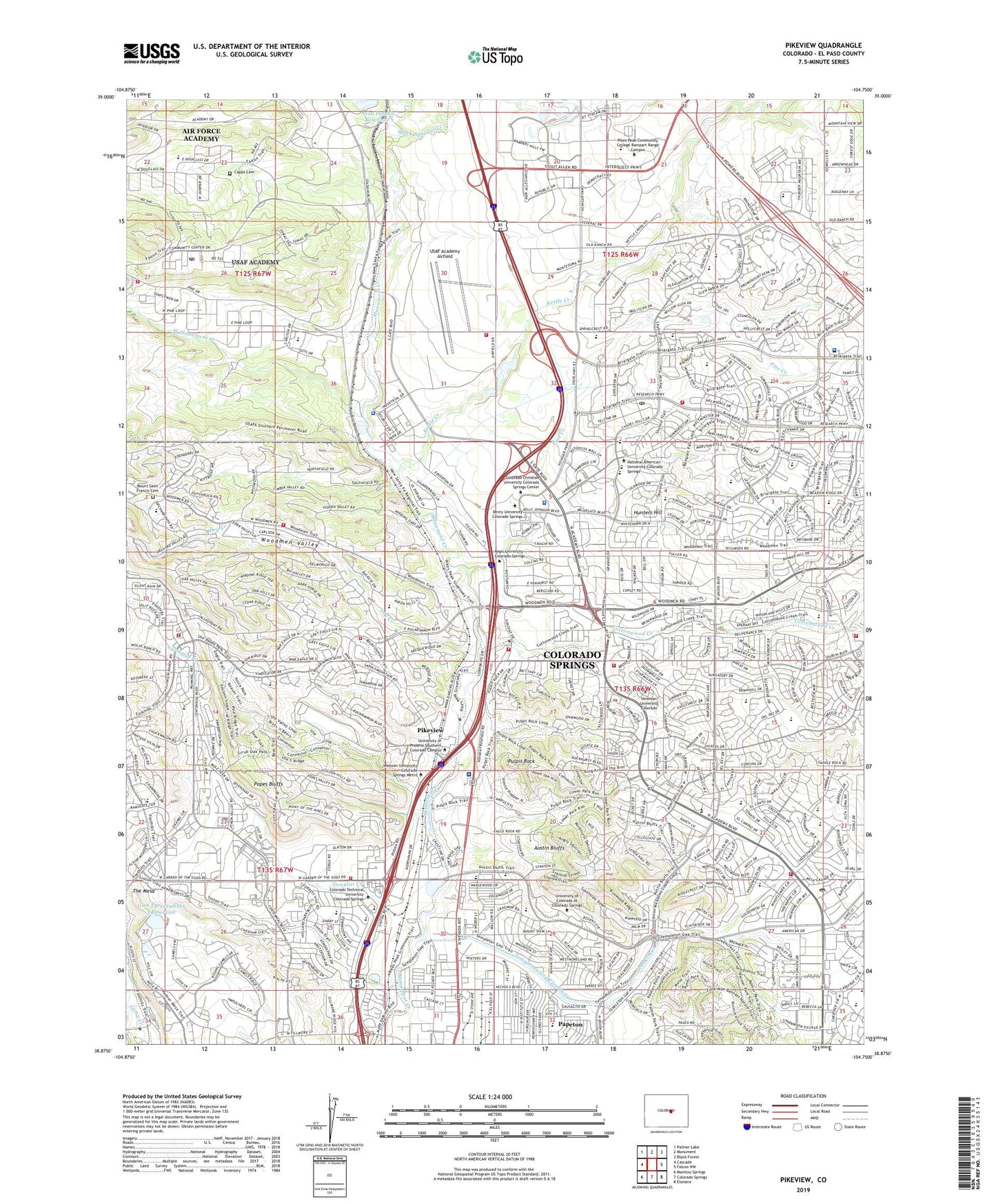
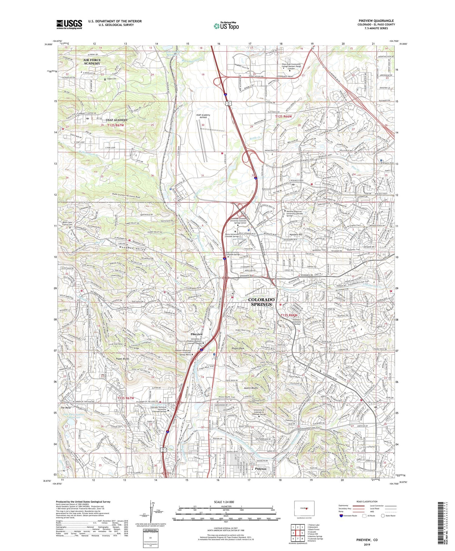
Pikeview Colorado US Topo Map
Couldn't load pickup availability
2023 topographic map quadrangle Pikeview in the state of Colorado. Scale: 1:24000. Based on the newly updated USGS 7.5' US Topo map series, this map is in the following counties: El Paso. The map contains contour data, water features, and other items you are used to seeing on USGS maps, but also has updated roads and other features. This is the next generation of topographic maps. Printed on high-quality waterproof paper with UV fade-resistant inks.
Quads adjacent to this one:
West: Cascade
Northwest: Palmer Lake
North: Monument
Northeast: Black Forest
East: Falcon NW
Southeast: Elsmere
South: Colorado Springs
Southwest: Manitou Springs
This map covers the same area as the classic USGS quad with code o38104h7.
Contains the following named places: Academy International Elementary School, Academy Mart, Academy Place Shopping Center, Air Academy High School, Air Force Academy Census Designated Place, Andrew Jackson Elementary School, Aspen Valley High School, Austin Bluffs, Black Squirrel Creek, Briargate Post Office, Busy Bee Coal Mine, Capps Cemetery, Carlton Mine, Challenger Middle School, Charles M Russell Middle School, Chipeta Elementary School, Climax Number Two Mine, Colorado Springs Country Club, Colorado Springs Fire Department Station 10, Colorado Springs Fire Department Station 12, Colorado Springs Fire Department Station 14, Colorado Springs Fire Department Station 18, Colorado Springs Fire Department Station 19, Colorado Springs Fire Department Station 20, Colorado Springs Fire Department Station 9, Colorado Springs Police Department Falcon Division, Columbine Mine, Cononame 1 Dam, Corley Mine, Cottonwood Creek, Cragmor Sanatorium, Curtis Mine, Danville Mine, Douglas Creek, Douglass Valley Elementary School, Douglass Valley School, Dry Creek, Eagleview Middle School, Edison School, El Paso County Search and Rescue, El Paso County Sheriff's Office Wildland Fire Firebase 1, Elkhorn Ranch, Falcon Stadium, Florence R Sabin Middle School, Flying W Ranch, Foothills Elementary School, Frontier Elementary School, Glen Eyre Number 3 Dam, Glen Eyrie Reservoir, Goat Camp Creek, Helen Keller Elementary School, High Plains Elementary School, John C Fremont Elementary School, Katharine Lee Bates Elementary School, Kettle Creek, Kettle Creek Diversion Dam, Kissing Camels Country Club, Klondike Mine, Knights of Industry Mine, KWYD-AM (Colorado Springs), Last Chance Mine, Lee Lake, Lehman Run, Loral Aerospace Heliport, Martin Luther King Junior Elementary School, Memorial Hospital North, Mesa Number 1 Dam, Mesa Number 1 Reservoir, Monument Valley Mine, Mount Saint Francis Cemetery, Mountain Ridge Middle School, Mountain View Mine, Neer Mine, New Altitude Coal Mine, New Cottonwood Mine, New Tudor Mine, Non Potable Reservoir 1, Oak Grove Mine, Palmer Park, Papeton, Patterson Mine, Penrose Community Hospital Heliport, Penrose Community Urgent Care, Pikes Peak Community College Rampart Range Campus, Pikeview, Pine Creek, Pine Creek High School, Pine Valley Airport, Pine Valley Ranch, Pine Valley School, Pioneer Elementary School, Popes Bluffs, Pulpit Rock, Rampart High School, Rapson Mine, Red Ash Mine, Regis University Colorado Springs, Reverse J Diamond Ranch, Rockrimmon Elementary School, Rockrimmon Post Office, Rocky Mountain Kennel Club, Rocky Mountain Mobile Medical, Rose Hill Mine, Templeton Gap Floodway, Templeton Post Office, The Classical Academy Central Elementary School, The Mesa, Thomas A Edison Elementary School, Trailblazer Elementary School, Ulysses S Grant Elementary School, United States Air Force Academy, United States Air Force Academy Fire and Emergency Services Station 1, United States Air Force Academy Fire and Emergency Services Station 3, United States Air Force Academy Police Department, United States Air Force Academy Post Office, University of Colorado at Colorado Springs, USAF Academy Airfield, West Monument Creek, Williams Mine, Williamsville Mine, Wilsons Ranch, Woodman Valley Fire Protection District, Woodmen Roberts Elementary School, Woodmen School, Woodmen Valley, ZIP Codes: 80840, 80907, 80918, 80919, 80920


