MyTopo
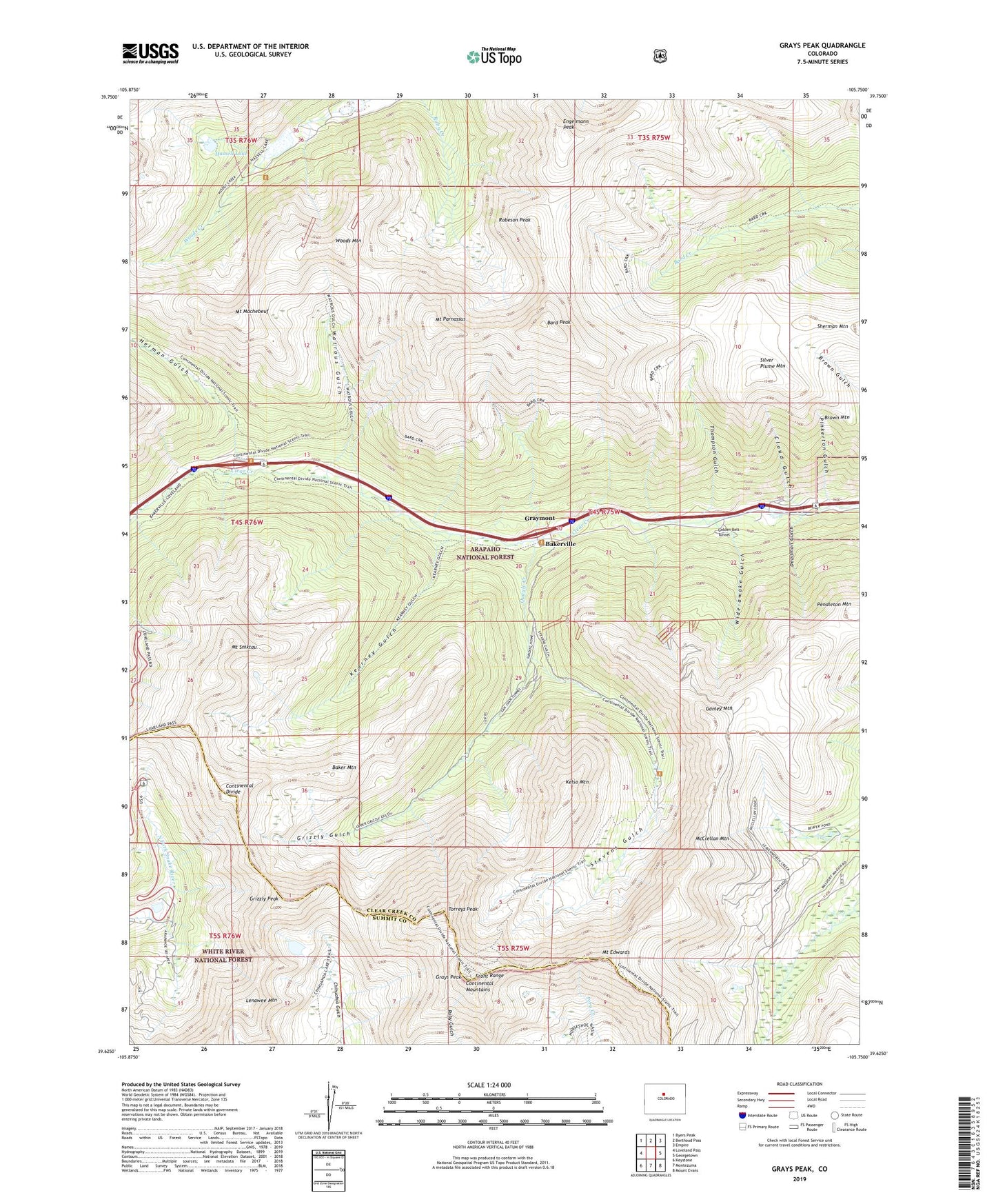
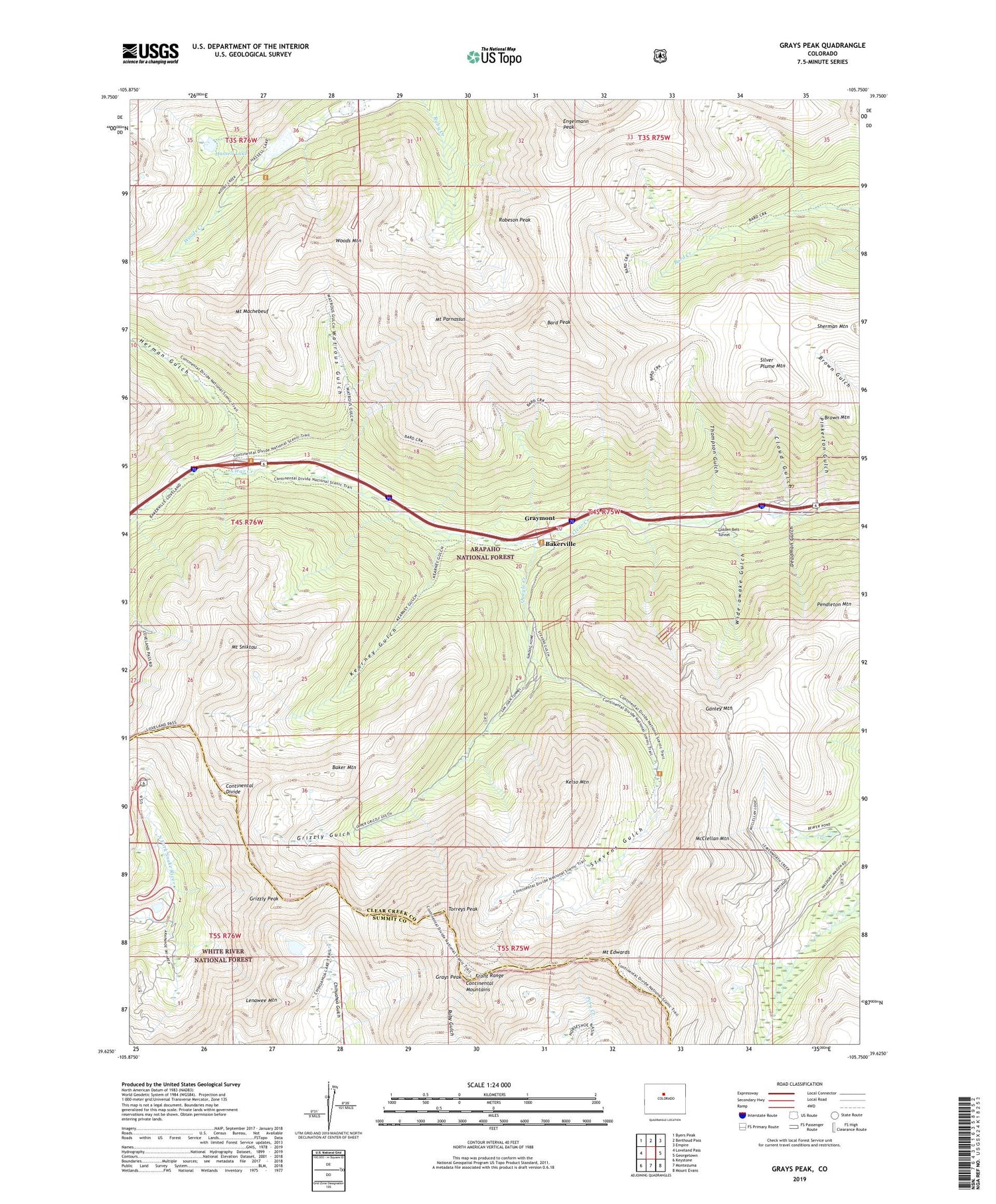
Grays Peak Colorado US Topo Map
Couldn't load pickup availability
Also explore the Grays Peak Forest Service Topo of this same quad for updated USFS data
2022 topographic map quadrangle Grays Peak in the state of Colorado. Scale: 1:24000. Based on the newly updated USGS 7.5' US Topo map series, this map is in the following counties: Clear Creek, Summit. The map contains contour data, water features, and other items you are used to seeing on USGS maps, but also has updated roads and other features. This is the next generation of topographic maps. Printed on high-quality waterproof paper with UV fade-resistant inks.
Quads adjacent to this one:
West: Loveland Pass
Northwest: Byers Peak
North: Berthoud Pass
Northeast: Empire
East: Georgetown
Southeast: Mount Evans
South: Montezuma
Southwest: Keystone
This map covers the same area as the classic USGS quad with code o39105f7.
Contains the following named places: A Tunnel Mine, Aldrich Mine, AP Tunnel Mine, Arapaho Basin Ski Area, Argentine Mine, Argentine Pass, Atlantis Mine, B Tunnel Mine, Baker Mountain, Bakerville, Bard Peak, Big Boy Mine, Big Chief Mine, Booster Mine, Broken Handle Mine, Bryan Tunnel Mine, Celestine Mine, Climax Mine, Cloud Gulch, Continental Mountains, Coo Coo Mine, Deadman Gulch, Decatur Mines, Dewey Tunnel Mine, Dry Gulch, Eagles Nest Mine, Elizabeth Mine, Emperor Tunnel Mine, Engelmann Peak, Esperanza Mine, Front Range, Ganley Mountain, Gold Belt Mine, Golden Belt Mine, Golden Belt Tunnel, Graymont, Grays Lake, Grays Peak, Grays Peak Trail, Great East Tunnel Mine, Great Grizzley Gulch Mine, Grizzly Gulch, Grizzly Peak, Grizzly Tunnel, Hamill Mine, Harrower Mine, Hassell Lake, Herman Gulch, Hidden Treasure Mine, Johnny Bull Mine, Joseph Mine, Josephine Mine, Junction Finder Mine, Kearney Gulch, Kelso Group Mine, Kelso Mountain, Kent Mine, King Albert Mine, L M Mine, Laura Mine, Lenawee Mountain, Lower Urad Dam, McClellan Mountain, McClellan Mountain Mine, Mother Mine, Mount Edwards, Mount Machebeuf, Mount Parnassus, Mount Sniktau, Newcastle Mine, Pendleton Mountain, Pinkerton Gulch, Pomeroy Mine, Quayle Creek, Robeson Peak, San Juan Tunnel, Santiago Mine, Silver Cloud Mine, Silver Plume Mountain, Silver Wind One Mine, Silver Wind Three Mine, Silver Wind Two Mine, Smith Tunnel Mine, Sophy Mine, Sterling Silver Group Mine, Stevens Gulch, Stevens Mine, Sussex Mine, Thompson Gulch, Tobin Group Mine, Torreys Peak, Upper Urad Dam, Upper Urad Reservoir, Vidler Mine, W and M Mine, Waldorf Mine, Watrous Gulch, West Terrible Mine, Wide-awake Gulch, Woods Mountain, ZIP Codes: 80438, 80476


