MyTopo
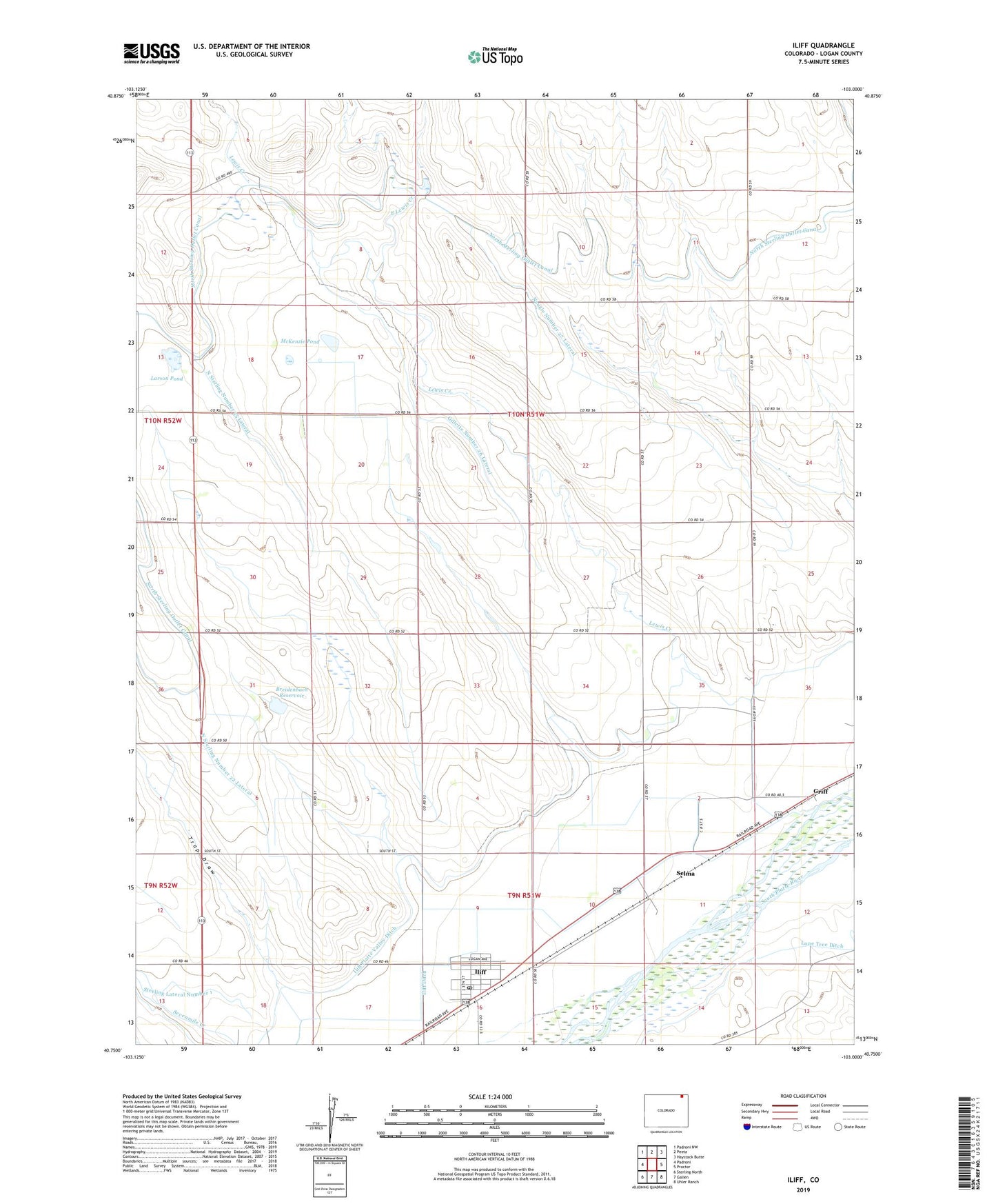
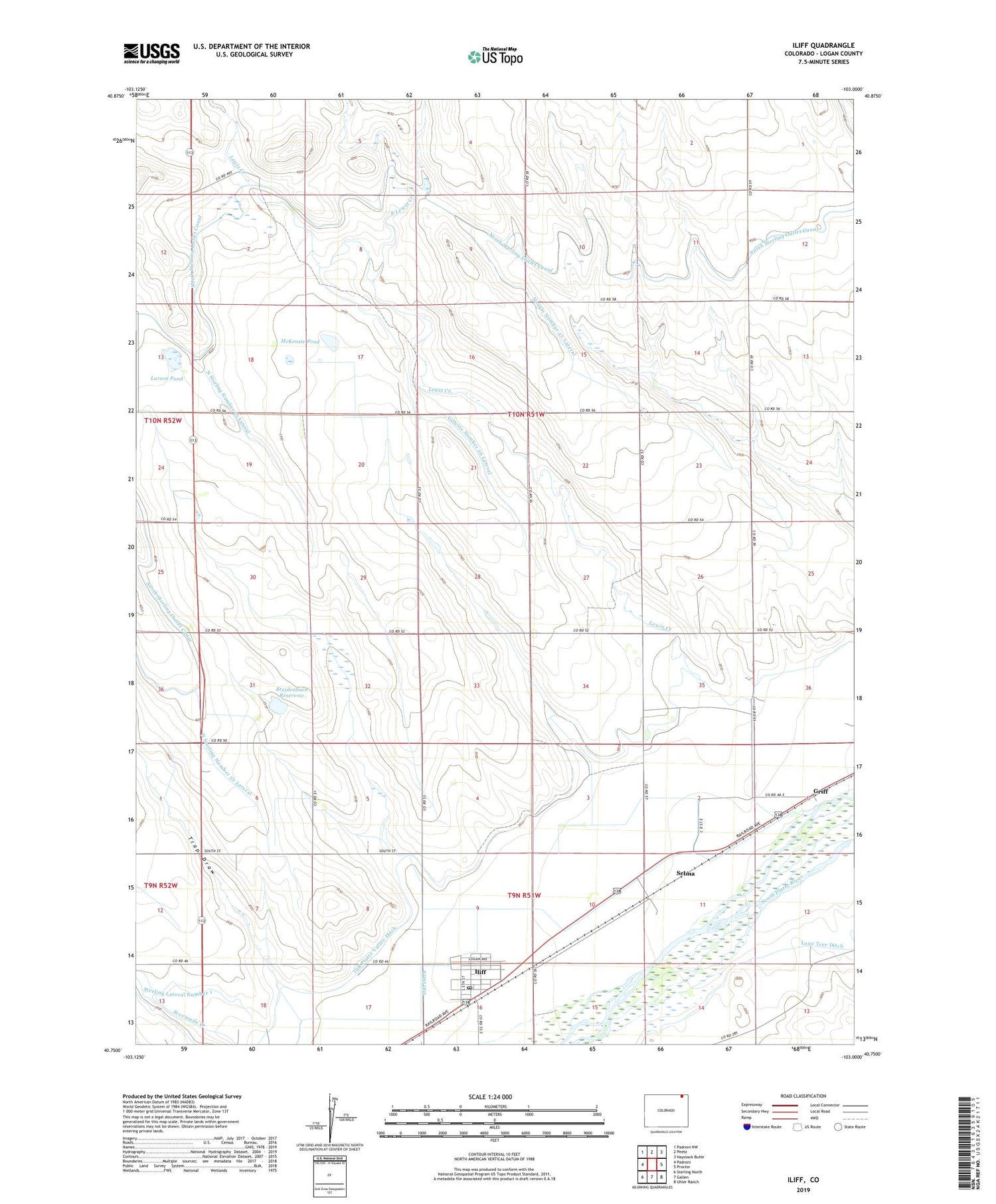
Iliff Colorado US Topo Map
Couldn't load pickup availability
2022 topographic map quadrangle Iliff in the state of Colorado. Scale: 1:24000. Based on the newly updated USGS 7.5' US Topo map series, this map is in the following counties: Logan. The map contains contour data, water features, and other items you are used to seeing on USGS maps, but also has updated roads and other features. This is the next generation of topographic maps. Printed on high-quality waterproof paper with UV fade-resistant inks.
Quads adjacent to this one:
West: Padroni
Northwest: Padroni NW
North: Peetz
Northeast: Haystack Butte
East: Proctor
Southeast: Uhler Ranch
South: Galien
Southwest: Sterling North
This map covers the same area as the classic USGS quad with code o40103g1.
Contains the following named places: Breidenbach Dam, Breidenbach Reservoir, East Lewis Creek, Gillette Number 26 Lateral, Griff, Iliff, Iliff Ditch, Iliff Platte Valley Ditch, Iliff Post Office, Larson Pond, Lewis Creek, McKenzie Pond, Naugle Number 27 Lateral, North Sterling Number 22 Lateral, North Sterling Number 25 Lateral, North Sterling Outlet Canal, Selma, Town of Iliff, Trap Draw, ZIP Code: 80736