MyTopo
Haystack Butte Colorado US Topo Map
Couldn't load pickup availability
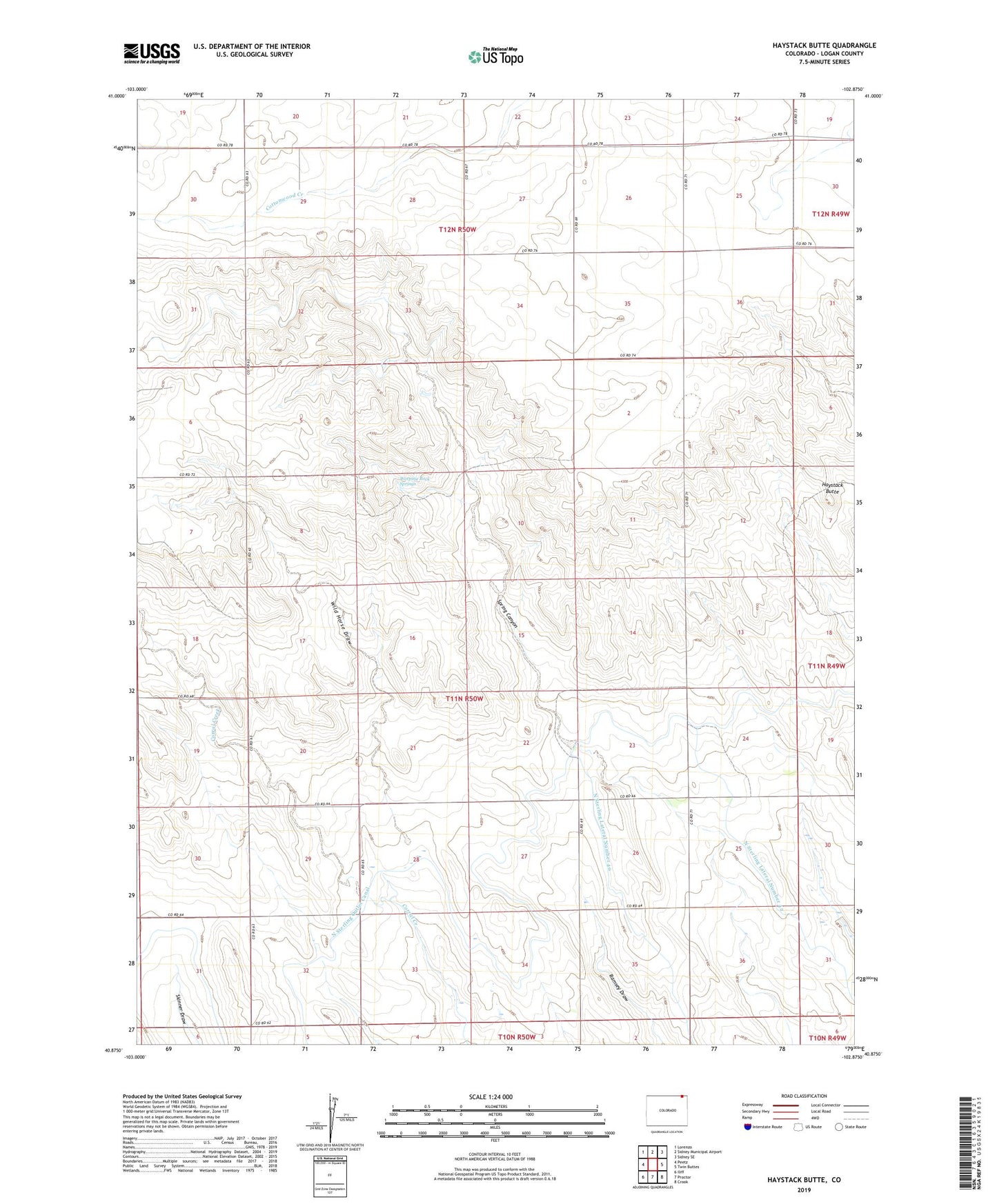
2022 topographic map quadrangle Haystack Butte in the state of Colorado. Scale: 1:24000. Based on the newly updated USGS 7.5' US Topo map series, this map is in the following counties: Logan. The map contains contour data, water features, and other items you are used to seeing on USGS maps, but also has updated roads and other features. This is the next generation of topographic maps. Printed on high-quality waterproof paper with UV fade-resistant inks.
Quads adjacent to this one:
West: Peetz
Northwest: Lorenzo
North: Sidney Municipal Airport
Northeast: Sidney SE
East: Twin Buttes
Southeast: Crook
South: Proctor
Southwest: Iliff
This map covers the same area as the classic USGS quad with code o40102h8.
Contains the following named places: Haystack Butte, Lauderback School, North Sterling Lateral Number 40, North Sterling Lateral Number 42, Weeping Rock Springs, Wild Horse Draw