MyTopo
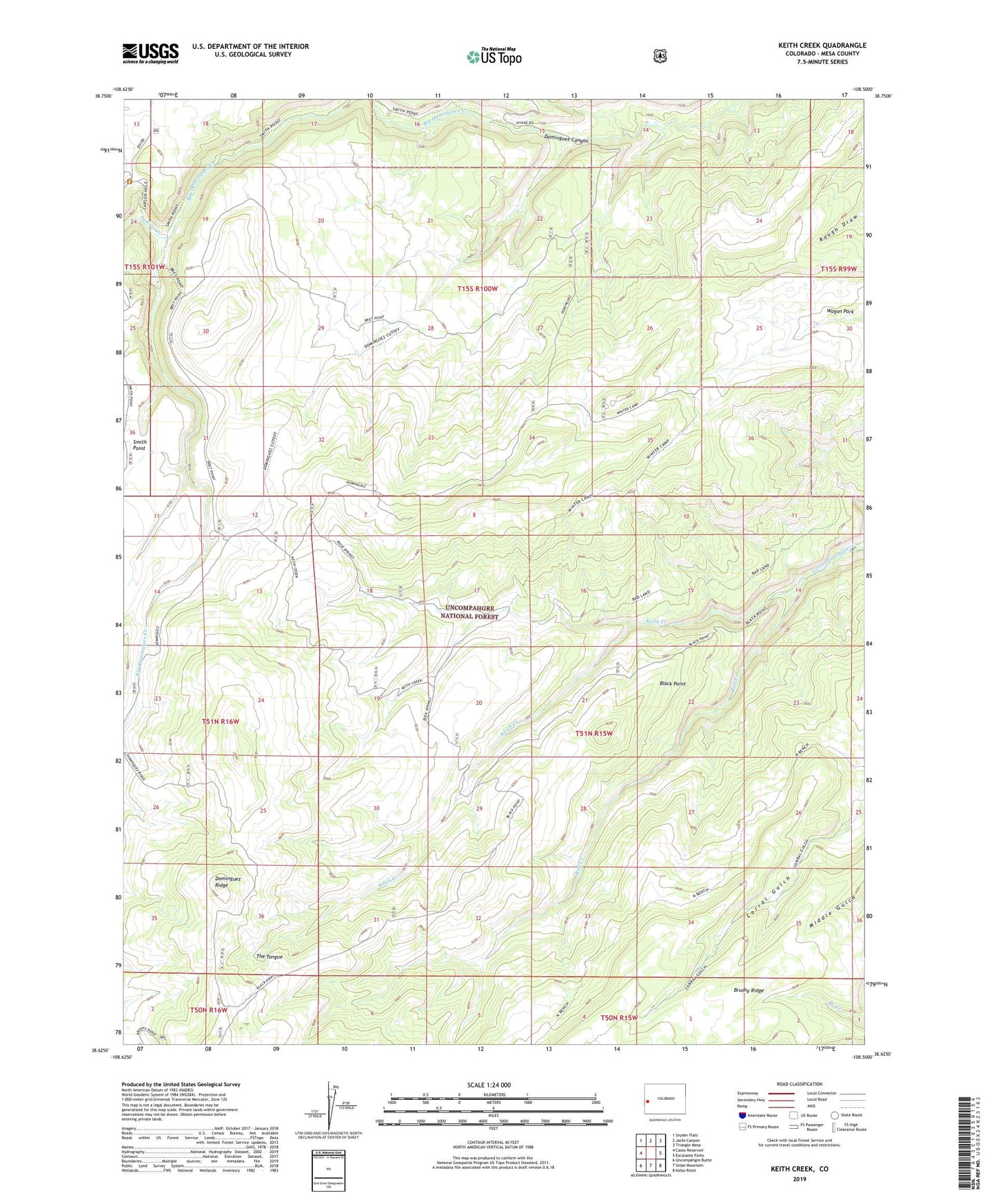
Keith Creek Colorado US Topo Map
Couldn't load pickup availability
Also explore the Keith Creek Forest Service Topo of this same quad for updated USFS data
2022 topographic map quadrangle Keith Creek in the state of Colorado. Scale: 1:24000. Based on the newly updated USGS 7.5' US Topo map series, this map is in the following counties: Mesa. The map contains contour data, water features, and other items you are used to seeing on USGS maps, but also has updated roads and other features. This is the next generation of topographic maps. Printed on high-quality waterproof paper with UV fade-resistant inks.
Quads adjacent to this one:
West: Casto Reservoir
Northwest: Snyder Flats
North: Jacks Canyon
Northeast: Triangle Mesa
East: Escalante Forks
Southeast: Kelso Point
South: Snipe Mountain
Southwest: Uncompahgre Butte
This map covers the same area as the classic USGS quad with code o38108f5.
Contains the following named places: Black Point, Carson Hole, Carson Hole Picnic Area, Dominguez Campground, Dominguez Ridge, Dominguez Trail, Keith Creek, La Fair Creek, Red Creek, Wagon Park, Winter Camp