
MyTopo
Lake Henry Colorado US Topo Map
Couldn't load pickup availability
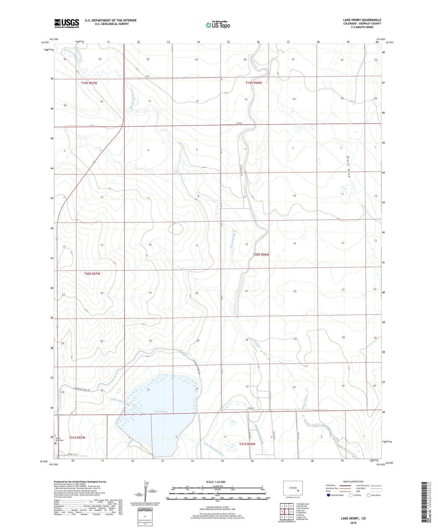
2022 topographic map quadrangle Lake Henry in the state of Colorado. Scale: 1:24000. Based on the newly updated USGS 7.5' US Topo map series, this map is in the following counties: Crowley. The map contains contour data, water features, and other items you are used to seeing on USGS maps, but also has updated roads and other features. This is the next generation of topographic maps. Printed on high-quality waterproof paper with UV fade-resistant inks.
Quads adjacent to this one:
West: Nero Hill
Northwest: Windmill Lake
North: Box Springs
Northeast: The Pinnacles
East: Todd Point
Southeast: Meredith Hill
South: Sugar City
Southwest: Ordway
This map covers the same area as the classic USGS quad with code o38103c6.
Contains the following named places: Breckenridge Creek, Dead Horse Creek, Faw Wells, Lake Henry, Lake Henry Anticline Pit, Lake Henry Inlet, Lone Tree Creek, Valley View Cemetery, West Ditch


