MyTopo
Leader SE Colorado US Topo Map
Couldn't load pickup availability
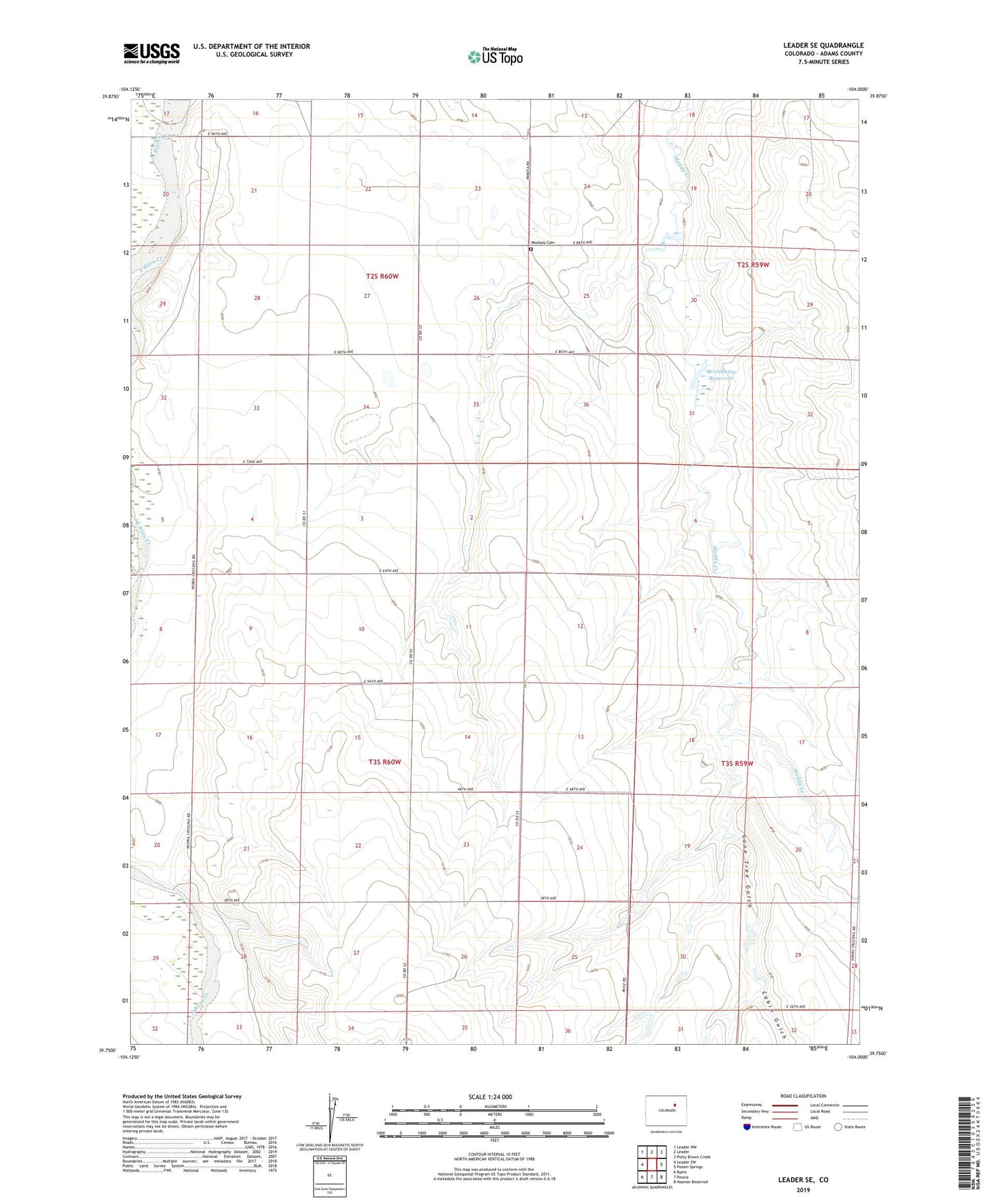
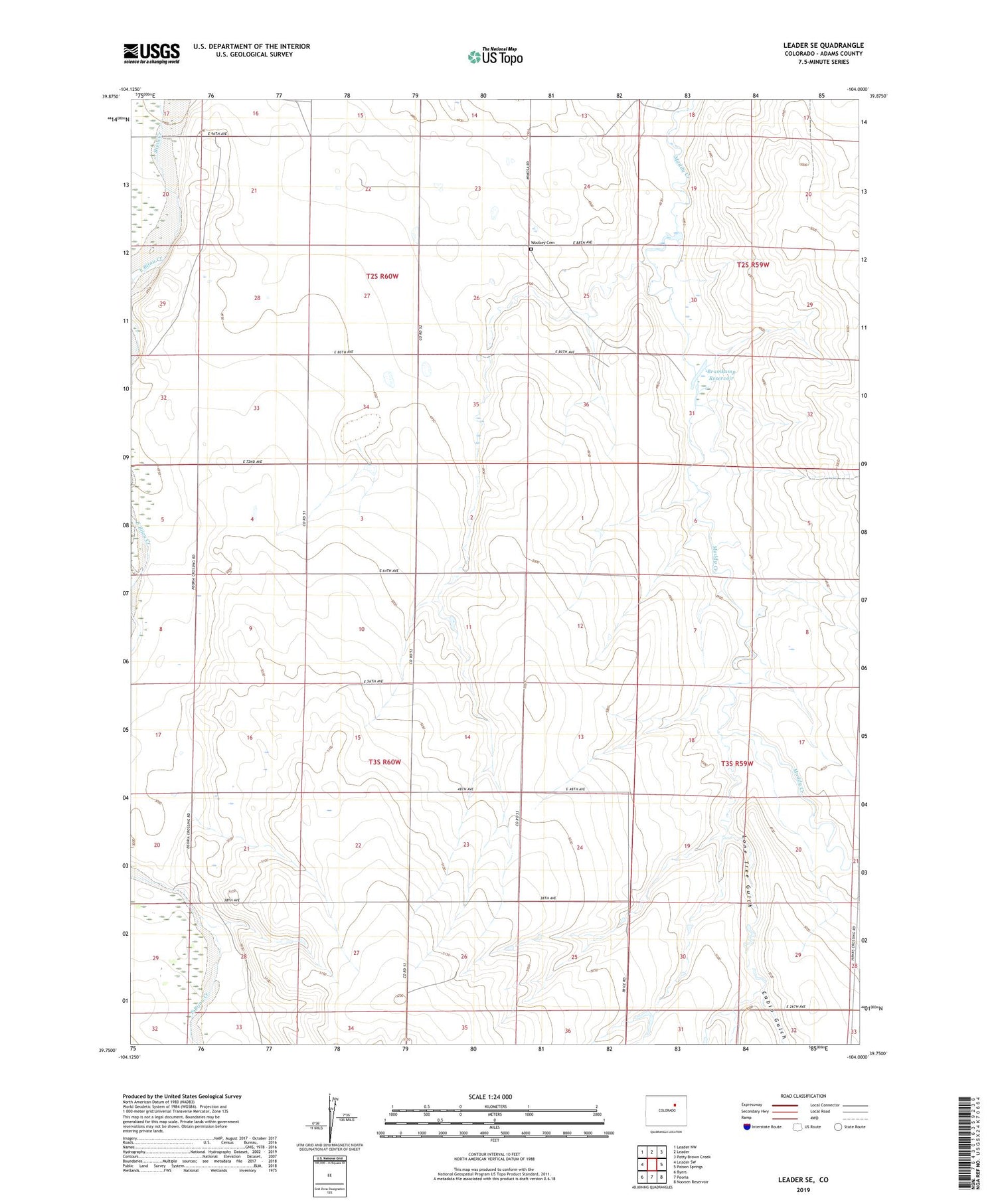
2022 topographic map quadrangle Leader SE in the state of Colorado. Scale: 1:24000. Based on the newly updated USGS 7.5' US Topo map series, this map is in the following counties: Adams. The map contains contour data, water features, and other items you are used to seeing on USGS maps, but also has updated roads and other features. This is the next generation of topographic maps. Printed on high-quality waterproof paper with UV fade-resistant inks.
Quads adjacent to this one:
West: Leader SW
Northwest: Leader NW
North: Leader
Northeast: Potty Brown Creek
East: Poison Springs
Southeast: Noonen Reservoir
South: Peoria
Southwest: Byers
This map covers the same area as the classic USGS quad with code o39104g1.
Contains the following named places: Bramkamp Dam, Bramkamp Reservoir, Busy Bee School, Cabin Gulch, East Bijou Creek, Lone Tree Gulch, No Name 1-1 Number 1 Dam, No Name 1-1 Number 1 Reservoir, Valhalla Ranch, West Bijou Creek, Woolsey Cemetery