MyTopo
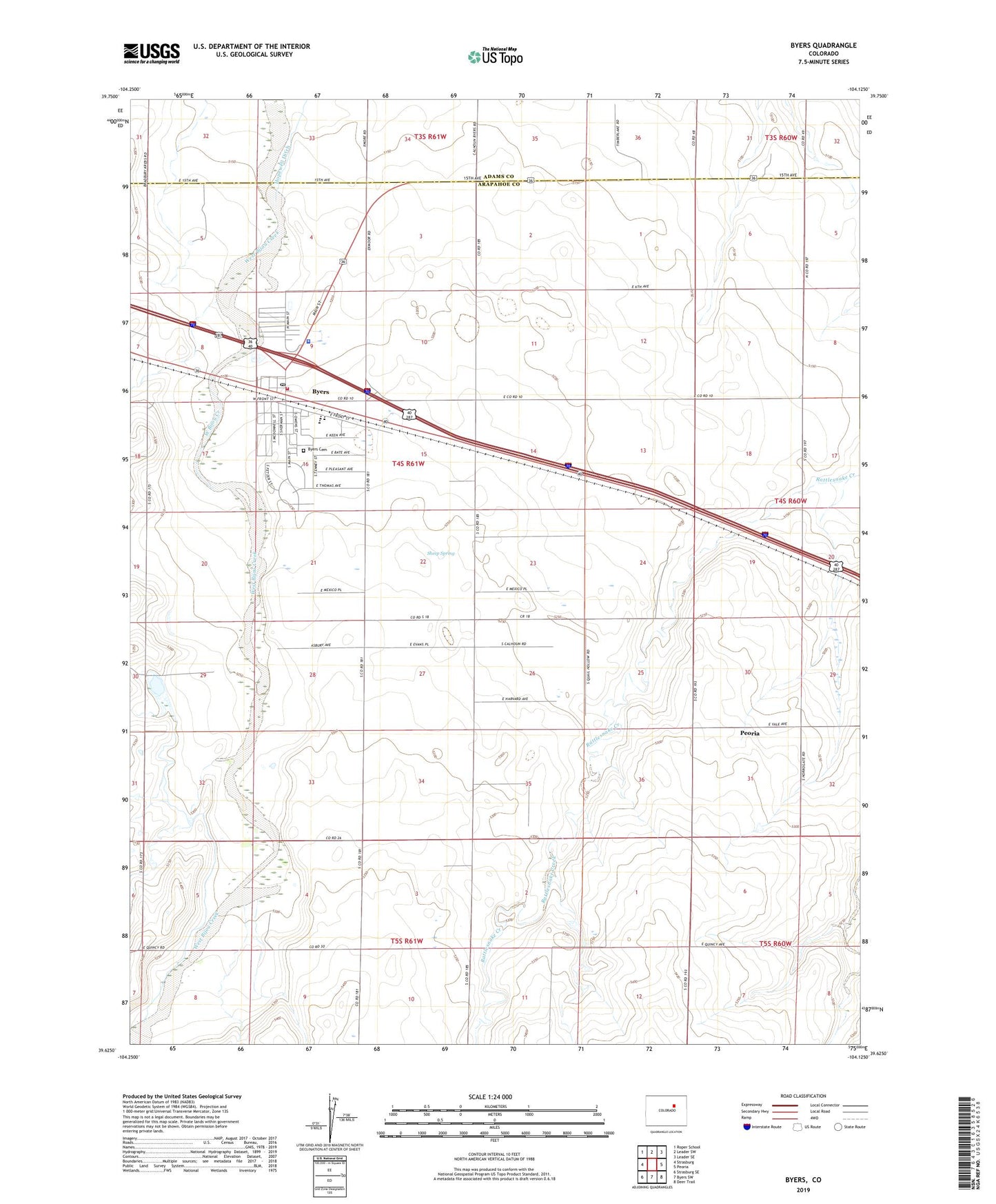
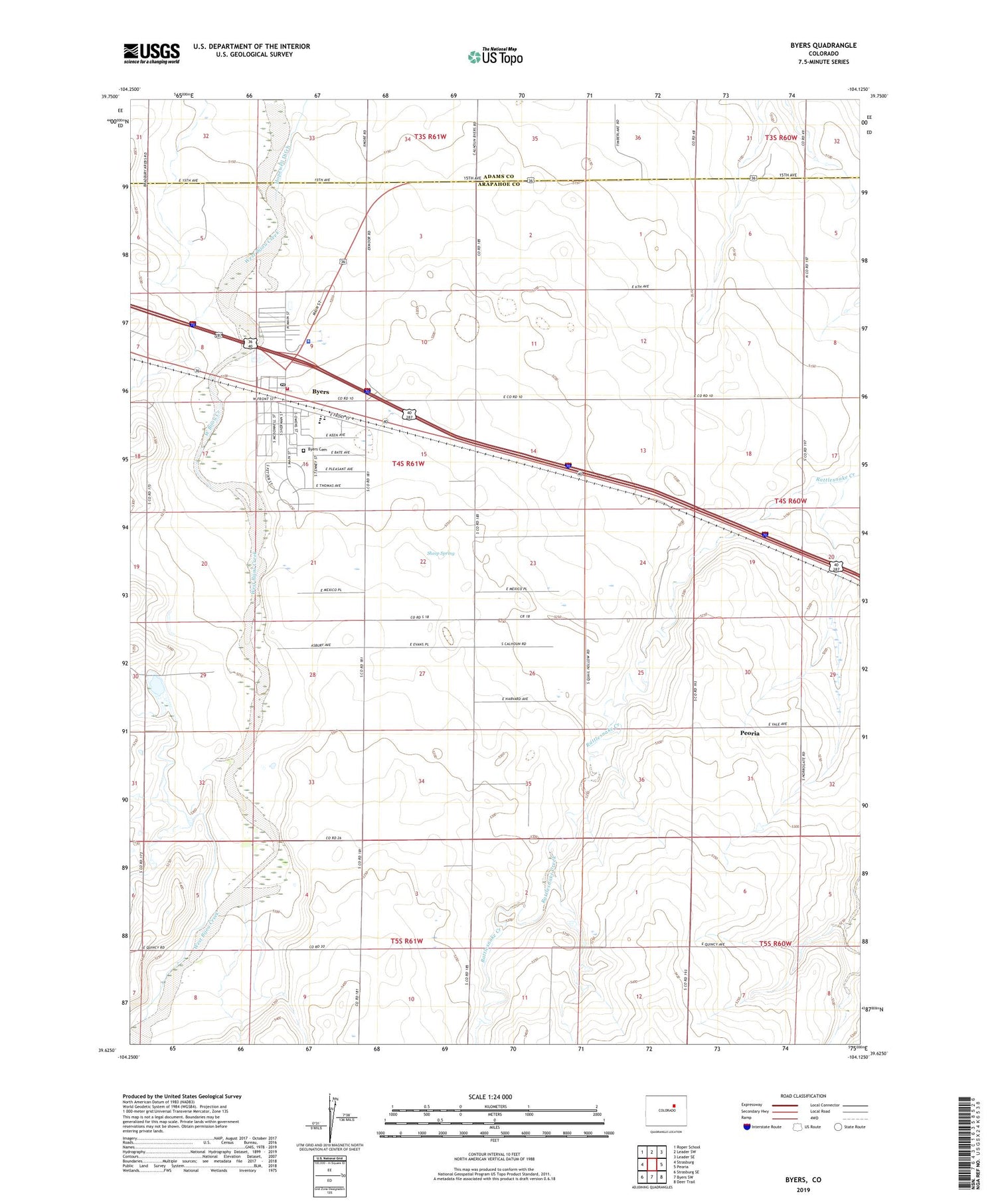
Byers Colorado US Topo Map
Couldn't load pickup availability
2022 topographic map quadrangle Byers in the state of Colorado. Scale: 1:24000. Based on the newly updated USGS 7.5' US Topo map series, this map is in the following counties: Arapahoe, Adams. The map contains contour data, water features, and other items you are used to seeing on USGS maps, but also has updated roads and other features. This is the next generation of topographic maps. Printed on high-quality waterproof paper with UV fade-resistant inks.
Quads adjacent to this one:
West: Strasburg
Northwest: Roper School
North: Leader SW
Northeast: Leader SE
East: Peoria
Southeast: Deer Trail
South: Byers SW
Southwest: Strasburg SE
This map covers the same area as the classic USGS quad with code o39104f2.
Contains the following named places: Arapahoe County Sheriff's Office Byers Substation, Bellview School, Bijou Hill Dairy, Byers, Byers Ambulance Services, Byers Cemetery, Byers Census Designated Place, Byers Fire Department, Byers Post Office, East Arapahoe Division, East Moore Field, Peoria Census Designated Place, Sheep Spring, Sky Haven Airport