
MyTopo
McIntosh Ranch Colorado US Topo Map
Couldn't load pickup availability
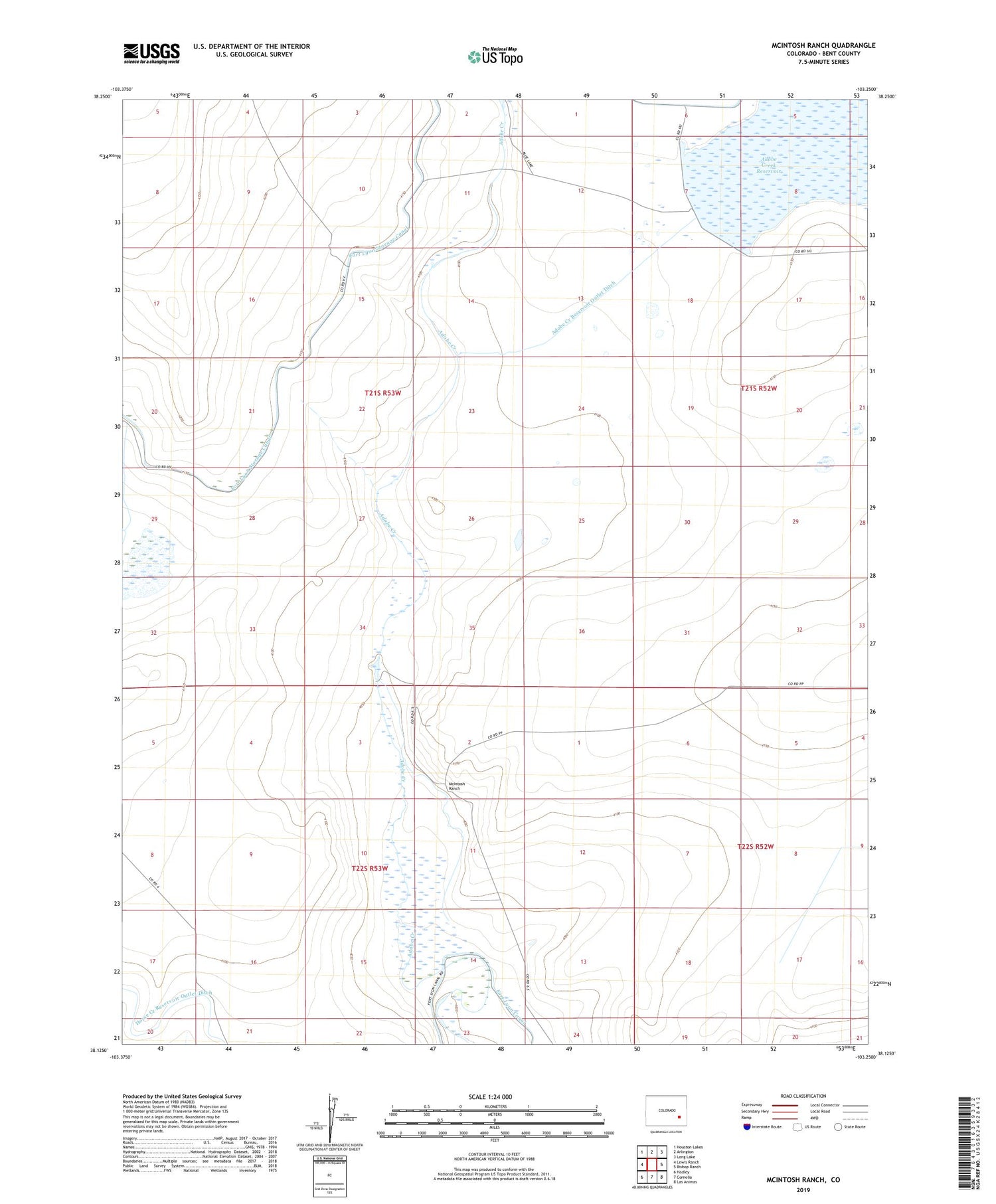
2022 topographic map quadrangle McIntosh Ranch in the state of Colorado. Scale: 1:24000. Based on the newly updated USGS 7.5' US Topo map series, this map is in the following counties: Bent. The map contains contour data, water features, and other items you are used to seeing on USGS maps, but also has updated roads and other features. This is the next generation of topographic maps. Printed on high-quality waterproof paper with UV fade-resistant inks.
Quads adjacent to this one:
West: Lewis Ranch
Northwest: Houston Lakes
North: Arlington
Northeast: Long Lake
East: Bishop Ranch
Southeast: Las Animas
South: Cornelia
Southwest: Hadley
This map covers the same area as the classic USGS quad with code o38103b3.
Contains the following named places: Adobe Creek Dam, Adobe Creek Reservoir Outlet Ditch, Blue Lake Reservoir, Horse Creek Reservoir Inlet Ditch, Horse Creek Reservoir Outlet Ditch, Las Animas Division, McIntosh Ranch, Spady Cow Camp


