MyTopo
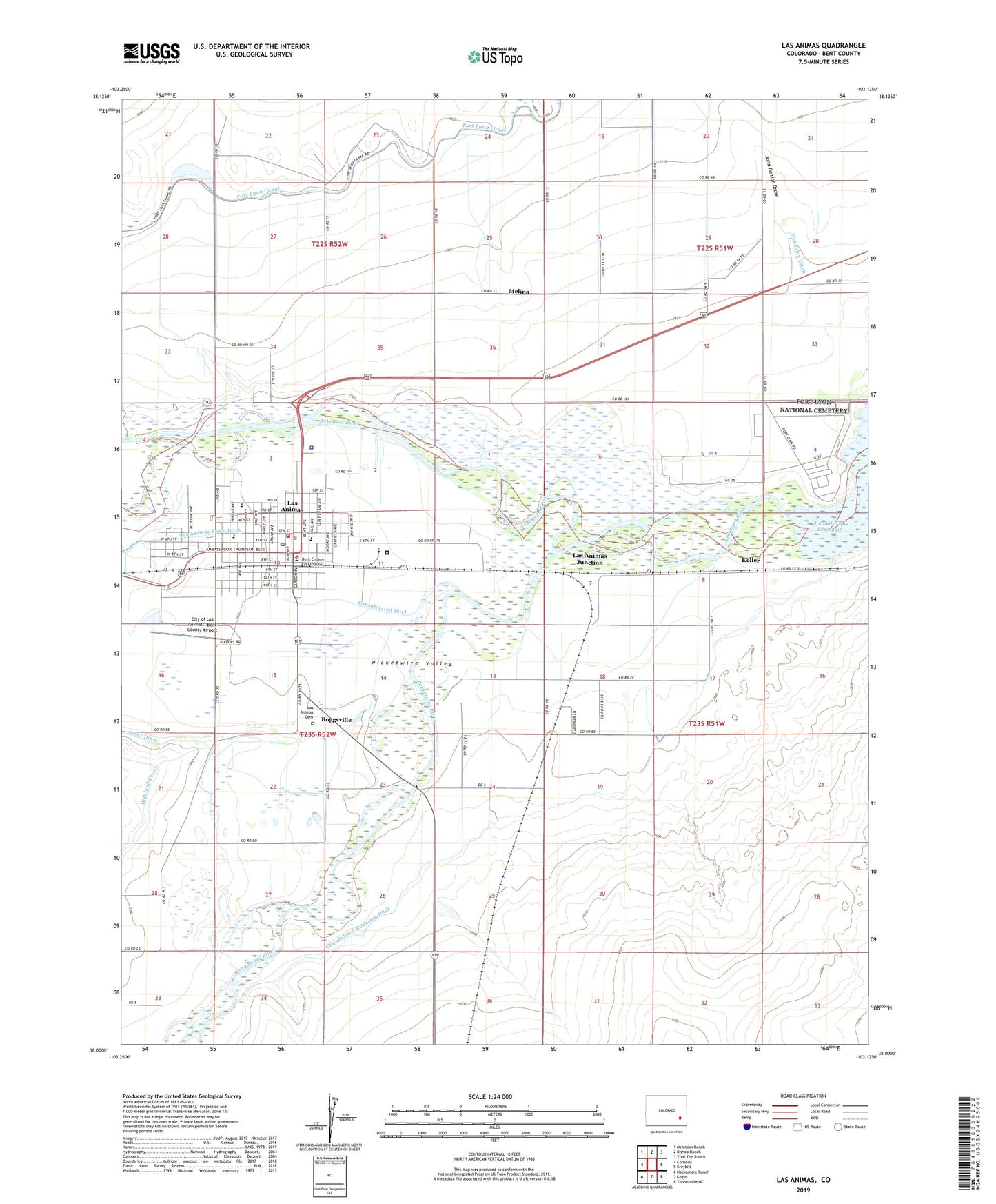
Las Animas Colorado US Topo Map
Couldn't load pickup availability
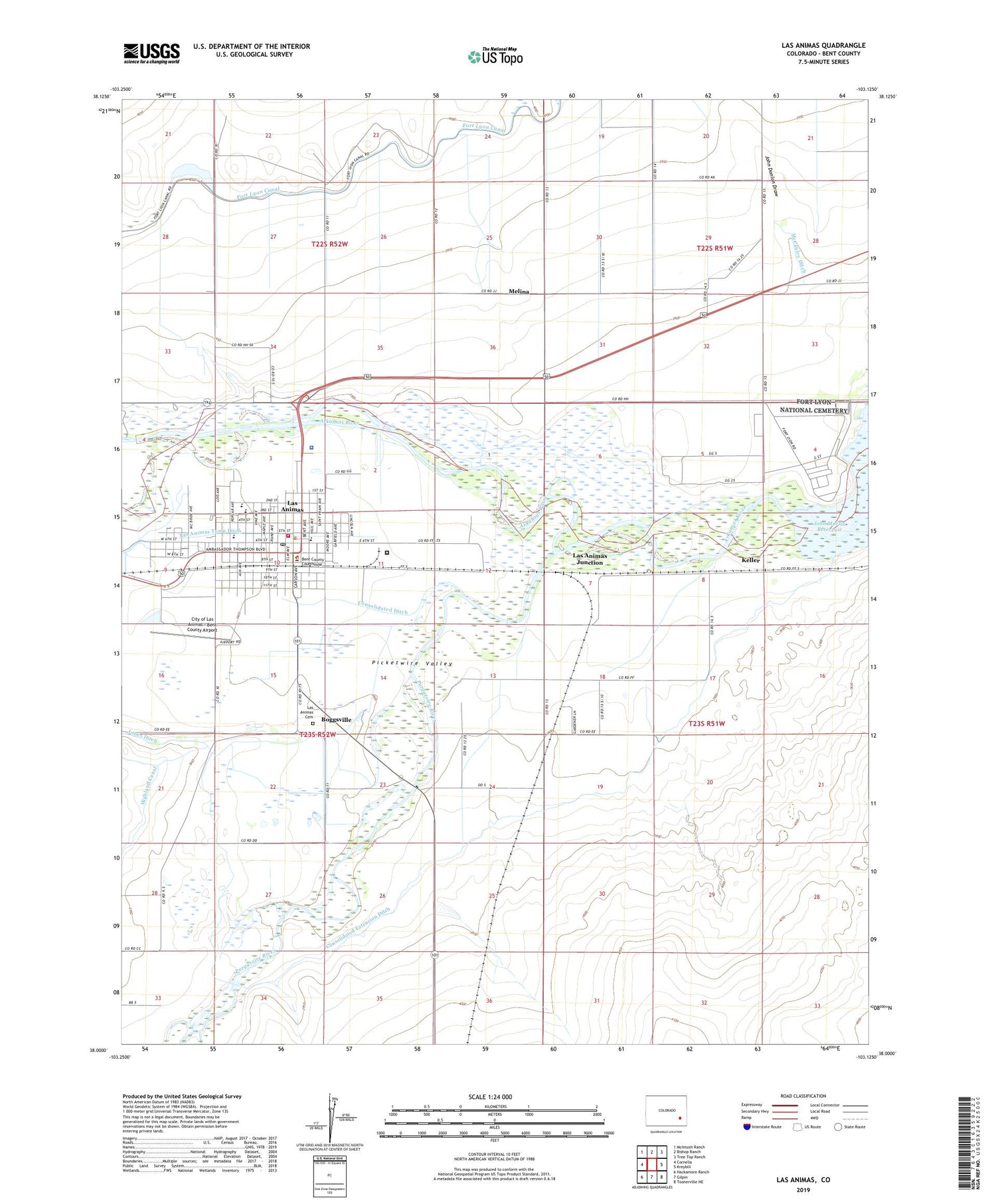
2022 topographic map quadrangle Las Animas in the state of Colorado. Scale: 1:24000. Based on the newly updated USGS 7.5' US Topo map series, this map is in the following counties: Bent. The map contains contour data, water features, and other items you are used to seeing on USGS maps, but also has updated roads and other features. This is the next generation of topographic maps. Printed on high-quality waterproof paper with UV fade-resistant inks.
Quads adjacent to this one:
West: Cornelia
Northwest: McIntosh Ranch
North: Bishop Ranch
Northeast: Tree Top Ranch
East: Kreybill
Southeast: Toonerville NE
South: Gilpin
Southwest: Hackamore Ranch
This map covers the same area as the classic USGS quad with code o38103a2.
Contains the following named places: Bent County Correctional Facility, Bent County Healthcare Center Emergency Medical Services, Bent County Public Health Office, Bent County Sheriff's Office, Boggsville, Church of Christ, Church of the Nazarene, City of Las Animas, City of Las Animas - Bent County Airport, Consolidated Extension Ditch, First Baptist Church, First Presbyterian Church of Las Animas, First United Methodist Church of Las Animas, Fort Lyon, Fort Lyon National Cemetery, Fort Lyon Veterans Hospital, Friends Church, John Donlon Draw, Keller, Keller School, Las Animas, Las Animas Cemetery, Las Animas Country Club, Las Animas Family Practice, Las Animas Junction, Las Animas Police Department, Las Animas Post Office, Las Animas Volunteer Fire Department, McCauley Ditch, Melina, Nelson Park, Old Santa Fe Trail, Parkview Baptist Church, Picketwire Valley, Purgatoire River, Rixey School, Saint Marys Catholic Church, Saint Paul Lutheran Church, Seed and Supply Church, ZIP Code: 81038


