MyTopo
Painted Canyon Colorado US Topo Map
Couldn't load pickup availability
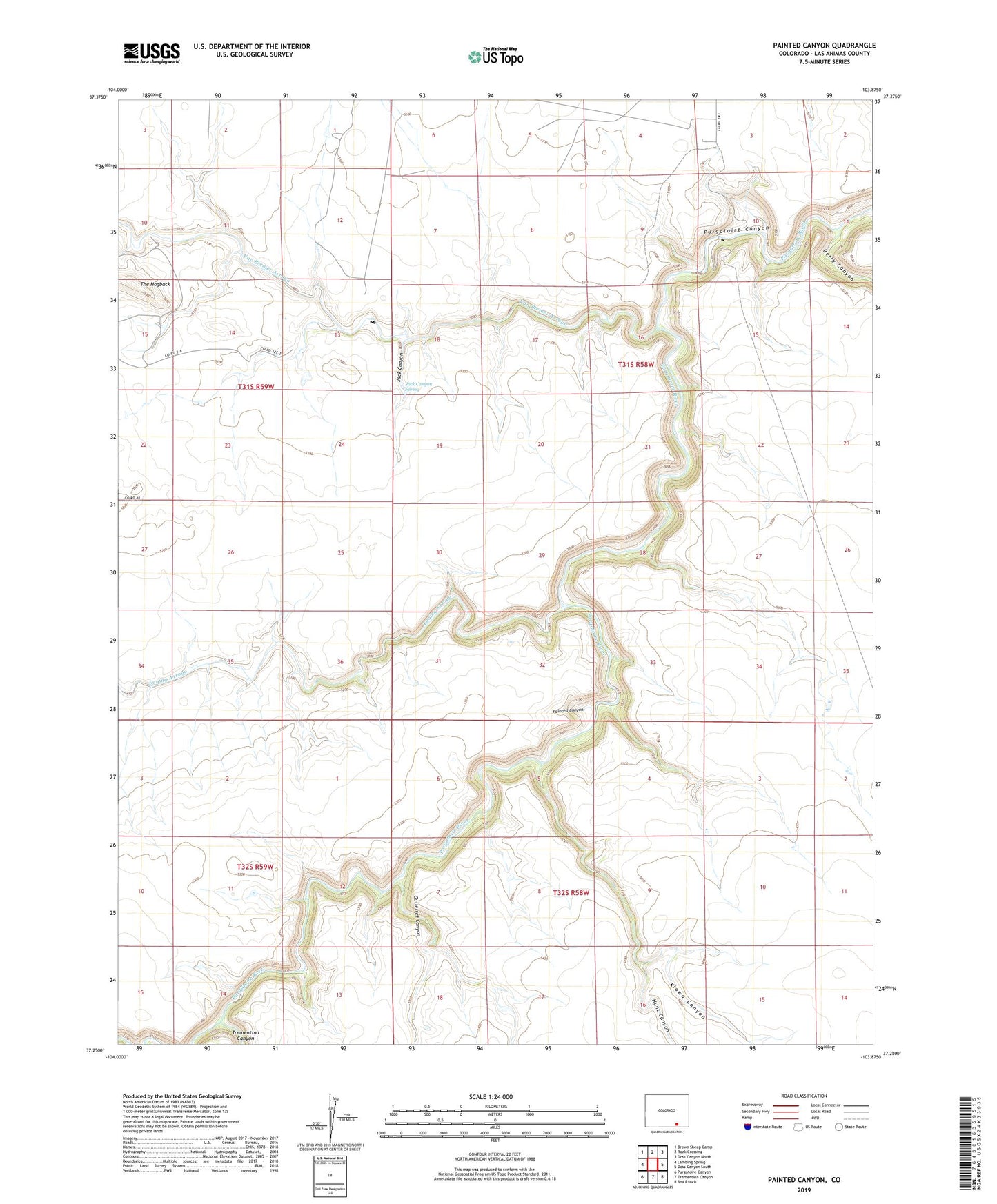
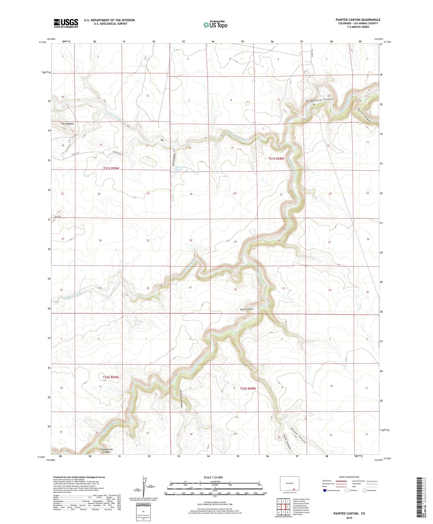
2022 topographic map quadrangle Painted Canyon in the state of Colorado. Scale: 1:24000. Based on the newly updated USGS 7.5' US Topo map series, this map is in the following counties: Las Animas. The map contains contour data, water features, and other items you are used to seeing on USGS maps, but also has updated roads and other features. This is the next generation of topographic maps. Printed on high-quality waterproof paper with UV fade-resistant inks.
Quads adjacent to this one:
West: Lambing Spring
Northwest: Brown Sheep Camp
North: Rock Crossing
Northeast: Doss Canyon North
East: Doss Canyon South
Southeast: Box Ranch
South: Trementina Canyon
Southwest: Purgatoire Canyon
This map covers the same area as the classic USGS quad with code o37103c8.
Contains the following named places: Gutierrez Canyon, Hunt Canyon, Jack Canyon, Jack Canyon Spring, Kiowa Canyon, Painted Canyon, Perly Canyon, Trementina Canyon, Trementina Creek, Van Bremer Arroyo